
| Yeya | |
|---|---|
 | |
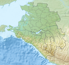  | |
| Location | |
| Country | Russia |
| Physical characteristics | |
| Mouth | Sea of Azov |
• coordinates | 46°39′26″N 38°35′28″E / 46.6571°N 38.591°E |
| Length | 311 km (193 mi) |
| Basin size | 8,650 km2 (3,340 sq mi) |
The Yeya (Russian: Éя) is a river in Krasnodar Krai, Russia. It falls into the Yeya Firth of Taganrog Bay, Sea of Azov. It is 311 kilometres (193 mi) long with a drainage basin of 8,650 square kilometres (3,340 sq mi).[1] It dries up in summer. The port town of Yeysk is located by the Yeya Firth at the neck of the Yeya Spit.[2]
References
- ^ Ея, Great Soviet Encyclopedia
- ^ Sergei R. Grinevetsky; Igor S. Zonn; Sergei S. Zhiltsov; Aleksey N. Kosarev; Andrey G. Kostianoy (2015). The Black Sea Encyclopedia. Springer-Verlag Berlin Heidelberg.
This Krasnodar Krai location article is a stub. You can help Wikipedia by expanding it. |
This article related to a river in Russia is a stub. You can help Wikipedia by expanding it. |