
| Korkodon Коркодон / Коркигэ | |
|---|---|
 | |
 Mouth location in Magadan Oblast, Russia | |
| Location | |
| Country | Magadan Oblast, Russia |
| Physical characteristics | |
| Source | |
| • location | Korkodon Range Kolyma Mountains |
| • coordinates | 63°11′48″N 157°34′51″E / 63.19667°N 157.58083°E |
| Mouth | Kolyma |
• coordinates | 64°43′50″N 153°58′22″E / 64.73056°N 153.97278°E |
• elevation | 93 m (305 ft) |
| Length | 476 km (296 mi) |
| Basin size | 42,800 km2 (16,500 sq mi) |
| Discharge | |
| • average | 51.3 m3/s (1,810 cu ft/s) |
| Basin features | |
| Progression | Kolyma→ East Siberian Sea |
The Korkodon (Russian: Коркодон; Northern Yukaghir: Коркигэ) is a river in Magadan Oblast, Russian Far East. It is a right tributary of the Kolyma, with a length of 476 kilometres (296 mi) a drainage basin of 42,800 square kilometres (16,500 sq mi).[1] The upper reaches of the river are in Omsukchansky District, then it flows across the Srednekansky District in its lower course.[2][3] The name of the river originated in the Northern Yukaghir language.[4]
The Korkodon basin is a desolate area; there are no settlements, but since the lower reaches of the river are navigable; timber rafting was carried out in the 20th century.[5]
Course
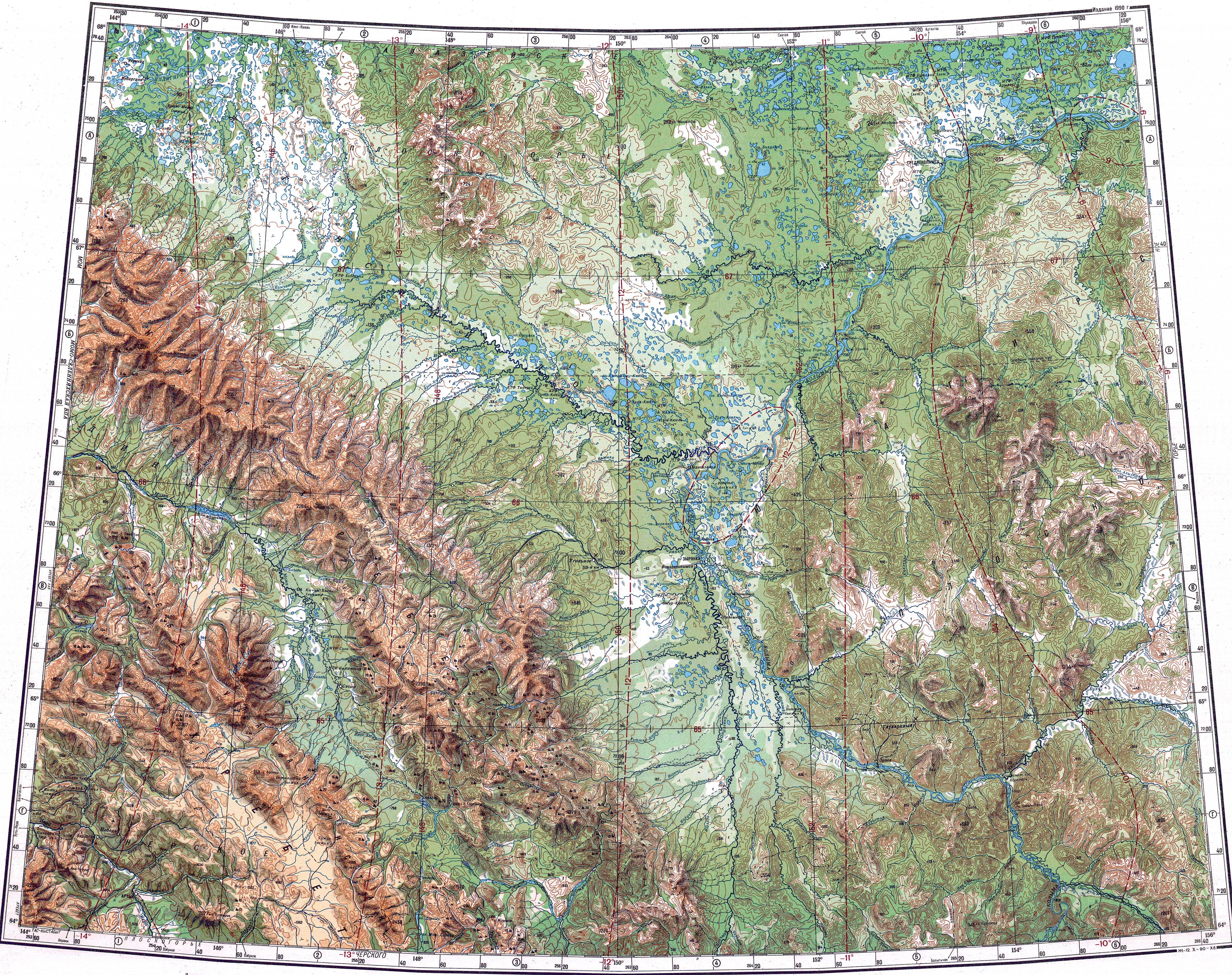
The Korkodon is the fifth longest tributary of the Kolyma and the third in basin area. It has its sources in the Korkodon Range of the Kolyma Mountains. It heads first roughly northwards within a swampy valley between the Korkodon Range to the west and the Molkaty and Kongin ranges to the east. Halfway through its course it bends and flows west and then southwestwards, fringing the Yukaghir Highlands. In its lower course it meanders and flows through a wide flat valley. Finally the river joins the right bank of the Kolyma 1,228 km (763 mi) from its mouth at an elevation of 93 m (305 ft).[2] [5]
The Korkodon has some very long tributaries. The most important ones are the 428 kilometres (266 mi) long Bulun and the 239 kilometres (149 mi) long Bolshoy Yarkodon from the right; and the 208 kilometres (129 mi) long Pungali and the 156 kilometres (97 mi) long Biliriken from the left. There are over 1,100 lakes in the Korkodon basin, most of them of the thermokarst type (alas), as well as swamps.[1] The river freezes between mid October and mid May, but polynyas may form in the lower reaches.[5]
 |
Fauna
Among the fish species found in the river Arctic char, pike, sucker, lenok and whitefish deserve mention.[5]
See also
References
- ^ a b "Река Коркодон in the State Water Register of Russia". textual.ru (in Russian).
- ^ a b Google Earth
- ^ "Топографска карта Q-55 56; M 1:1 000 000 - Topographic USSR Chart (in Russian)". Retrieved 6 January 2022.
- ^ Поспелов Е. М. (1998). Географические названия мира: Топонимический словарь (3000 экз ed.). М.: Русские словари. p. 215. ISBN 5-89216-029-7.
{{cite book}}: Unknown parameter|agency=ignored (help) - ^ a b c d "Water of Russia - Korkodon (in Russian)". Retrieved 6 January 2022.
External links
- Kolyma - Modern Guidebook to Magadan Oblast Archived 2018-07-23 at the Wayback Machine