
| Buor-Yuryakh Буор-Юрях / Буор-Үрэх | |
|---|---|
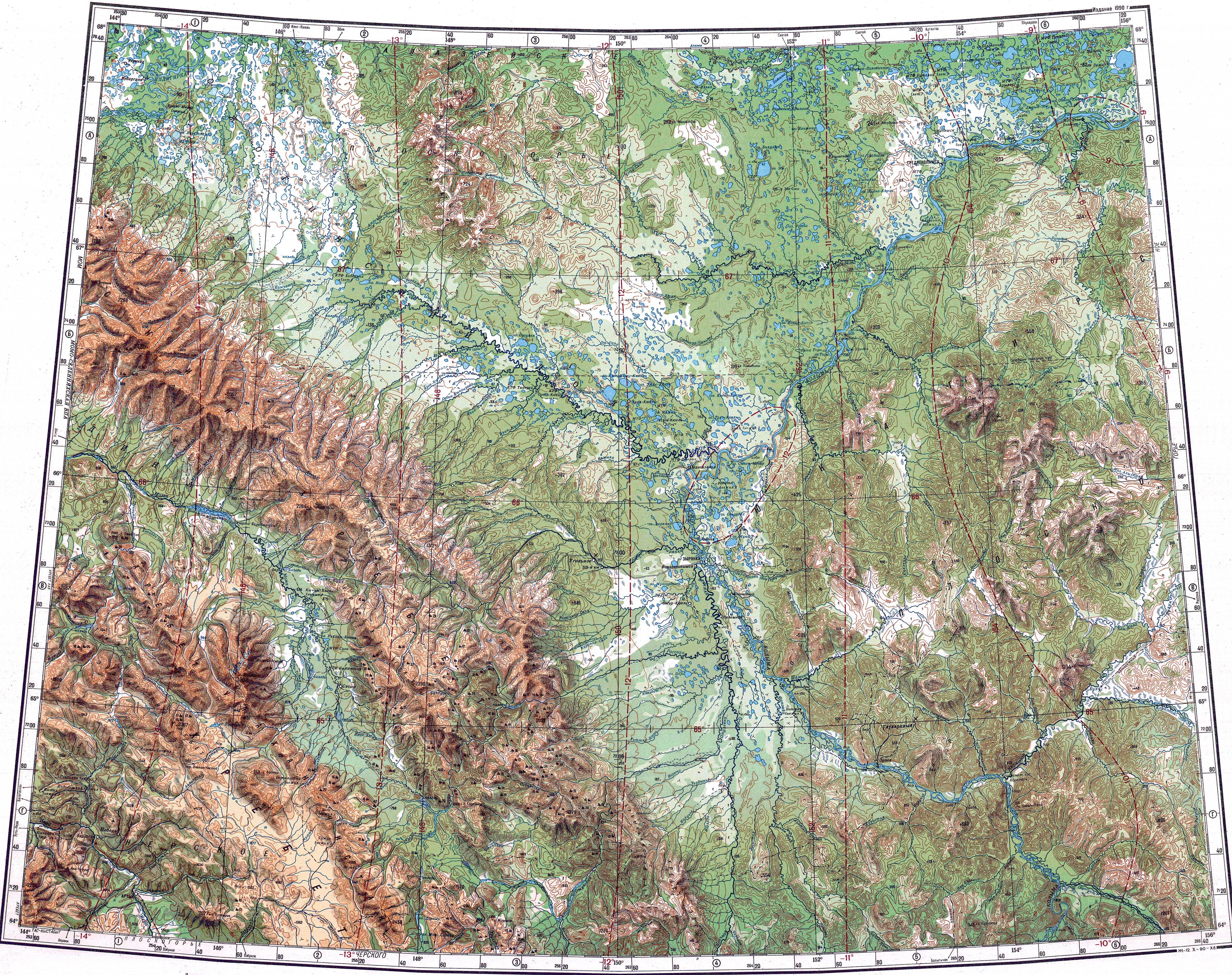
 Buor-Yuryakh course ONC map section | |
 Mouth location in Yakutia, Russia | |
| Location | |
| Country | Russia |
| Physical characteristics | |
| Source | |
| • location | Kolyma Lowland |
| • coordinates | 67°57′29″N 149°54′24″E / 67.95806°N 149.90667°E |
| Mouth | Alazeya |
• coordinates | 68°07′44″N 152°12′26″E / 68.12889°N 152.20722°E |
| Length | 244 km (152 mi) |
| Basin size | 5,170 km2 (2,000 sq mi) |
| Basin features | |
| Progression | Alazeya → Laptev Sea |
The Buor-Yuryakh (Russian: Буор-Юрях; Yakut: Буор-Үрэх, Buor-Ürex) is a river in the Sakha Republic (Yakutia), Russia. It is the second largest tributary of the Alazeya. The river has a length of 244 kilometres (152 mi) and a drainage basin area of 5,170 square kilometres (2,000 sq mi).[1]
The Buor-Yuryakh flows north of the Arctic Circle, across desolate territories of the Srednekolymsky District.[2][3] The name of the river comes from the Yakut "Буор Үрэх" "Buor" = earth, clay / "Yurekh" = river.
Course
The Buor-Yuryakh is a right tributary of the Alazeya. It has its sources in the Kolyma Lowland, off the southern foothills of the Alazeya Plateau. The river flows across a floodplain among numerous lakes forming meanders all along its course. It heads first in a roughly southeastward direction. South of the area of lake Ilka it bends and turns east. Then it turns northeastwards to the east of the lake, bending again eastwards after a stretch, leaving lake Balyma to the south. Finally the Buor-Yuryakh bends northwards to the west of lake Nikolskoye and joins the Alazeya 1,012 km (629 mi) from its mouth.[2][4][3]
Tributaries
The main tributary of the Buor-Yuryakh is the 102 km (63 mi) long Rassokha that joins its right bank 6.2 km (3.9 mi) before the confluence with the Alazeya.[5] There are more than 2,100 lakes in the river basin. The Buor-Yuryakh is frozen between the first half of October and early June.[6]
See also
References
- ^ "Река Буор-Юрэх in the State Water Register of Russia". textual.ru (in Russian).
- ^ a b "R-55_56 Topographic Chart (in Russian)". Retrieved 25 May 2022.
- ^ a b Google Earth
- ^ "Q-55_56 Topographic Chart (in Russian)". Retrieved 25 May 2022.
- ^ "Река Рассоха in the State Water Register of Russia". textual.ru (in Russian).
- ^ Буор-Юрях - nature.ykt
External links
This article related to a river in Russia is a stub. You can help Wikipedia by expanding it. |