
| Chyolomdzha Чёломджа / Чаламдя | |
|---|---|
 | |
 Mouth location in Magadan Oblast, Russia | |
| Location | |
| Country | Russia |
| Federal subject | Magadan Oblast |
| District | Olsky District |
| Physical characteristics | |
| Source | |
| • location | Upper Kolyma Highlands |
| • coordinates | 60°34′05″N 145°41′10″E / 60.56806°N 145.68611°E |
| Mouth | Taui |
• coordinates | 59°46′52″N 148°15′19″E / 59.78111°N 148.25528°E[1] |
| Length | 228 km (142 mi) |
| Basin size | 12,000 km2 (4,600 sq mi) |
| Discharge | |
| • average | 132 m3/s (4,700 cu ft/s) |
| Basin features | |
| Progression | Taui → Sea of Okhotsk |
The Chyolomdzha (Russian: Чёломджа; Even: Чаламдя) is a river in Magadan Oblast, Russia. It has a length of 228 kilometres (142 mi) and a drainage basin of 12,000 square kilometres (4,600 sq mi).[2]
The Chyolomdzha is the longest tributary of the Taui (Kava) and flows across an uninhabited area, part of the Magadan Nature Reserve.[3] The name of the river originated in the Even language.[4]
Course
The source of the Chyolomdzha is in the Upper Kolyma Highlands. The river heads in a roughly southern direction, flowing fast across mountainous terrain, then it turns to the southeast descending into a floodplain where it slows down and splits into multiple sleeves, while the channels form meanders. Finally the Chyolomdzha joins the left bank of the Taui in the wide Kava-Taui Plain, 66 kilometres (41 mi) from its mouth in the Sea of Okhotsk.[3][1][5]
The river freezes yearly between early October and late May.[5] Its main tributary is the 124 km (77 mi) long Burgagylkan (Бургагылкан), joining its left bank in the lower course.[2]
Fauna
Different species of salmonids live in the waters of the Chyolomdzha, including chum salmon, malma, coho salmon and kundzha, as well as grayling.
The banks of the river provide a habitat for the Blakiston's fish owl, an endangered species.[6]
See also
References
- ^ a b Google Earth
- ^ a b "Река Чёломджа in the State Water Register of Russia". textual.ru (in Russian).
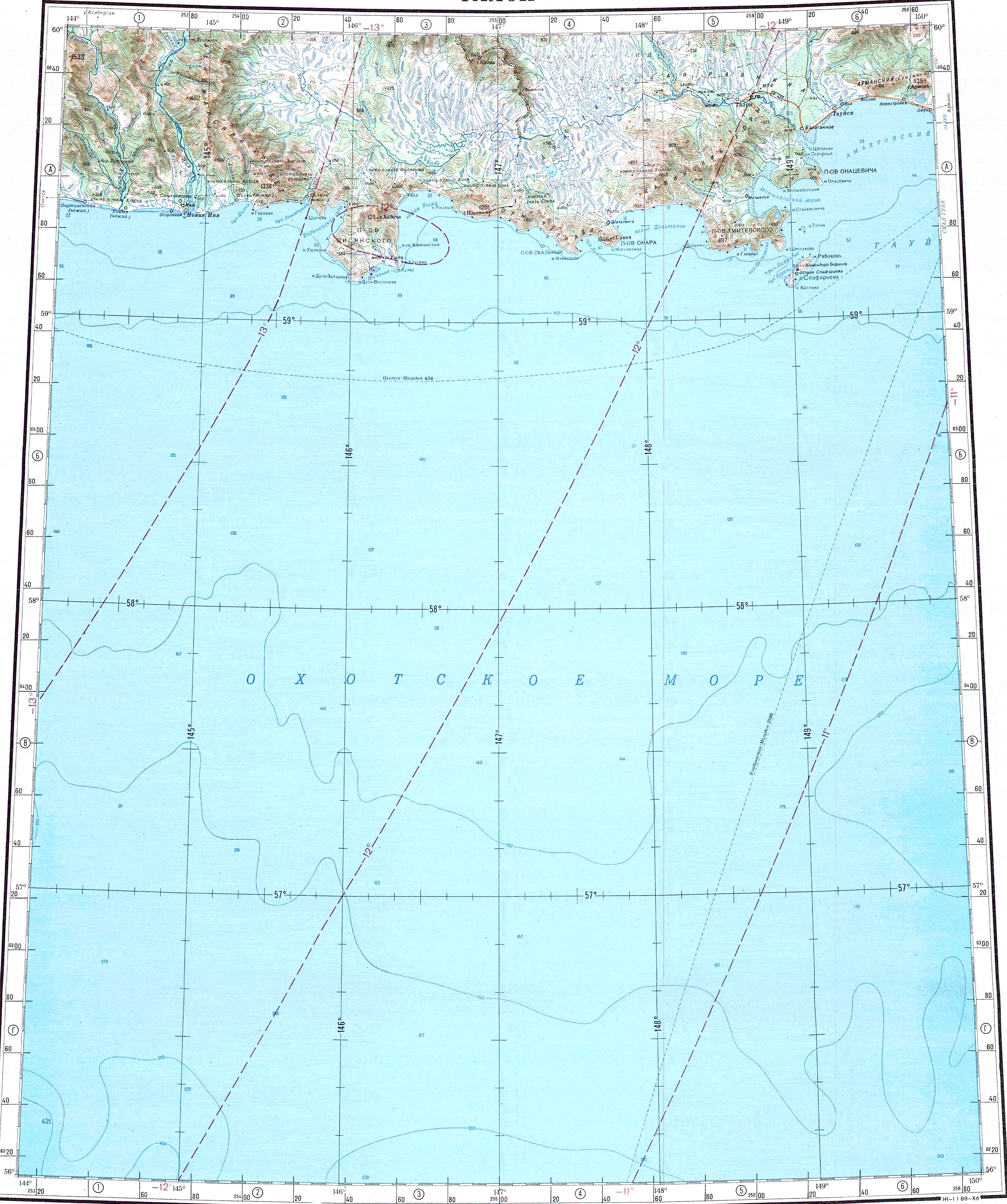
- ^ a b "Топографска карта O-55 - Topographic USSR Chart (in Russian)". Retrieved 18 March 2022.
- ^ Leontyev V.V. , Novikova K.A. Toponymic dictionary of the North-East of the USSR, USSR Academy of Sciences. Magadan, 1989 - p. 409 - ISBN 5-7581-0044-7
- ^ a b Taui - Water of Russia
- ^ Успешное гнездование рыбного филина в Магаданском заповеднике (in Russian)
External links
- Floating Tours Down The Rivers of Magadan Region
- Kolyma - Modern Guidebook to Magadan Oblast Archived 2018-07-23 at the Wayback Machine
This Magadan Oblast location article is a stub. You can help Wikipedia by expanding it. |
This article related to a river in Russia is a stub. You can help Wikipedia by expanding it. |