
| Tolka Толька / Толь-кы | |
|---|---|
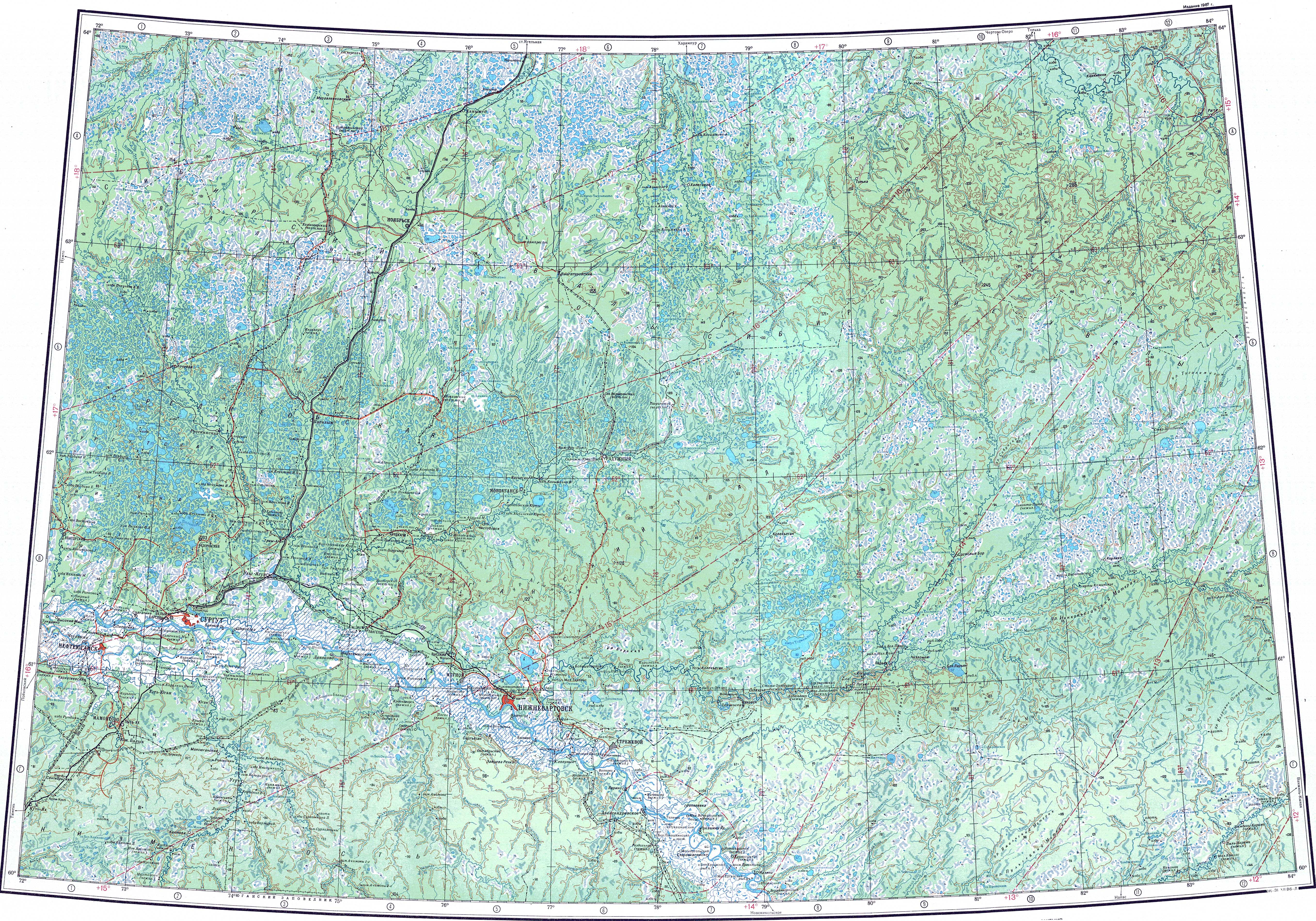
 Lower course of the Tolka ONC map section | |
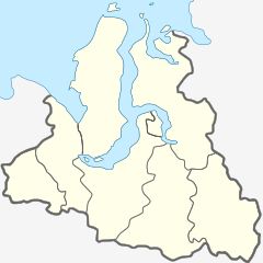 Mouth location in Yamalo-Nenets Autonomous Okrug, Russia | |
| Location | |
| Country | Russia |
| Physical characteristics | |
| Source | |
| • location | Siberian Uvaly |
| • coordinates | 63°12′44″N 80°48′39″E / 63.21222°N 80.81083°E |
| • elevation | 138 metres (453 ft) |
| Mouth | Taz |
• coordinates | 64°02′52″N 81°56′46″E / 64.04778°N 81.94611°E |
• elevation | 25 metres (82 ft) |
| Length | 391 km (243 mi) |
| Basin size | 13,300 km2 (5,100 sq mi) |
| Discharge | |
| • average | 125 m3/s (4,400 cu ft/s) |
| Basin features | |
| Progression | Taz → Kara Sea |
The Tolka (Russian: Толька; Selkup: Толь-кы) is a river in the Yamalo-Nenets Autonomous Okrug, Russia. It has a length of 391 kilometres (243 mi) and a drainage basin area of 13,300 square kilometres (5,100 sq mi).[1]
The river flows north of the Arctic Circle, across territories of the Krasnoselkupsky District marked by permafrost and swamps.[2][3]
Course
The Tolka is one of the main tributaries of the Taz. It is formed in the Siberian Uvaly hills, at the confluence of rivers Ai-Emtoryogan and Pyantymyogan. In its upper course the river heads roughly westwards across the tundra. After a long stretch it bends and meanders in a northeastern direction. Finally, south of the shore of lake Lake Chyortovo (Lozil-To), it bends eastwards, meandering until it meets the left bank of the Taz 723 km (449 mi) from its mouth in the Taz Estuary of the Kara Sea.[2][4][3]
Tributaries
The main tributaries of the Tolka are the 141 km (88 mi) long Varky-Chyuelky (Варкы-Чюэлькы) and the 141 km (88 mi) long Kypa-Kelilky (Кыпа-Кэлилькы) on the left. There are numerous lakes and swamps in its basin, the largest of which are lakes Chyortovo and Pyurmato. The river is frozen between mid October and mid May.[2][5][1]
See also
References
- ^ a b "Река Толька in the State Water Register of Russia". textual.ru (in Russian).
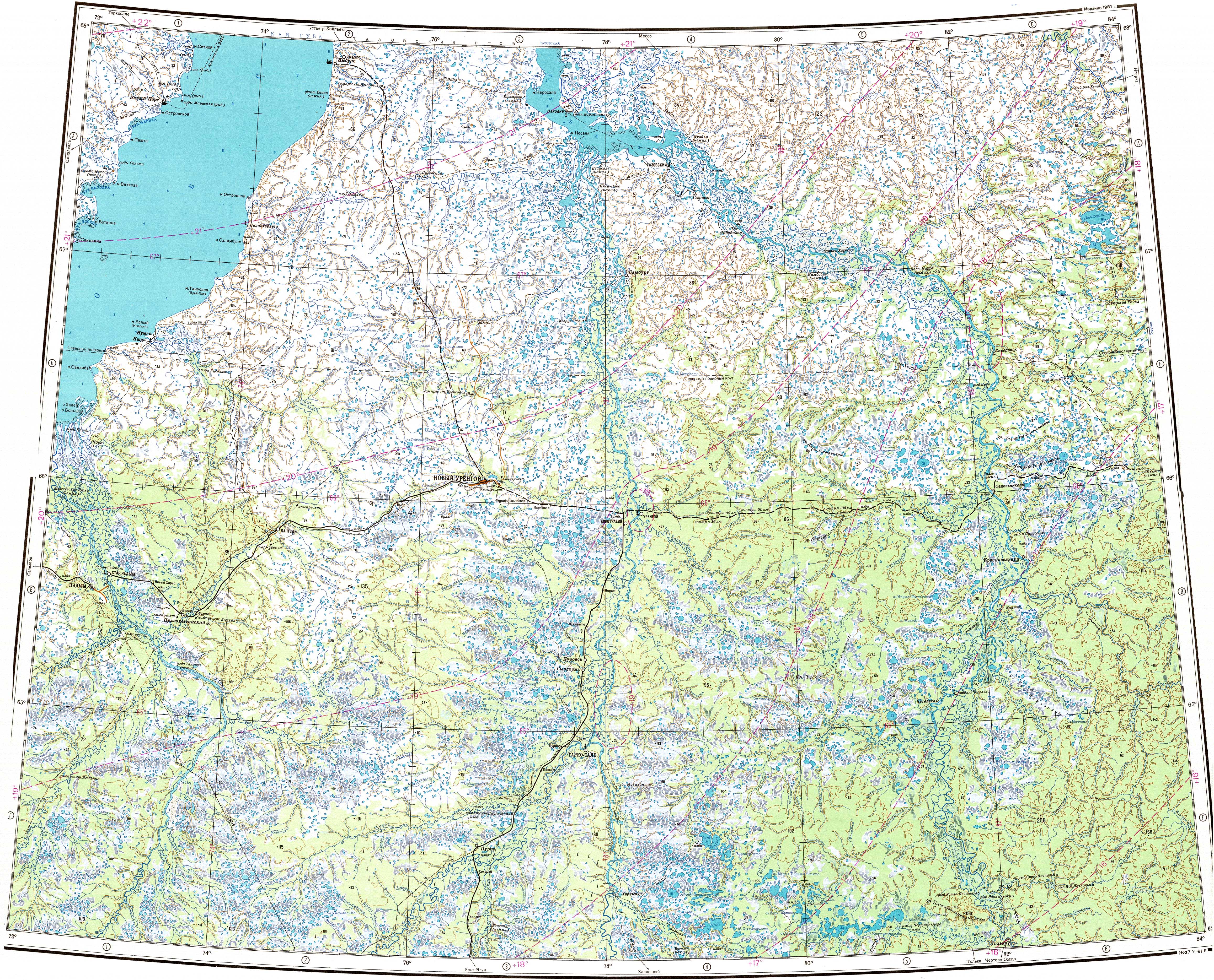
- ^ a b c "P-43_44 Topographic Chart (in Russian)". Retrieved 11 June 2022.
- ^ a b Google Earth
- ^ "Q-43_44 Topographic Chart (in Russian)". Retrieved 11 June 2022.
- ^ Информационный, образовательный, культурный центр города Губкинского Ямало-Ненецкого автономного округа
External links
This article related to a river in Russia is a stub. You can help Wikipedia by expanding it. |