
| Yablon Яблон | |
|---|---|
 Mouth location in Chukotka, Russia | |
| Location | |
| Country | Russia |
| Federal subject | Chukotka Autonomous Okrug |
| Physical characteristics | |
| Source | |
| • location | Oloy Range Kolyma Mountains |
| • elevation | ca 1,200 m (1 mi)[1] |
| Mouth | Anadyr |
• coordinates | 65°23′05″N 168°32′55″E / 65.3848°N 168.5485°E |
| Length | 242 km (150 mi) |
| Basin size | 9,280 km2 (3,580 sq mi) |
| Basin features | |
| Progression | Anadyr→ Bering Sea |
The Yablon (Russian: Яблон) is a river in Chukotka Autonomous Okrug, Russia. It has a length of 242 kilometres (150 mi) and a drainage basin of 9,280 square kilometres (3,580 sq mi).[2]
The Yablon is a right tributary of the Anadyr. The river and its tributaries are frozen for between eight and nine months every year.[3] The nearest village is Markovo, located to the east of the mouth.[4]
History
The formerly unexplored Yablon river, was surveyed in March 1870 by geographer and ethnologist Baron Gerhard von Maydell (1835–1894) during his pioneering research of East Siberia.[5]
Course
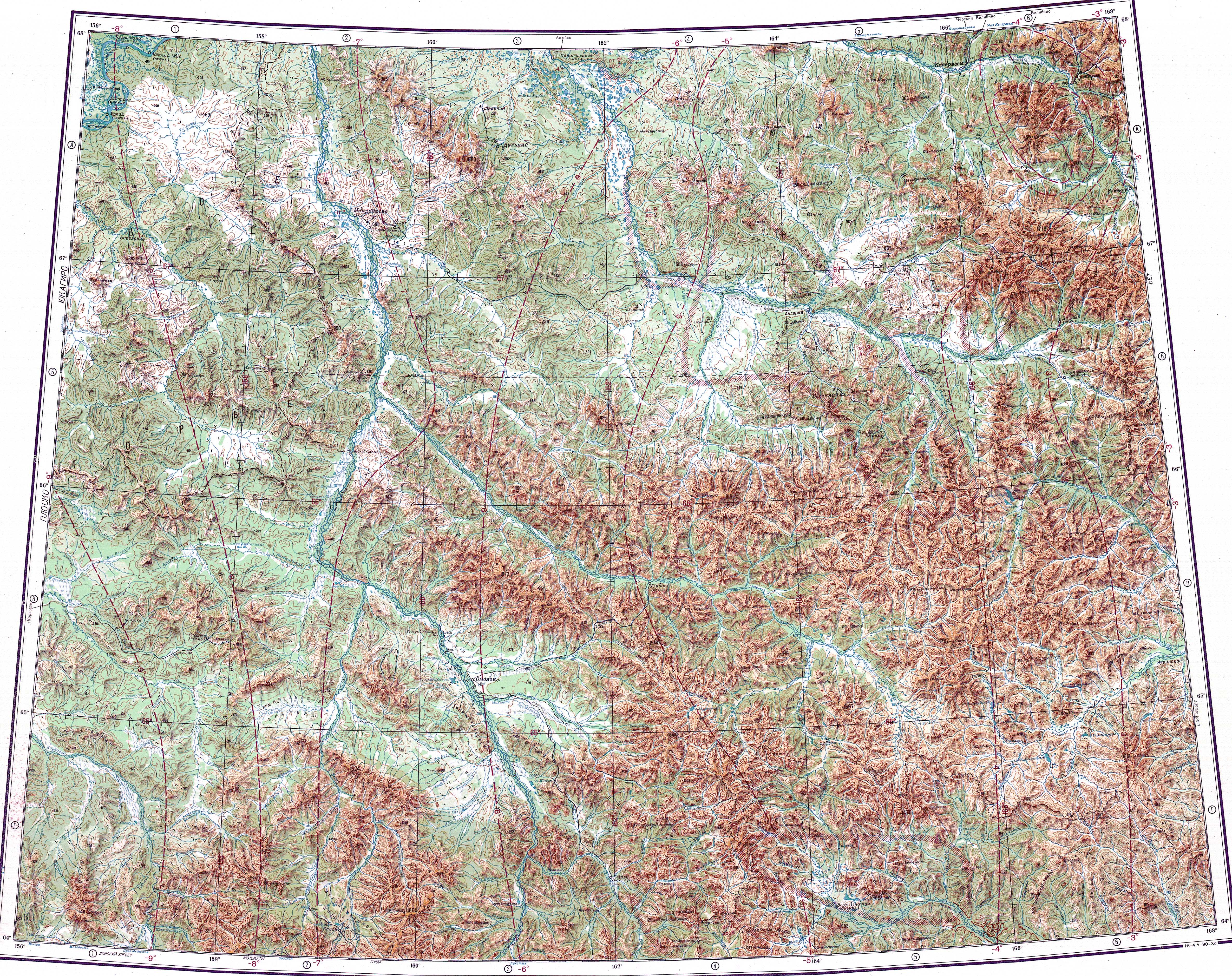
The source of the Yablon is in the northeastern slopes of 1,787 m (5,863 ft) high Mount Snezhnaya, in the eastern section of the Oloy Range, Kolyma Mountains. The Yablon flows first northeastwards, then makes a wide bend roughly midway through its course and flows southeastwards splitting into multiple smaller channels. Finally it joins the right bank of the Anadyr a little upstream from the mouth of the Yeropol. The Yablon meets the Anadyr 759 kilometres (472 mi) from its mouth.[1]
The river basin is in a desolate, mountainous area of Chukotka where there are no inhabited places. The main tributaries of the Yablon are the 78 kilometres (48 mi) long Krestovaya and 54 kilometres (34 mi) long Salamikha from the left, and the 88 kilometres (55 mi) long Golaya from the right.[2]
 |
See also
References
- ^ a b Google Earth
- ^ a b "Река Яблон in the State Water Register of Russia". textual.ru (in Russian).
- ^ Water of Russia - Анадырь
- ^ "Топографска карта Q-57_58 - Topographic USSR Chart (in Russian)". Retrieved 4 March 2022.
- ^ Магидович И. П., Магидович В. И. Очерки по истории географических открытий. — М., 1985. — Т. IV. — С. 100. — 335 с.
External links
- Populations of wild and feral reindeer in Siberia and Far East of Russia - Map of Right side of Anadyr River Basin (Yablon, Peledon and Mechkereva Rivers) calving grounds.
- Anadyr - Freshwater Ecoregions of the World
This Chukotka Autonomous Okrug location article is a stub. You can help Wikipedia by expanding it. |
This article related to a river in Russia is a stub. You can help Wikipedia by expanding it. |