
40°59′N 43°39′E / 40.983°N 43.650°E
Yerizak
Երիզակ | |
|---|---|
 Yerizak 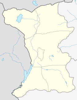 Yerizak | |
| Coordinates: 40°59′N 43°39′E / 40.983°N 43.650°E | |
| Country | Armenia |
| Province | Shirak |
| Municipality | Amasia |
| Time zone | UTC+4 |
Yerizak (Armenian: Երիզակ) is an abandoned village in the Amasia Municipality of the Shirak Province of Armenia. The village was populated by Azerbaijanis before the exodus of Azerbaijanis from Armenia after the outbreak of the Nagorno-Karabakh conflict.[1]
YouTube Encyclopedic
-
1/1Views:589
-
MultiActivity Armenia
Transcription
Demographics
| Year | Pop. | ±% p.a. |
|---|---|---|
| 1897 | 118 | — |
| 1926 | 307 | +3.35% |
| 1939 | 278 | −0.76% |
| 1959 | 219 | −1.19% |
| 1970 | 400 | +5.63% |
| 1980 | 471 | +1.65% |
| 1989 | 101 | −15.72% |
| Source: [2] | ||
References
- ^ Kiesling, Brady (June 2000). Rediscovering Armenia: An Archaeological/Touristic Gazetteer and Map Set for the Historical Monuments of Armenia (PDF). Archived (PDF) from the original on 6 November 2021.
- ^ Հայաստանի Հանրապետության բնակավայրերի բառարան [Republic of Armenia settlements dictionary] (PDF) (in Armenian). Yerevan: Cadastre Committee of the Republic of Armenia. 2008. Archived from the original (PDF) on 11 March 2018.
- Yerizak at GEOnet Names Server
- Report of the results of the 2001 Armenian Census, Statistical Committee of Armenia
Capital: Gyumri | ||
| Urban settlements |  | |
| Akhuryan Municipality | ||
| Amasia Municipality | ||
| Ani Municipality | ||
| Artik Municipality | ||
| Ashotsk Municipality | ||
This article about a location in Shirak Province, Armenia is a stub. You can help Wikipedia by expanding it. |