
Szeremle | |
|---|---|
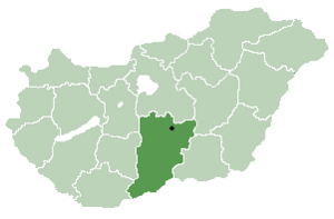
 Szeremle Location of Dunafalva | |
| Coordinates: 46°09′00″N 18°53′00″E / 46.1500°N 18.8833°E | |
| Country | |
| County | Bács-Kiskun |
| Area | |
| • Total | 34.64 km2 (13.37 sq mi) |
| Population (2015) | |
| • Total | 1,414[1] |
| • Density | 41.5/km2 (107/sq mi) |
| Time zone | UTC+1 (CET) |
| • Summer (DST) | UTC+2 (CEST) |
| Postal code | 6512 |
| Area code | 79 |

Szeremle (Croatian: Srimljan) is a village in Bács-Kiskun county, in the Southern Great Plain region of southern Hungary.
YouTube Encyclopedic
-
1/3Views:584328848
-
1920 - A old, little Village 'Szeremle' in Hungary
-
Borsoskalacs Festival Szeremle , Hungary
-
Borsos kalács Szeremle
Transcription
Geography
It covers an area of 34.64 km2 (13 sq mi) and has a population of 1414 people (2015).[1]
Demographics
References
- ^ a b Gazetteer of Hungary, 1 January 2015. Hungarian Central Statistical Office. 3 September 2015


46°09′N 18°53′E / 46.150°N 18.883°E
| International | |
|---|---|
| National | |
This Bács-Kiskun location article is a stub. You can help Wikipedia by expanding it. |