

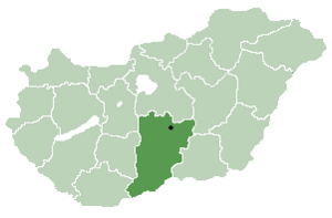
Bácsszőlős (Croatian: Prlković, also Perleković and Crvena šuma[1]) is a village and municipality in Bács-Kiskun county, in the Southern Great Plain region of southern Hungary.
YouTube Encyclopedic
-
1/1Views:365
-
Királyhalom (Bácsszőlős- Bački Vinogradi) Falunap Műsor 2013. 05. 18.
Transcription
Geography
It covers an area of 38.83 km2 (15 sq mi) and has a population of 412 people (2005). The village is located near the southern border, 8 km from Bácsalmás. Its soil is sandy, suitable for viticulture, and also consists of black soils, on which a few large entrepreneurs carry out agricultural cultivation. The beauty of the outskirts of the settlement is given by the extensive forests, which are also suitable for hunting and game management.[2]
Trivia
2006, this village won the county award for the best decorated village (with flowers).[3]
References
- ^ Živko Mandić: Hrvatska imena naseljenih mjesta u Mađarskoj, Folia onomastica croatica 14, 2005 (in Croatian)
- ^ "Bácsszőlős". www.bacsszolos.hu. Retrieved 2023-12-14.
- ^ "Hrvatski glasnik br. 40/2006" (PDF). Archived from the original (PDF) on 2007-06-06. (1.37 MB) Cvjetno naselje (in Croatian)
External links
- Bácsszőlős Önkormányzatának honlapja (in Hungarian)


46°09′N 19°27′E / 46.150°N 19.450°E
This Bács-Kiskun location article is a stub. You can help Wikipedia by expanding it. |