
| Stapylton Gold Coast, Queensland | |||||||||||||||
|---|---|---|---|---|---|---|---|---|---|---|---|---|---|---|---|
 Paddocks along Bruckner Road, 2014 | |||||||||||||||
 Stapylton | |||||||||||||||
 | |||||||||||||||
| Coordinates | 27°43′49″S 153°14′41″E / 27.7302°S 153.2447°E | ||||||||||||||
| Population | 444 (2016 census)[1] | ||||||||||||||
| • Density | 29.60/km2 (76.7/sq mi) | ||||||||||||||
| Postcode(s) | 4207 | ||||||||||||||
| Area | 15.0 km2 (5.8 sq mi) | ||||||||||||||
| Time zone | AEST (UTC+10:00) | ||||||||||||||
| Location |
| ||||||||||||||
| LGA(s) | City of Gold Coast | ||||||||||||||
| State electorate(s) | Coomera | ||||||||||||||
| Federal division(s) | Fadden | ||||||||||||||
| |||||||||||||||
Stapylton is a mixed-use locality in the City of Gold Coast, Queensland, Australia.[2] In the 2016 census, Stapylton had a population of 444 people.[1]
Geography

Stapylton is bounded to the west by the Albert River and the Pacific Motorway.[3]
Stapylton has the following mountains in the north of the locality:
- Mount Stapylton (Yellowwood Mountain) (27°43′03″S 153°14′23″E / 27.7176°S 153.2397°E) 152 metres (499 ft) above sea level[4][5]
- Quinns Hill (27°43′26″S 153°14′44″E / 27.7238°S 153.2456°E) 42 metres (138 ft) above sea level[4][6]
History
The area was named after surveyor Granville William Chetwynd Stapylton (1800–1840), who was killed by Aborigines on 31 May 1840, near Mount Lindesay.[2]
Stapylton State School opened on 18 May 1920. It closed in 1961.[7] The school was located on the south-eastern corner of Hester Drive and Stapylton Jacobs Well Road (approx 27°44′06″S 153°13′51″E / 27.7349°S 153.2309°E).[8]
The Yatala drive-in theatre was opened on 27 October 1974.[9]
Stapylton was once part of the Shire of Albert until its amalgamation in 1995.
Stapylton had a population of 445 at the 2011 census.[10]
In the 2016 census, Stapylton had a population of 444 people.[1]
Economy
Australia's first green waste to energy power plant was built at Stapylton.[11]
The suburb contains the Mount Stapylton Weather station, several quarries and the Stapylton Landfill and Recycling Centre. The radar tower is 30 m tall and was completed in 2006.[12]
Education
There are no schools in Staplyton. The nearest government primary school is Mount Warren Park State School in Mount Warren Park to the west. The nearest government secondary school is Beenleigh State High School in Beenleigh to the west and Ormeau Woods State High School in Ormeau to the south.[3]
Amenities

The Yatala drive-in theatre is at 100 Stapylton Jacobs Well Road (27°43′51″S 153°14′15″E / 27.7308°S 153.2376°E).[13] It contains two large screens and covers 10 acres (4.0 ha).[9]
Attractions
Supercars team Dick Johnson Racing is based in Stapylton.[14][15]
References
- ^ a b c Australian Bureau of Statistics (27 June 2017). "Stapylton (SSC)". 2016 Census QuickStats. Retrieved 20 October 2018.
- ^ a b "Stapylton – locality in City of Gold Coast (entry 46100)". Queensland Place Names. Queensland Government. Retrieved 27 December 2020.
- ^ a b "Queensland Globe". State of Queensland. Retrieved 14 March 2021.
- ^ a b "Mountain peaks and capes - Queensland". Queensland Open Data. Queensland Government. 12 November 2020. Archived from the original on 25 November 2020. Retrieved 25 November 2020.
- ^ "Mount Stapylton – mountain in Gold Coast City (entry 32214)". Queensland Place Names. Queensland Government. Retrieved 25 November 2020.
- ^ "Quinns Hill – mountain in Gold Coast City (entry 27843)". Queensland Place Names. Queensland Government. Retrieved 25 November 2020.
- ^ Queensland Family History Society (2010), Queensland schools past and present (Version 1.01 ed.), Queensland Family History Society, ISBN 978-1-921171-26-0
- ^ "Queensland Two Mile series sheet 2m40" (Map). Queensland Government. 1952. Archived from the original on 8 September 2022. Retrieved 14 March 2021.
- ^ a b "History". Yatala Drive-In Theatre. Archived from the original on 16 April 2014. Retrieved 15 April 2014.
- ^ Australian Bureau of Statistics (31 October 2012). "Stapylton (State Suburb)". 2011 Census QuickStats. Retrieved 19 February 2014.
- ^ "Green waste to energy sales". Reed Business Information. 26 March 2004. Archived from the original on 14 November 2010. Retrieved 18 February 2014.
- ^ Damien Larkins (15 November 2013). "Weather radar towers over south-east Queensland". ABC News. Australian Broadcasting Corporation. Archived from the original on 16 April 2014. Retrieved 15 April 2014.
- ^ "Yatala Drive-In, Five Star Cinemas - movie times & tickets". fivestarcinemas.com.au. Archived from the original on 20 August 2022. Retrieved 8 September 2022.
- ^ "Contact Details". DJR Team Penske. Archived from the original on 21 January 2017.
- ^ "Contact". Tekno Autosports. Archived from the original on 20 December 2016.
External links
- "Stapylton". Queensland Places. Centre for the Government of Queensland, University of Queensland.
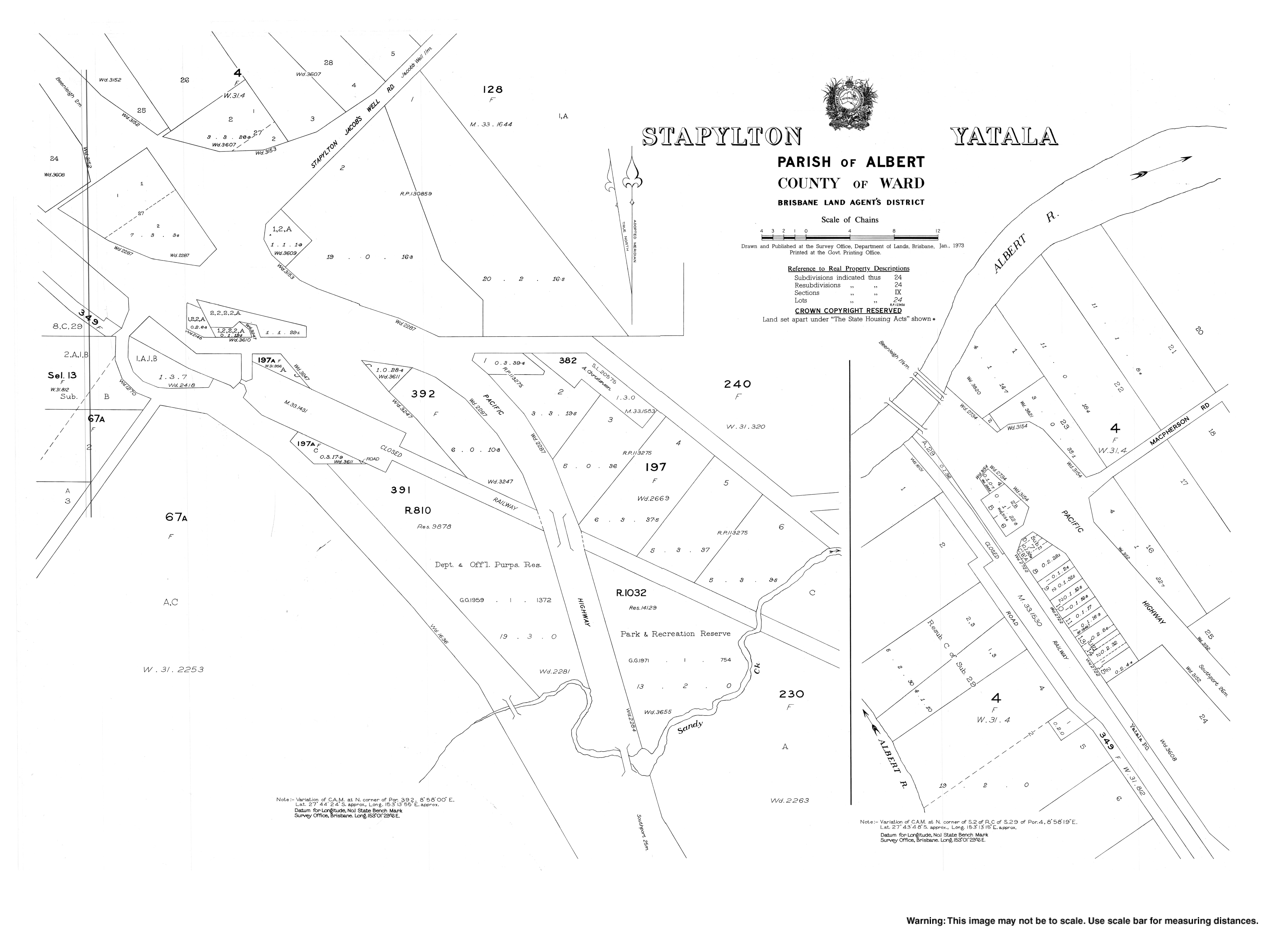
- "Stapyton, Yatala" (Map). Queensland Government. 1973.