
Dijkshoek
Dykshoeke (West Frisian) | |
|---|---|
 Dijkshoek Location in the province of Friesland in the Netherlands  Dijkshoek Dijkshoek (Netherlands) | |
| Coordinates: 53°15′41″N 5°32′47″E / 53.26129°N 5.54628°E | |
| Country | Netherlands |
| Province | Friesland |
| Municipality | Waadhoeke |
| Village | Firdgum |
| Elevation | 0.7 m (2.3 ft) |
| Population | |
| • Total | c. 15 |
| Time zone | UTC+1 (CET) |
| • Summer (DST) | UTC+2 (CEST) |
| Postcode | 8852 |
| Area code | 0518 |
Dijkshoek (Dutch pronunciation: [ˈdɛi̯ks.ɦuk]; West Frisian: Dykshoeke) is a hamlet in the Dutch municipality of Waadhoeke in the province of Friesland. It is located near the Wadden Sea north of Tzummarum and northwest of Firdgum, of which it is a part administratively. The settlement of the hamlet is located on the Camstrawei, consisting of mainly farms on the edge of the Hornestreek.
Dijkshoek is mainly known for its location. It is a crossroads and border point; southwest of Westhoek, east of Koehool (where a bunker complex stood during the Second World War) and west of the Griene Dyk.
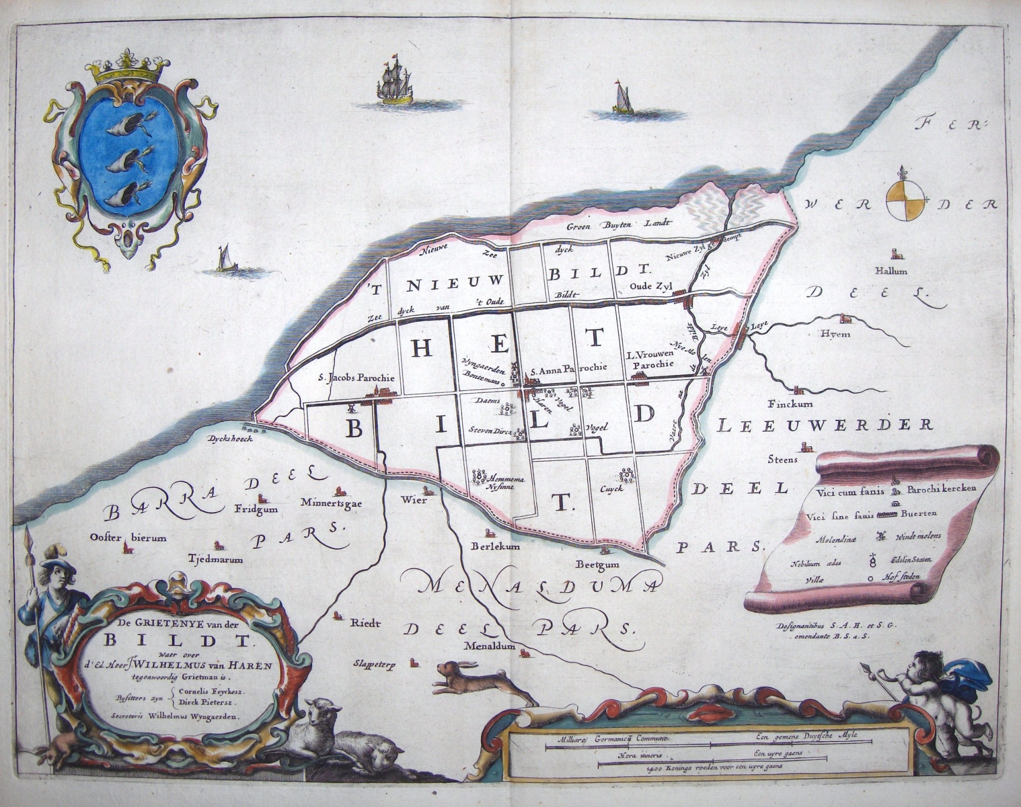
The hamlet was potentially first attested as Dijkshorn in 1287,[3] the year in which the region was completely destroyed by the St. Lucia's flood.[4] The hamlet later also appears as Dyckshoek in 1664,[5] Dijkshoek in 1840, and Dykshoek in 1841.[6] The name is a combination of dijk ('dyke') and hoek ('corner') as it is located on the corner of the Waddenzeedijk and the Griene Dyk.[6] There once was an inn located in the hamlet.[7][8]
The hamlet was part of the municipality of Barradeel until 1984, when it became part of Franekeradeel. In 2018, Franekeradeel became part of the current municipality of Waadhoeke.[2]
References
- ^ "Postcodetool for 8852RJ". Actueel Hoogtebestand Nederland (in Dutch). Het Waterschapshuis. Retrieved 9 October 2023.
- ^ a b "Dijkshoek". Plaatsengids (in Dutch). Retrieved 9 October 2023.
- ^ Van Berkel, Gerard; Samplonius, Kees (2018). Nederlandse plaatsnamen verklaard (in Dutch). Mijnbestseller.nl. ISBN 9789463679176.
- ^ "Verhaal Firdgum". Terpen en Wierden land (in Dutch). Retrieved 9 October 2023.
- ^ Schotanus, Bernardus (1664). "Friese grietenij landkaarten van Bernardus Schotanus 1664 / Friesland 'county' maps 1664 - Het Bildt". Schotanus.us. Retrieved 9 October 2023.
- ^ a b Gildemacher, Karel F. (2007). Friese plaatsnamen: alle steden, dorpen en gehuchten (in Dutch). Leeuwarden: Friese Pers/Noordboek. p. 254. ISBN 9789033006432.
- ^ Van der Aa, A.J. (1851). Aardrijkskundig Woordenboek der Nederlanden (in Dutch).
- ^ Leistra, W. "Buurtschap Dykshoek". Oud Tzummarum en Omstreken (in Dutch). Retrieved 9 October 2023.