
De Kampen | |
|---|---|
 De Kampen Location in the province of Friesland in the Netherlands  De Kampen De Kampen (Netherlands) | |
| Coordinates: 53°09′04″N 5°34′16″E / 53.15116°N 5.57105°E | |
| Country | Netherlands |
| Province | Friesland |
| Municipality | Waadhoeke |
| Village | Tzum |
| Elevation | 0.3 m (1.0 ft) |
| Time zone | UTC+1 (CET) |
| • Summer (DST) | UTC+2 (CEST) |
| Postcode | 8804 |
| Area code | 0517 |
De Kampen (Dutch pronunciation: [də ˈkɑm.pə(n)]) is a hamlet in the Dutch municipality of Waadhoeke in the province of Friesland.
It is located north of Fatum and southeast of Tzum, of which it is a part administratively. The settlement of the hamlet is located on the Wommelserweg, near the intersection with the Slotwei of the hamlet of Koum.
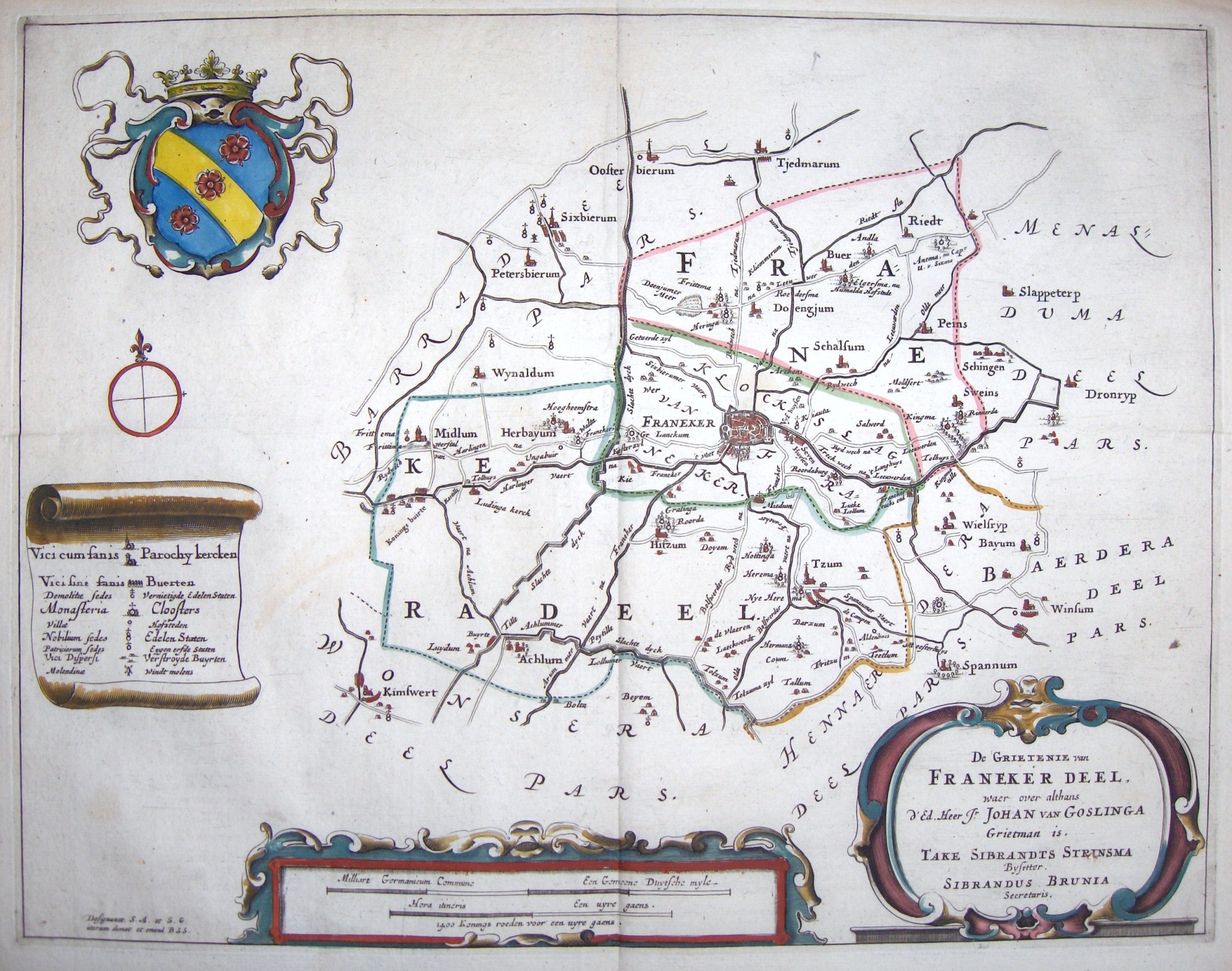
De Kampen is a hamlet located on a terp. In 1433 it was mentioned as Op dae Campen and in 1640 and 1664 as De Campen,[2] a name that would indicate pieces of land or fields that were separated.[3] It then consisted of one farm that bore this name, which is still the name of a distillery in the hamlet.[4] Three other farms were added in the 19th century.[5]
References
- ^ "Postcodetool for 8804NM". Actueel Hoogtebestand Nederland (in Dutch). Het Waterschapshuis. Retrieved 5 October 2023.
- ^ Schotanus, Bernardus (1664). "Friese grietenij landkaarten van Bernardus Schotanus 1664 / Friesland 'county' maps 1664 - FranekerDeel". Schotanus.us. Retrieved 5 October 2023.
- ^ Gildemacher, Karel F. (2007). Friese plaatsnamen: alle steden, dorpen en gehuchten (in Dutch). Leeuwarden: Friese Pers/Noordboek. ISBN 9789033006432.
- ^ "Distilleerderij De Campen". De Campen (in Dutch). Retrieved 5 October 2023.
- ^ Kreger, Henk (2006). Beeld van Oud Tzum, een beschrijving met illustraties en kaarten van het dorp Tzum vanaf halverwege de negentiende eeuw (in Dutch). Franeker: Kaldadel. p. 256.