
| Chestermere Lake | |
|---|---|
 in winter | |
 Chestermere Lake | |
| Location | Chestermere, Alberta |
| Coordinates | 51°02′20″N 113°49′07″W / 51.03889°N 113.81861°W |
| Type | reservoir |
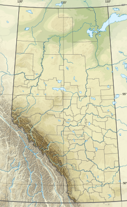
| Basin countries | Canada |
| Max. length | 5 km (3.1 mi) |
| Max. width | 0.7 km (0.43 mi) |
| Surface area | 2.65 km2 (1.02 sq mi) |
| Max. depth | 7 m (23 ft) |
| Surface elevation | 1,028 m (3,373 ft) |
Chestermere Lake is a man-made reservoir in Chestermere, Alberta, Canada.
It was built in the 1880s by the Canadian Pacific Railway, for irrigation of the area between Calgary and Strathmore. It is now used mainly for recreation purposes, such as swimming, windsurfing, fishing and skating (in winter). The City of Chestermere surrounds the lake on all sides. The Trans-Canada Highway follows the northeastern shore, while the railway tracks pass by the southern shore.
The lake covers a surface of 2.65 square kilometres (1.02 square miles) and has a maximum depth of 7 metres (23 feet).[1] It drains into two irrigation canals and is filled via a canal from the Bow River along Radisson Heights.
YouTube Encyclopedic
-
1/3Views:1 3291 436336
-
Dji Mavic Air 2 In 4K | Chestermere Lake Alberta (2020)
-
Chestermere, how Is the life In Alberta’a small lakeside city , Canada 🇨🇦.
-
Thinking Classroom in Mathematics at Chestermere Lake Middle School
Transcription
References
- ^ Atlas of Alberta Lakes Archived July 19, 2011, at the Wayback Machine - Chestermere Lake
| Rivers |  | |
|---|---|---|
| Waterfalls | ||
| Lakes | ||
| Reservoirs | ||
| Glaciers | ||
| Other | ||
This Calgary Metropolitan Region location article is a stub. You can help Wikipedia by expanding it. |