
Yohmor | |
|---|---|
Village | |
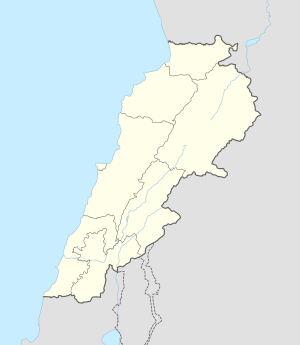 Yohmor Location in Lebanon | |
| Coordinates: 33°18′45″N 35°31′3″E / 33.31250°N 35.51750°E | |
| Grid position | 129/152 L |
| Country | |
| Governorate | Nabatieh Governorate |
Yohmor is a village in the Nabatieh Governorate of Lebanon. It is located about 8 km from the town of Nabatieh. Beaufort Castle is located nearby the village.
History
In the 1596 tax records, it was named as a village, Yuhmur, in the Ottoman nahiya (subdistrict) of Sagif under the liwa' (district) of Safad, with a population of 42 households and 5 bachelors, all Muslim. The villagers paid a fixed tax-rate of 25 % on agricultural products, such as wheat, barley, olive trees, goats and beehives, in addition to "occasional revenues" and a press for olive oil or grape syrup; a total of 4,800 akçe.[1][2]
The village has a population of about 2,000, although the population swells to a much higher number in the summer. The residents are Shia Muslims. Prime agricultural crops include olives and tobacco.
References
Bibliography
- Hütteroth, Wolf-Dieter; Abdulfattah, Kamal (1977). Historical Geography of Palestine, Transjordan and Southern Syria in the Late 16th Century. Erlanger Geographische Arbeiten, Sonderband 5. Erlangen, Germany: Vorstand der Fränkischen Geographischen Gesellschaft. ISBN 3-920405-41-2.
- Rhode, H. (1979). Administration and Population of the Sancak of Safed in the Sixteenth Century (PhD). Columbia University.
External links
- Yohmor (Nabatiyeh), Localiban
| Capital | 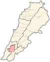 | |
|---|---|---|
| Towns and villages |
| |
| Other | ||