
| Kauylzhyr Қауылжыр | |
|---|---|
 Final stretch of river Kauylzhyr and its mouth in lake Shalkar in the winter Sentinel-2 image. | |
 Mouth location in Kazakhstan | |
| Location | |
| Countries | Kazakhstan |
| Physical characteristics | |
| Source | Mugalzhar |
| • coordinates | 48°33′11″N 58°36′01″E / 48.55306°N 58.60028°E |
| Mouth | Shalkar |
• coordinates | 47°51′02″N 59°32′16″E / 47.85056°N 59.53778°E |
| Length | 142 km (88 mi) |
| Basin size | 1,810 km2 (700 sq mi) |
The Kauylzhyr (Kazakh: Қауылжыр; Russian: Каульжур) is a river in Shalkar District, Aktobe Region, Kazakhstan. It is 142 kilometres (88 mi) long and has a catchment area of 1,810 square kilometres (700 sq mi).[1]
The river is part of the Shalkar Basin. It is fed mainly by snow. Its waters are used to water livestock.[1]
Course
The Kauylzhyr has its sources on the southeastern slopes of the Mugalzhar Hills. It heads roughly southeastwards most of its course. In its final stretch it bends southwards and enters lake Shalkar from the north.[2][3][1]
The width of the river channel is between 50 m (160 ft) and 150 m (490 ft). The main tributaries of the Kauylzhyr are the Alabassay, Karabulaksay, Sarysay and Koganzhar.[1]
See also
References
- ^ a b c d Nature of Kazakhstan Encyclopedia / General editor. B. O. Jacob. - Almaty: "Kazakh Encyclopedia" LLP, 2011. T.Z. - 304 pages. ISBN 9965-893-64-0 (T.Z.), ISBN 9965-893-19-5
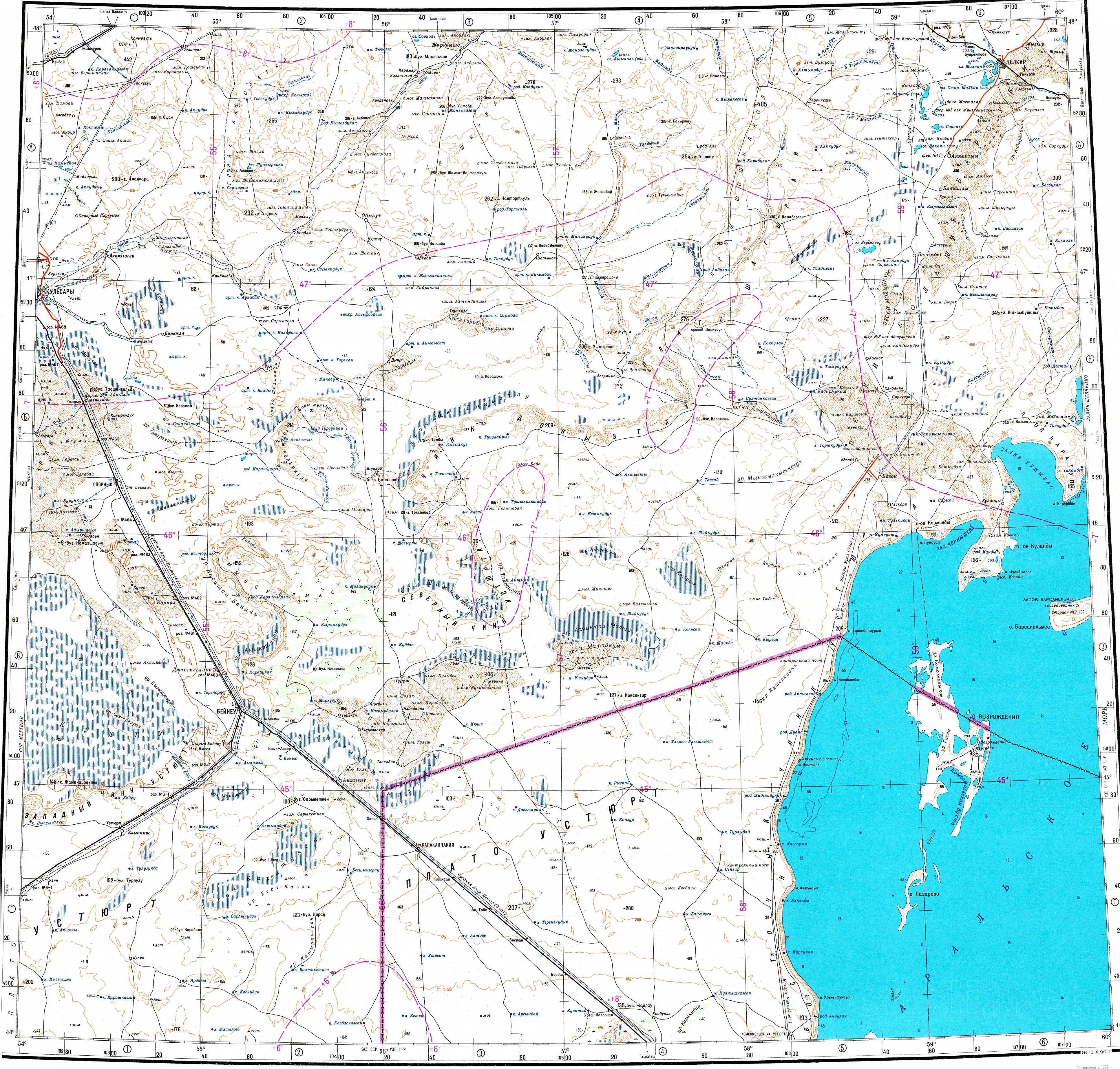
- ^ "L-40 Topographic Chart (in Russian)". Retrieved 9 January 2024.
- ^ Google Earth