
| Zhymyky Жымықы | |
|---|---|
 2016 ISS image with the Zhymyky flowing into lake Shubarteniz from the northeast | |
 Mouth location in Kazakhstan | |
| Location | |
| Country | Kazakhstan |
| Physical characteristics | |
| Source | Ulytau |
| • coordinates | 47°44′30″N 65°52′48″E / 47.74167°N 65.88000°E |
| • elevation | 449 m (1,473 ft) |
| Mouth | Shubarteniz |
• coordinates | 47°44′47″N 64°55′03″E / 47.74639°N 64.91750°E |
• elevation | 125 m (410 ft) |
| Length | 105 km (65 mi) |
| Basin size | 1,460 km2 (560 sq mi) |
The Zhymyky (Kazakh: Жымықы; Russian: Жимыкы) is a river in the Ulytau District, Karaganda Region, Kazakhstan.[1] It has a length of 105 km (65 mi) and a drainage basin of 1,460 km2 (560 sq mi).[2][3]
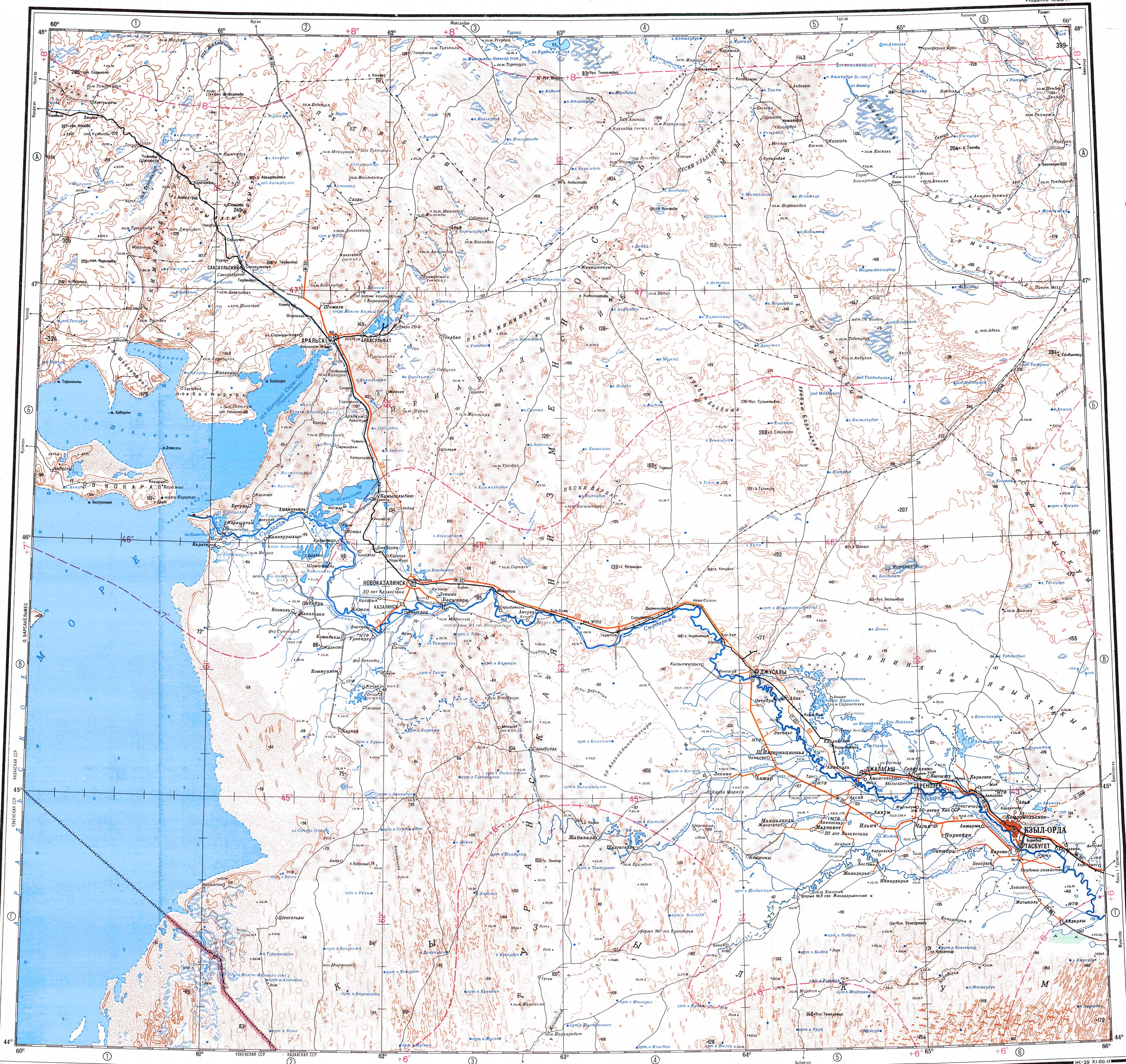
The river flows across the road that runs roughly from east to west between Koskol and Karsakpay.[1]
Course
The Zhymyky has its origin in the southwestern slopes of the Ulytau Range, to the west of the Lakbay wintering settlement. It heads roughly westwards and northwestwards within a deep, steep channel. In its final stretch the river bends and flows roughly southwestwards, bending southwards near the end and flowing into the northeastern shores of the Shubarteniz lake.[3][4]
The Zhymyky is fed by winter snows and during the yearly spring floods its water is fresh. The waters of the river are used for watering livestock.[2]
See also
References
- ^ a b "L-41 Topographic Chart (in Russian)". Retrieved 12 September 2022.
- ^ a b Kazakhstan National Encyclopedia / Ch. ed. B.O. Jakyp. — Almaty: « Kazakh encyclopedia» ZhSS, 2011. ISBN 9965-893-64-0(T.Z.),ISBN 9965-893-19-5
- ^ a b Google Earth
- ^ L-41-XII. пикет №11. Кулжамбай - Topographic Chart
External links
- Сердце Казахстана — Улытау (in Russian)
- Пресс-релиз — Аральское море (in Russian)
- Туристско-научная экспедиция - Казахстанская правда (in Russian)
- История Улытау (in Russian)