
Cové | |
|---|---|
 | |
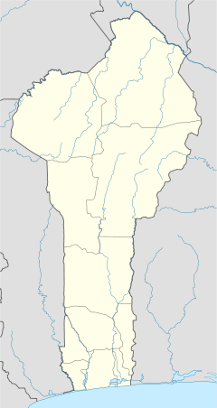 Cové Location in Benin | |
| Coordinates: 7°14′N 2°18′E / 7.233°N 2.300°E | |
| Country | |
| Department | Zou Department |
| Area | |
| • Total | 525 km2 (203 sq mi) |
| Population (2012)[1] | |
| • Total | 43,554 |
| • Density | 83/km2 (210/sq mi) |
| Time zone | UTC+1 (WAT) |
Cové is a city in the Zou Department of Benin. The commune covers an area of 525 square kilometres and as of 2012 had a population of 43,554 people.[2][3]
Geography
Cové is located 40 kilometres from Abomey and 159 kilometres from Cotonou. The commune covers an area of 525 square kilometres and the Zou Ouémé river passes through it. It is bounded to the north by Dassa-Zoumé, east by Zagnanado, south by Zogbodomey, and west by Djidja and Za-Kpota. It is linked to the capital by a paved road.[4] Cové became a sub-prefecture in 1991.
Administrative divisions

Cové is subdivided into 7 arrondissements; Adogbé, Gounli, Houin, Lainta, Naogon, Soli and Zogba. They contain 36 quartiers.[2]
Economy
The main ethnic groups are the Mahi, the Fon, Yoruba, Dendi and Bariba. The occupations of the inhabitants are agriculture, fishing and hunting (42%), trade and catering (30%), transport and communication (6%) crafts (11%) etc.[4] 53 600,00 hectares of land are devoted to agriculture, accounting for 93.38% of the total population.[2] The main crops grown are maize, cotton, peanuts, cassava and rice.[2]

Gelede Masked Festival gallery


References
- ^ "World Gazeteer". Archived from the original on 11 January 2013.
- ^ a b c d "Cove". Atlas Monographique des Communes du Benin. Archived from the original on 9 May 2021. Retrieved 5 January 2010.
- ^ "Communes of Benin". Statoids. Archived from the original on 24 March 2012. Retrieved 5 January 2010.
- ^ a b "Cove". www.cove.communedubenin.org. Archived from the original on 5 September 2013. Retrieved 8 January 2009.
7°14′N 2°18′E / 7.233°N 2.300°E

