
| San Juan-Laventille | ||
|---|---|---|
| Región | ||
 Vista de la región (Barataria)
| ||
 San Juan-Laventille Localización de San Juan-Laventille en Trinidad y Tobago | ||
 | ||
| Coordenadas | 10°39′00″N 61°29′00″O / 10.65, -61.483333 | |
| Capital | San Juan | |
| Entidad | Región | |
| • País |
| |
| • Isla | Trinidad | |
| Superficie | ||
| • Total | 898,94 km² | |
| Población (2011) | ||
| • Total | 157 258 hab. | |
| • Densidad | 174,94 hab./km² | |
San Juan-Laventille es una región de Trinidad y Tobago.[1][2]
Geografía
La región abarca parte de la isla Trinidad y limita al norte con el mar Caribe, al sur con el borough de Chaguanas,[3] al este con la región de Tunapuna-Piarco[4] y al oeste con la región de Diego Martín,[5] la ciudad de Puerto España[6] y el golfo de Paria.[7][8]
Organización territorial
Consta de cuarenta y una localidades:[7][1]
- Aranguez
- Bamboo Grove (parcial)
- Barataria
- Beetham Estate
- Bejucal (parcial)
- Blanchisseuse (parcial)
- Cantaro Village
- Cascade
- Champ Fleurs (parcial)
- Eastern Quarry
- El Socorro
- El Socorro Extension
- Febeau Village
- Gran Curucaye
- La Canoa
- La Pastora
- Lady Chancellor
- Las Cuevas
- Laventille
- Lower Santa Cruz
- Malick
- Maracas
- Maracas Bay
- Marie Road
- Mon Repos
- Morvant
- Mount d'Or
- Mt. Hope
- Mt. Lambert
- Never Dirty
- Petit Bourg
- Petit Curucaye
- Picton
- Romain Lands
- Sam Boucaud
- San Juan
- Santa Cruz
- Soconusco
- St. Anns
- St. Barbs
- Upper Belmont
Demografía
Datos demográficos de la región de San Juan-Laventille:[1]
| Gráfica de evolución demográfica de San Juan-Laventille entre 2000 y 2011 |
 |
Referencias
- ↑ a b c «TRINIDAD AND TOBAGO. Municipalities and Communities: The population of the cities, boroughs, regions, parishes and communities of Trinidad and Tobago by census years.». Citypopulation.de (en inglés). 18 de mayo de 2020. Consultado el 21 de septiembre de 2023.
- ↑ «Population Statistics: Demographic Profiles of Municipalities and Communities.». CENTRAL STATISTICAL OFFICE. Ministry of Planning and Development (cso.gov.tt) (en inglés). 2023. Consultado el 21 de septiembre de 2023.
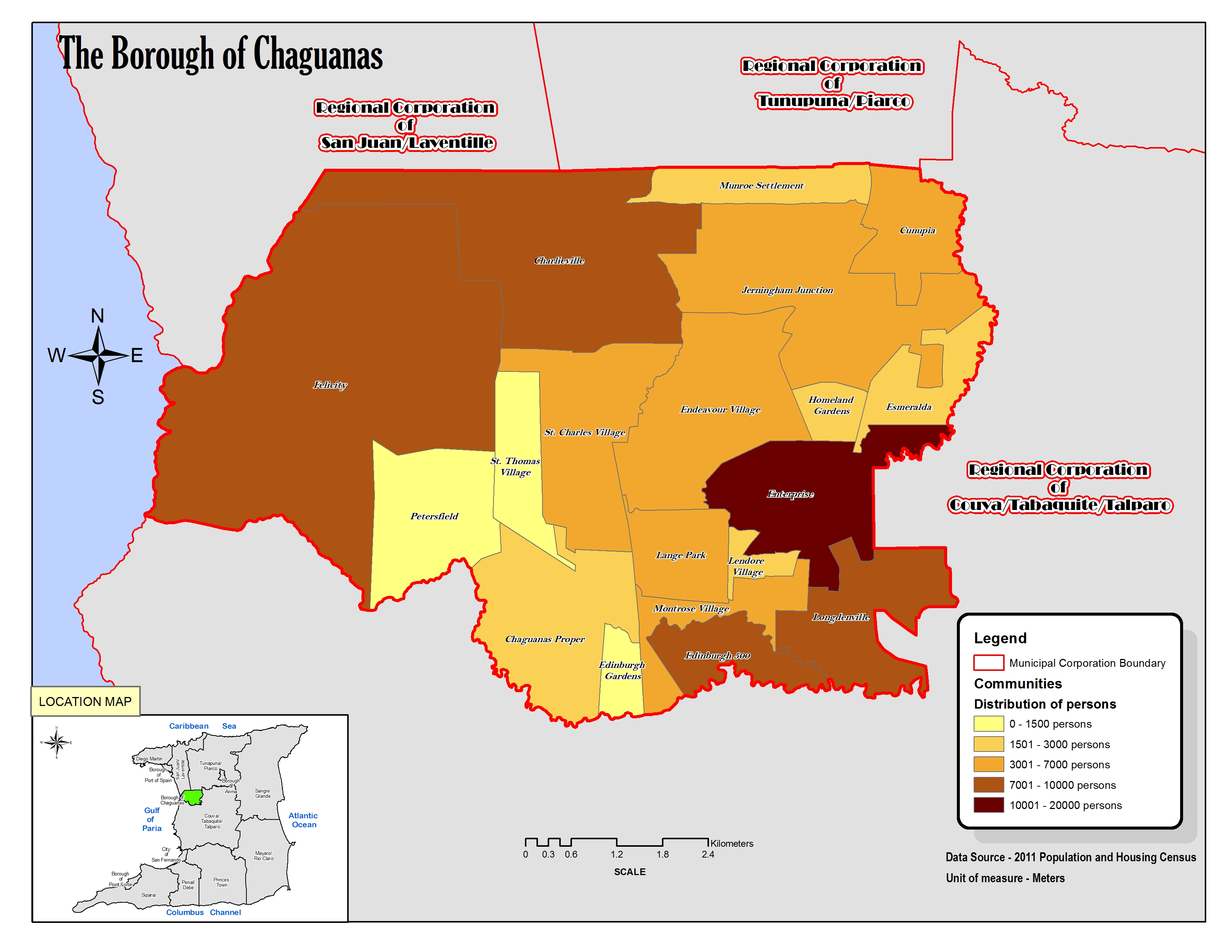
- ↑ «The Borough of Chaguanas. Location map.». cso.gov.tt (en inglés). 2011. Consultado el 21 de septiembre de 2023.
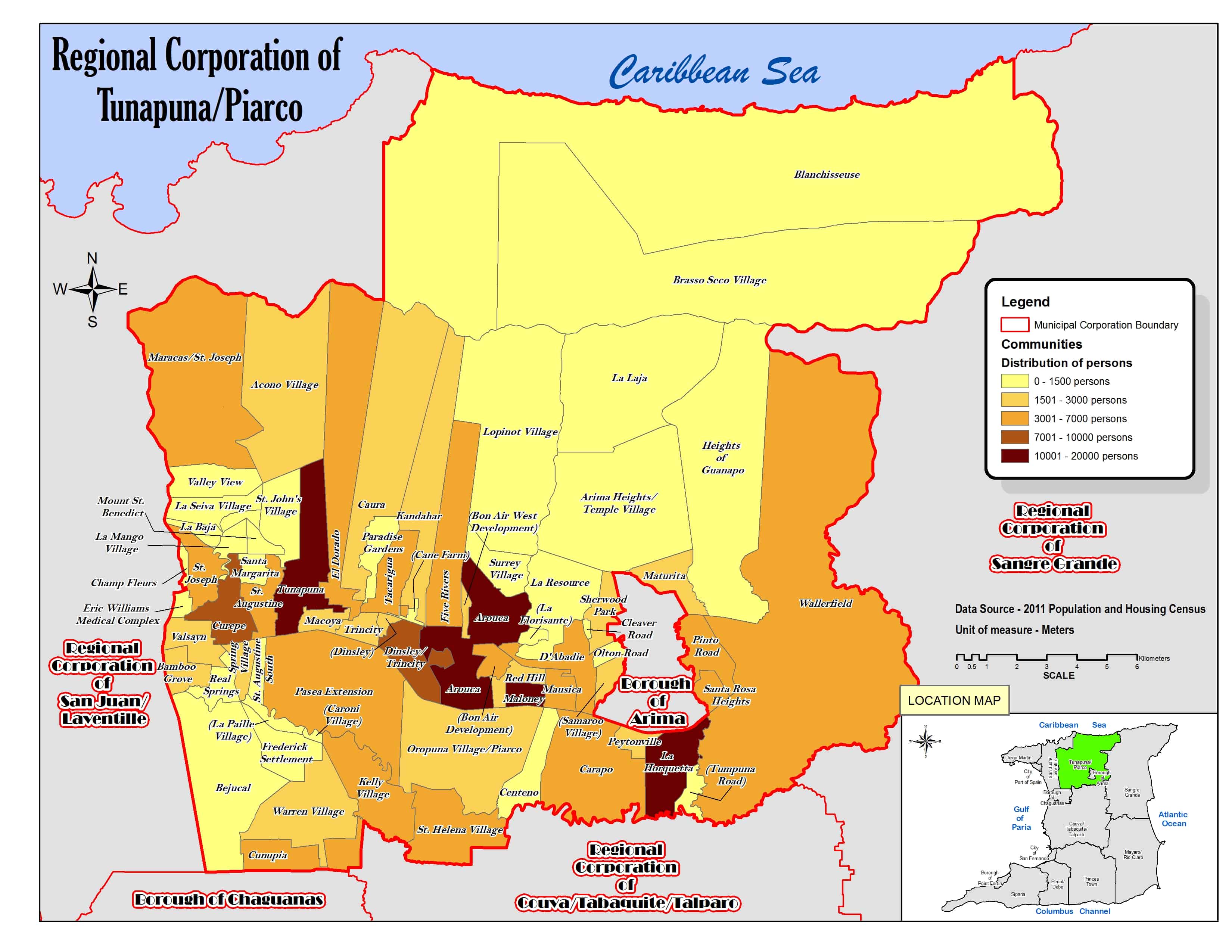
- ↑ «Regional Corporation of Tunapuna/Piarco. Location map.». cso.gov.tt (en inglés). 2011. Consultado el 21 de septiembre de 2023.
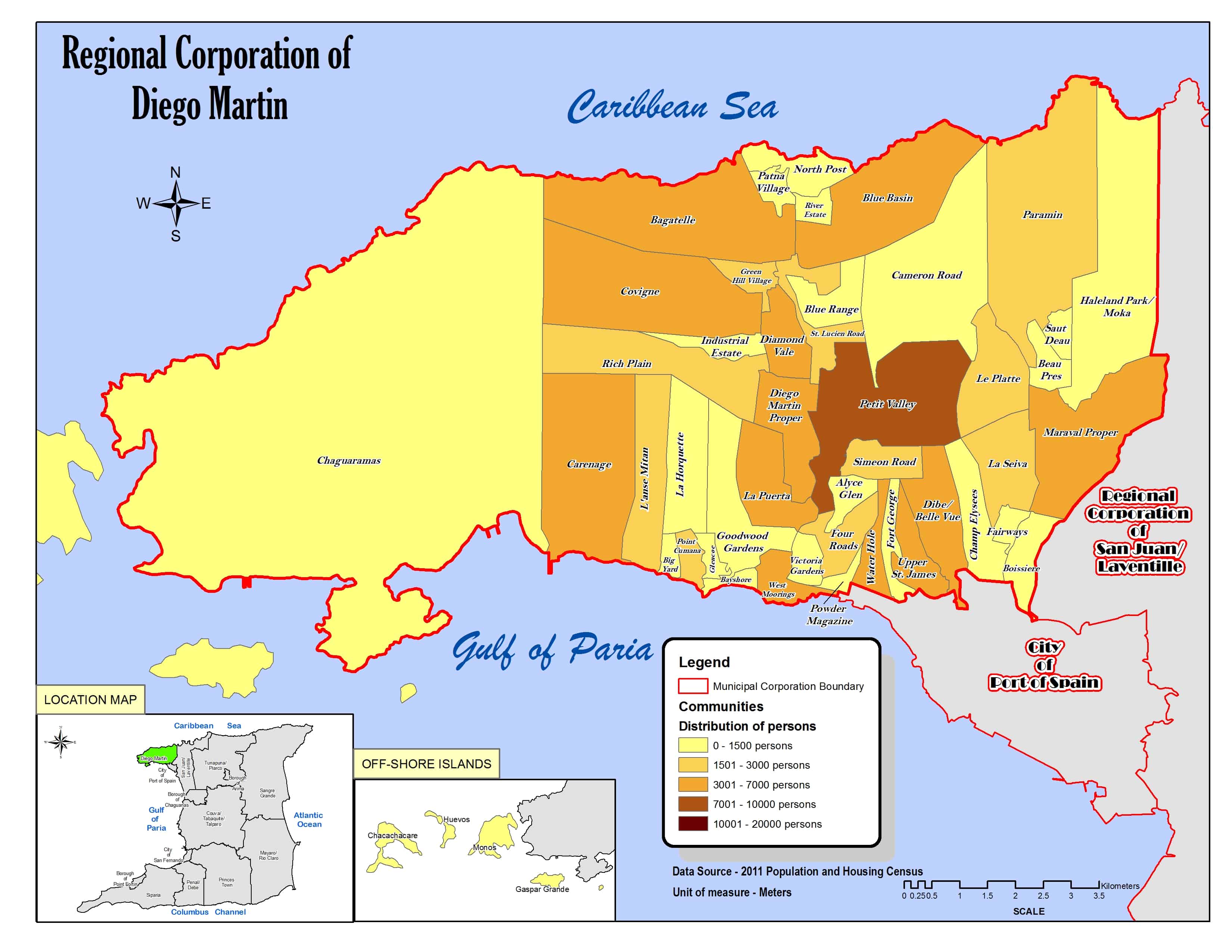
- ↑ «Regional Corporation of Diego Martin. Location map.». cso.gov.tt (en inglés). 2011. Consultado el 21 de septiembre de 2023.
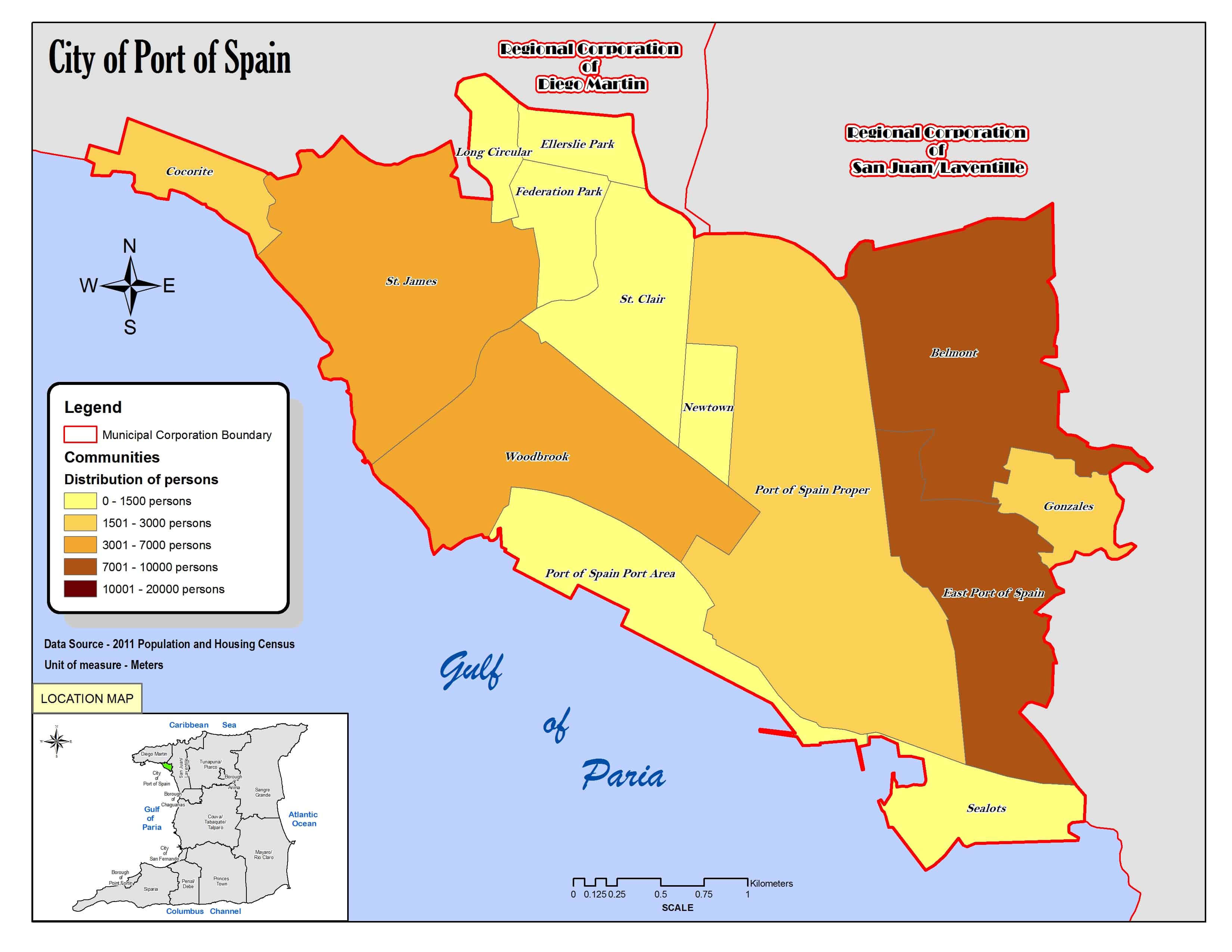
- ↑ «City of Port of Spain. Location map.». cso.gov.tt (en inglés). 2011. Consultado el 21 de septiembre de 2023.
- ↑ a b «Regional Corporation of Mayaro/Rio Claro. Location map.». cso.gov.tt (en inglés). 2011. Consultado el 9 de septiembre de 2023.
- ↑ «The Borough of Chaguanas. Location map.». cso.gov.tt (en inglés). 2011. Consultado el 21 de septiembre de 2023.
Enlaces externos
 Wikimedia Commons alberga una categoría multimedia sobre Región corporativa de San Juan-Laventille.
 Datos: Q979608
- Multimedia: San Juan-Laventille / Q979608