
| Couva-Tabaquite-Talparo | ||
|---|---|---|
| Región | ||
 Couva-Tabaquite-Talparo Localización de Couva-Tabaquite-Talparo en Trinidad y Tobago | ||
 | ||
| Coordenadas | 10°25′00″N 61°27′00″O / 10.416667, -61.45 | |
| Capital | Couva Central | |
| Entidad | Región | |
| • País |
| |
| • Isla | Trinidad | |
| Población (2011) | ||
| • Total | 178 410 hab. | |
| Sitio web oficial | ||
Couva-Tabaquite-Talparo es una región de Trinidad y Tobago.[1][2]
Geografía
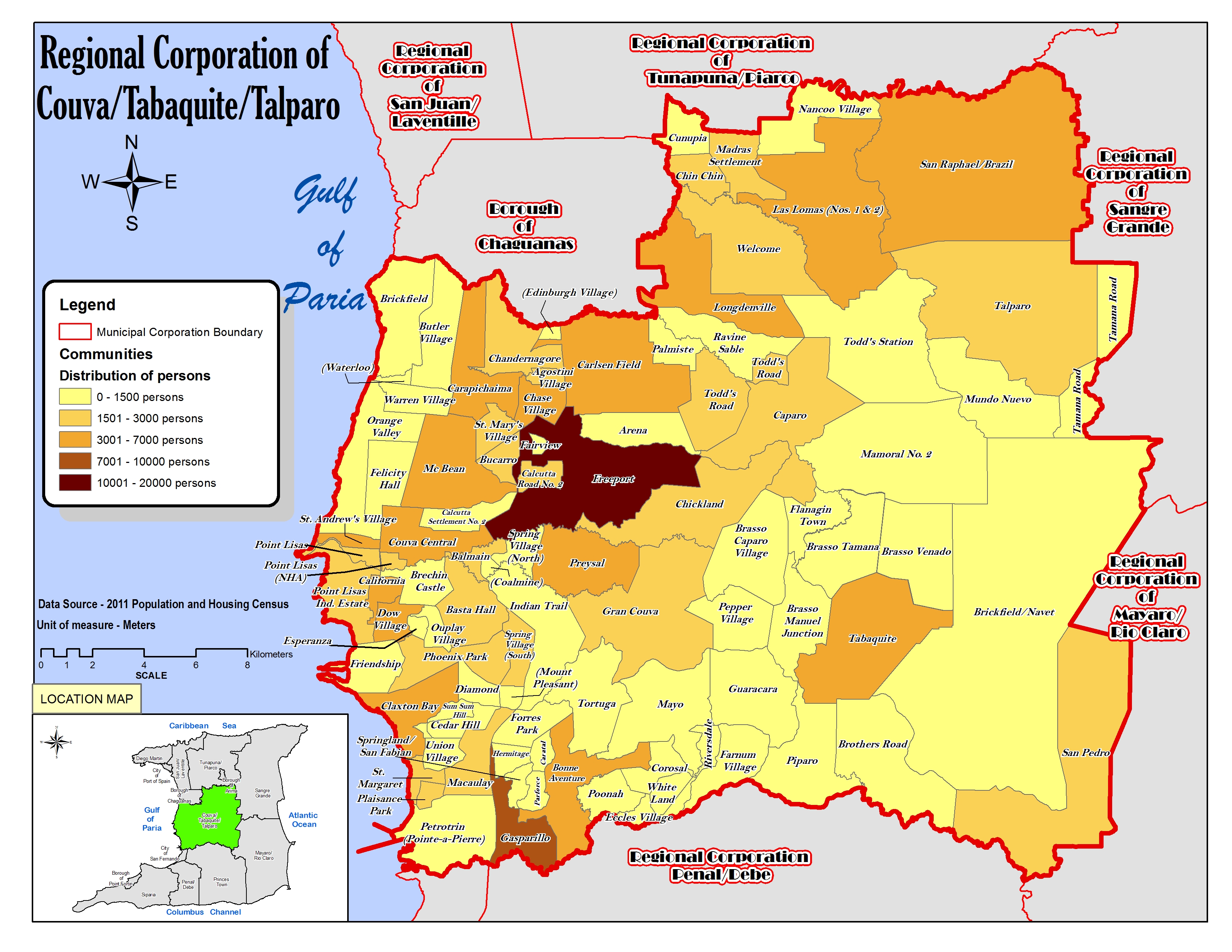
La región abarca parte de la isla Trinidad y limita al norte con borough de Chaguanas,[3] al sur con la ciudad de San Fernando[4] y la región de Princes Town,[5] al este con las regiones de Sangre Grande[6] y Mayaro-Rio Claro,[7] y al oeste con el golfo de Paria.[8]
Organización territorial
Consta de 94 localidades:[8][1]
- Agostini Village
- Arena
- Balmain
- Basta Hall
- Bonne Aventure
- Brasso Caparo Village
- Brasso Manuel Junction
- Brasso Tamana
- Brasso Venado
- Brechin Castle
- Brickfield
- Brickfield-Navet
- Brothers Road
- Buccarro
- Butler Village
- Calcutta Road No. 2
- Calcutta Settlement No. 2
- California
- Caparo
- Carapichaima
- Caratal
- Carlsen Field
- Cedar Hill
- Chandernagore
- Chase Village
- Chickland
- Chin Chin
- Claxton Bay
- Coal Mine
- Corosal
- Couva Central
- Cunupia (parcial)
- Diamond
- Dow Village
- Eccles Village (parcial)
- Edinburgh Village
- Esperanza
- Fairview
- Farnum Village
- Felicity Hall
- Flanagin Town
- Forres Park
- Freeport
- Friendship
- Gasparillo
- Gran Couva
- Guaracara
- Hermitage
- Indian Trail
- Las Lomas (Nos. 1 & 2)
- Longdenville (parcial)
- Macaulay
- Madras Settlement
- Mamoral No. 2
- Mayo
- Mc Bean
- Mount Pleasant
- Mundo Nuevo
- Nancoo Village
- Orange Valley
- Ouplay Village
- Palmiste
- Parforce
- Pepper Village
- Phoenix Park
- Piparo (parcial)
- Plaisance Park
- Pointe-à-Pierre
- Point Lisas
- Poonah
- Preysal
- Ravine Sable
- Riversdale
- San Pedro (parcial)
- San Raphael-Brazil
- Spring Village North
- Spring Village South
- Springland-San Fabian
- St. Andrew's Village
- St. Margaret
- St. Mary's Village
- Sum Sum Hill
- Tabaquite
- Talparo
- Tamana Road
- Todd's Road
- Todd's Station
- Tortuga
- Union Village
- Warren Village
- Waterloo
- Welcome
- White Land
Demografía
Datos demográficos de la región de Couva-Tabaquite-Talparo:[1]
| Gráfica de evolución demográfica de Couva-Tabaquite-Talparo entre 2000 y 2011 |
 |
Referencias
- ↑ a b c «TRINIDAD AND TOBAGO. Municipalities and Communities: The population of the cities, boroughs, regions, parishes and communities of Trinidad and Tobago by census years.». Citypopulation.de (en inglés). 18 de mayo de 2020. Consultado el 17 de julio de 2023.
- ↑ «Population Statistics: Demographic Profiles of Municipalities and Communities.». CENTRAL STATISTICAL OFFICE. Ministry of Planning and Development (cso.gov.tt) (en inglés). 2023. Consultado el 8 de julio de 2023.
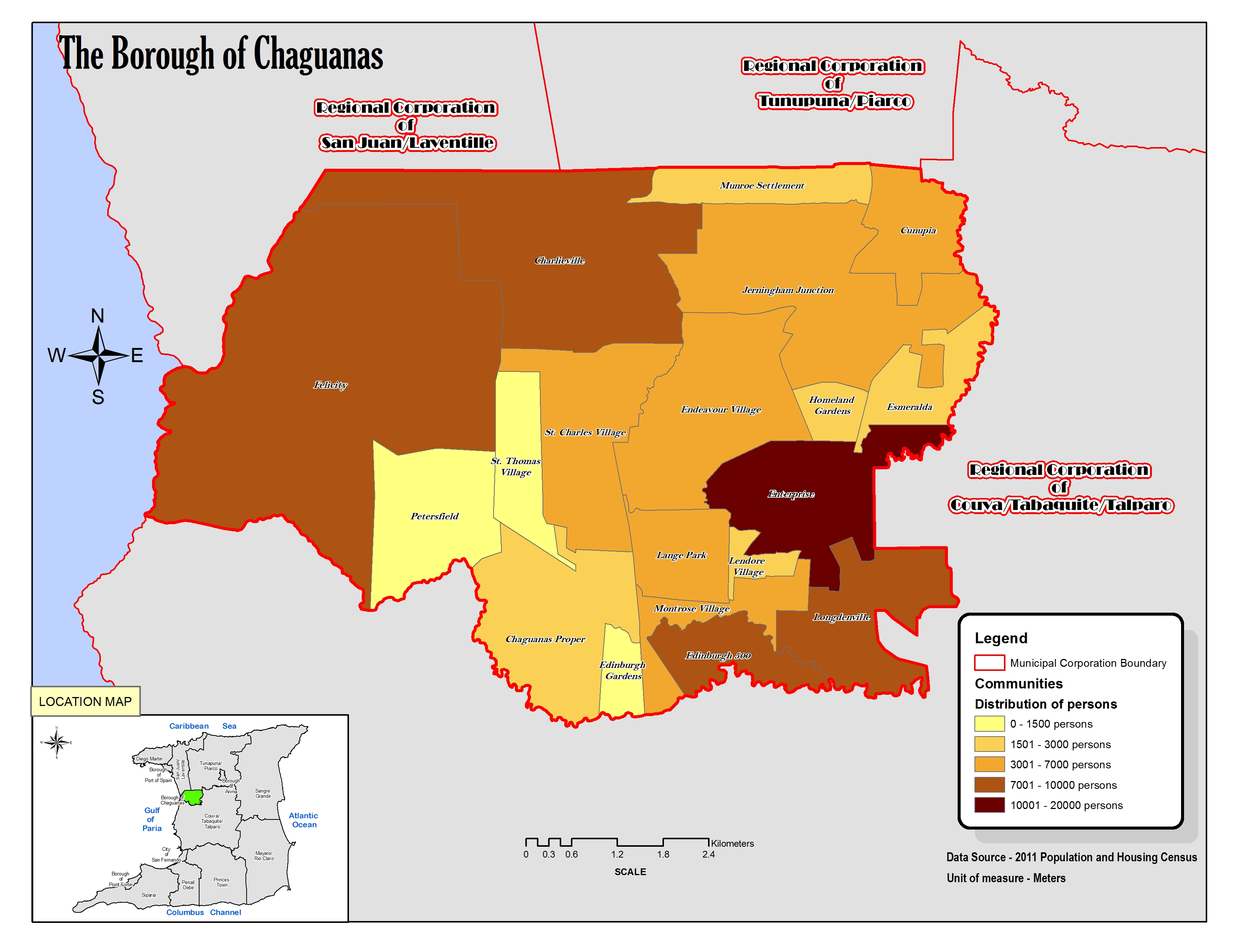
- ↑ «The Borough of Chaguanas. Location map.». cso.gov.tt (en inglés). 2011. Consultado el 20 de agosto de 2023.
- ↑ «City of San Fernando. Location map.». cso.gov.tt (en inglés). 2011. Consultado el 22 de agosto de 2023.
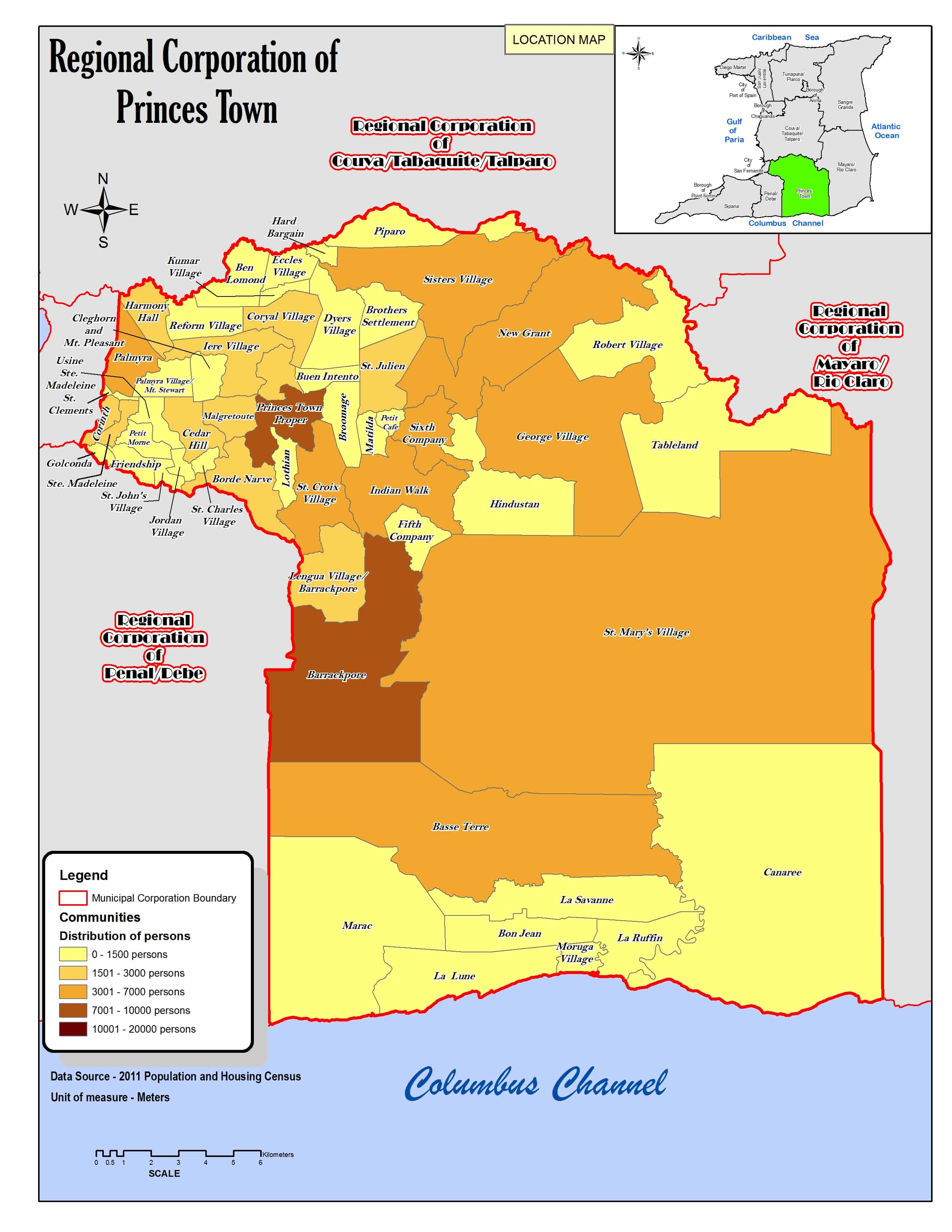
- ↑ «Regional Corporation of Princes Town. Location map.». cso.gov.tt (en inglés). 2011. Consultado el 20 de agosto de 2023.
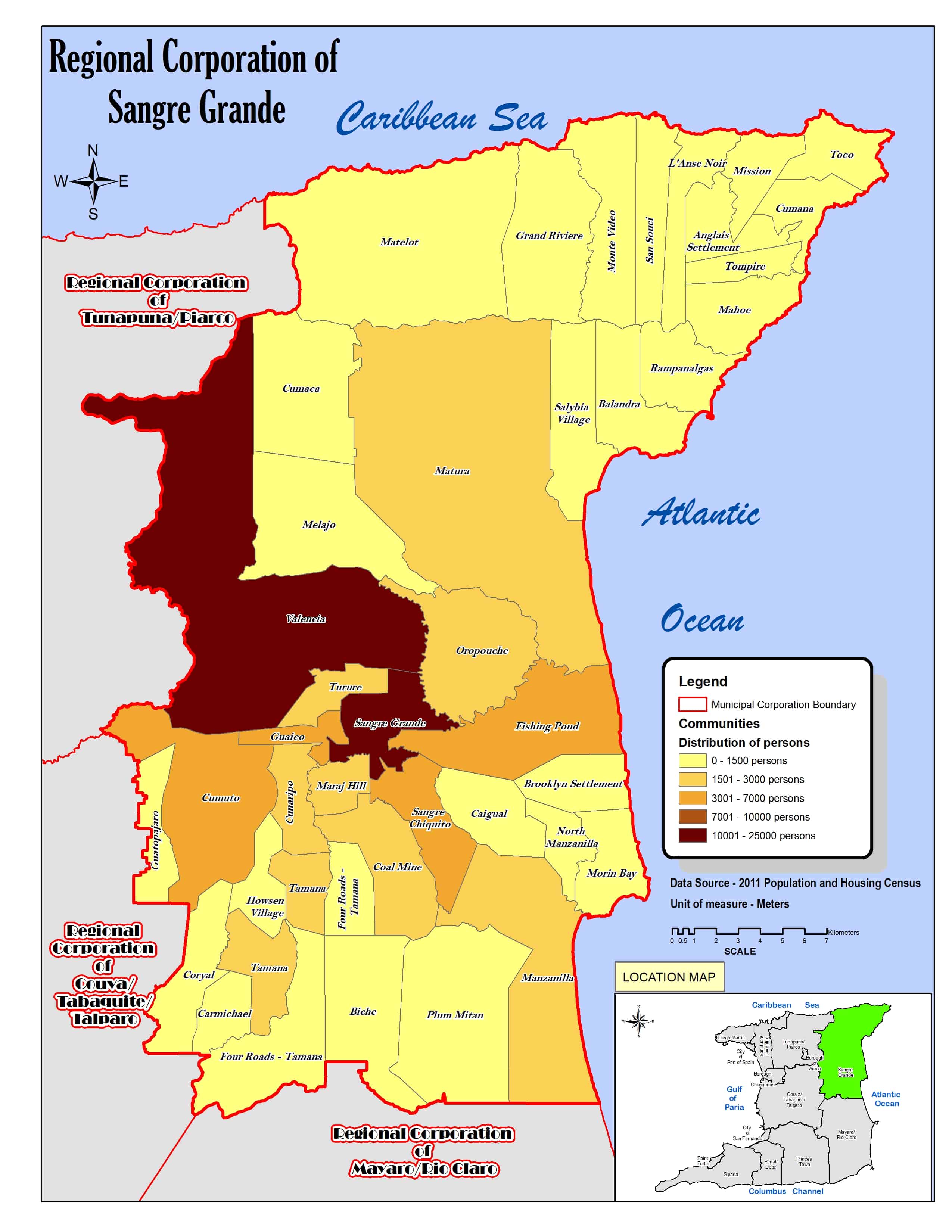
- ↑ «Regional Corporation of Sangre Grande. Location map.». cso.gov.tt (en inglés). 2011. Consultado el 20 de agosto de 2023.
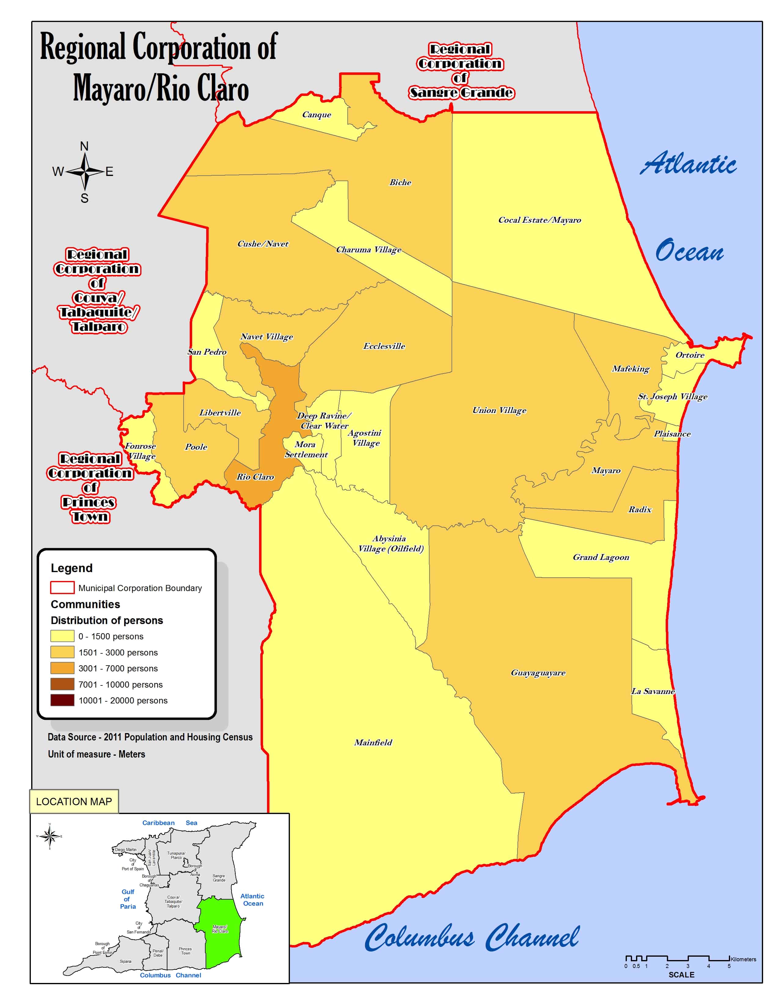
- ↑ «Regional Corporation of Mayaro/Rio Claro. Location map.». cso.gov.tt (en inglés). 2011. Consultado el 20 de agosto de 2023.
- ↑ a b «Regional Corporation of Couva/Tabaquite/Talparo. Location map.». cso.gov.tt (en inglés). 2011. Consultado el 19 de agosto de 2023.
Enlaces externos
 Wikimedia Commons alberga una categoría multimedia sobre Región corporativa de Couva-Tabaquite-Talparo.
| Control de autoridades |
|
|---|
 Datos: Q2679127
- Multimedia: Couva-Tabaquite-Talparo Regional Corporation / Q2679127