To install click the Add extension button. That's it.

The source code for the WIKI 2 extension is being checked by specialists of the Mozilla Foundation, Google, and Apple. You could also do it yourself at any point in time.

4,5
Kelly Slayton
Congratulations on this excellent venture… what a great idea!
Alexander Grigorievskiy
I use WIKI 2 every day and almost forgot how the original Wikipedia looks like.
Live Statistics
Spanish Articles
Improved in 24 Hours
Added in 24 Hours
Languages
Recent
Show all languages
What we do. Every page goes through several hundred of perfecting techniques; in live mode. Quite the same Wikipedia. Just better.
.
Leo
Newton
Brights
Milds

De Wikipedia, la enciclopedia libre

Purupuruni
Localización geográfica
Cordillera Andes
Sierra Cordillera del Barroso
Coordenadas 17°18′33″S 69°54′53″O / -17.30916667, -69.91472222
Localización administrativa
País Perú Perú
División Departamento de Tacna
Características generales
Altitud 5310 m s. n. m.
Mapa de localización
Purupuruni ubicada en Perú físico
Purupuruni
Purupuruni
Purupuruni ubicada en Departamento de Tacna
Purupuruni
Purupuruni

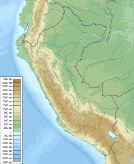
Purupuruni es un conjunto de domos de lava en el sur de Perú, a una altitud de 5315 m s. n. m.. Está situado en la distrito de Ticaco, provincia de Tarata, región de Tacna. Purupuruni se encuentra al sureste de Pisacani.[1][2]

Referencias

Esta página se editó por última vez el 22 jun 2024 a las 20:35.
Basis of this page is in Wikipedia. Text is available under the CC BY-SA 3.0 Unported License. Non-text media are available under their specified licenses. Wikipedia® is a registered trademark of the Wikimedia Foundation, Inc. WIKI 2 is an independent company and has no affiliation with Wikimedia Foundation.