
| Jura Francón | ||
|---|---|---|
 Valle cerca de Oberleinleiter | ||
| Ubicación geográfica | ||
| Cordillera | Jura | |
| Coordenadas | 49°01′N 10°46′E / 49.02, 10.76 | |
| Ubicación administrativa | ||
| País | Alemania | |
| División | Baviera | |
| Características | ||
| Cota máxima | 546 m | |
| Geología | ||
| Periodo | Jurásico | |
| Tipos de roca | caliza | |
| Mapa de localización | ||
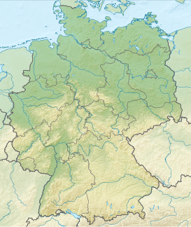 Jura Francón Ubicación en Alemania | ||
 | ||
El Jura Francón o Jura de Franconia (en alemán: Fränkische Alb, Fränkischer Jura, Frankenalb) es parte de la cordillera del Jura, una cordillera de media altura que se extiende desde el río Meno hasta el río Danubio. En el sur, el Ries de Nördlingen se extiende hasta Ratisbona.
El punto más elevado es el monte "Hesselberg".
Véase también
 Datos: Q669883
 Multimedia: Fränkische Alb / Q669883