
Pindari Khurd | |
|---|---|
Village | |
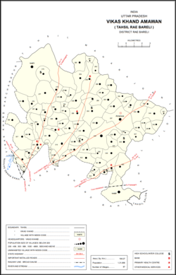 Map showing Pindari Khurd (#323) in Amawan CD block | |
 Pindari Khurd Location in Uttar Pradesh, India | |
| Coordinates: 26°18′16″N 81°19′18″E / 26.304389°N 81.321647°E[1] | |
| Country India | |
| State | Uttar Pradesh |
| District | Raebareli |
| Area | |
| • Total | 2.194 km2 (0.847 sq mi) |
| Population (2011)[2] | |
| • Total | 1,615 |
| • Density | 740/km2 (1,900/sq mi) |
| Languages | |
| • Official | Hindi |
| Time zone | UTC+5:30 (IST) |
| Vehicle registration | UP-35 |
Pindari Khurd is a village in Amawan block of Rae Bareli district, Uttar Pradesh, India.[2] It is located 9 km from Raebareli, the district headquarters.[3] As of 2011, its population is 1,615, in 300 households.[2] It has one primary school and no healthcare facilities.[2]
The 1961 census recorded Pindari Khurd as comprising 5 hamlets, with a total population of 697 people (347 male and 350 female), in 159 households and 147 physical houses.[4] The area of the village was given as 544 acres.[4]
The 1981 census recorded Pindari Khurd (as "Pendari Khurd") as having a population of 843 people, in 164 households, and having an area of 220.56 hectares.[3] The main staple foods were listed as wheat and rice.[3]
References
- ^ "Geonames Search". Search for "Pindari Khurd" here.
- ^ a b c d e "Census of India 2011: Uttar Pradesh District Census Handbook - Rae Bareli, Part A (Village and Town Directory)" (PDF). Census 2011 India. pp. 185–201. Retrieved 6 August 2021.
- ^ a b c Census 1981 Uttar Pradesh: District Census Handbook Part XIII-A: Village & Town Directory, District Rae Bareli (PDF). 1982. pp. 88–9. Retrieved 5 August 2021.
- ^ a b Census 1961: District Census Handbook, Uttar Pradesh (39 - Raebareli District) (PDF). Lucknow. 1965. pp. xliv-xlv of section "Rae Bareli Tahsil". Retrieved 6 August 2021.
{{cite book}}: CS1 maint: location missing publisher (link)
This Raebareli district location article is a stub. You can help Wikipedia by expanding it. |