
Meenar-2 Dam is a concrete, gravity type of dam constructed across the Meenar river which is a tributary of Pamba river in Seethathodu village of Pathanamthitta district in Kerala, India. This dam is constructed as a part of Sabaigiri Augmentation Scheme.[1]
| Meenar-2 Dam | |
|---|---|
 Meenar-2 Dam | |
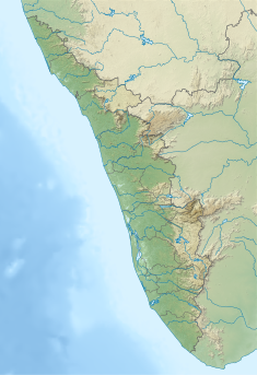 Location of Meenar-2 Dam in Kerala | |
| Country | India |
| Location | Pathanamthitta, Kerala |
| Coordinates | 9°24′36″N 77°10′43″E / 9.41000°N 77.17861°E |
| Purpose | Power generation |
| Status | Operational |
| Opening date | 1991 |
| Owner(s) | Kerala State Electricity Board |
| Dam and spillways | |
| Type of dam | Concrete-Gravity |
| Impounds | Meenar river |
| Height (foundation) | 17.07 m (56 ft) |
| Length | 82 m (269 ft) |
| Spillway type | Ungated-overflow section |
| Power Station | |
| Installed capacity | 340 MW |
| Website https://dams.kseb.in | |
Sabarigiri Hydro Electric Project ( 340 MW) is the second largest hydro electric project of Kerala and is located in Pathanamthitta district. The reservoir receives water from Meenar-I reservoir and its own catchment. Water from this reservoir is diverted to Pamba dam through an open channel. Taluks through which release flow are Ranni, Konni, Kozhencherry, Thiruvalla, Chengannur, Kuttanadu, Mavelikara and Karthikappally.[2]
Specifications
- Panchayath : Seethathodu
- Classification : MH (Medium Height)
- River Basin : Pamba
- Release from Dam to river : Pamba
- Name of Project : Sabarigiri HEP
- Maximum Water Level (MWL) : EL 1043.5 m
- Full Reservoir Level ( FRL) : EL 1041.5 m
- Storage at FRL : 0.06 Mm3
- Crest Level : EL 1041.5 m
- River Outlet : 1 No., Circular type, 60 cm diameter.
References
- ^ "Kerala State Electricity Board Limited - Kerala State Electricity Board Limited". www.kseb.in. Retrieved 2021-07-28.
- ^ "Diversion Structures in Pathanamthitta district – KSEB Limited Dam Safety Organisation". Retrieved 2021-07-28.
 This article incorporates text available under the CC BY-SA 2.5 license.