
| Meenar-1 Dam | |
|---|---|
 | |
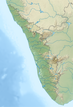 Location of Meenar-1 Dam in Kerala | |
| Country | India |
| Location | Pathanamthitta, Kerala |
| Coordinates | 9°24′59″N 77°10′33″E / 9.4164°N 77.1758°E |
| Purpose | Power generation |
| Status | Operational |
| Opening date | 1991 |
| Owner(s) | Kerala State Electricity Board |
| Dam and spillways | |
| Type of dam | Concrete-Gravity |
| Impounds | Meenar river |
| Height (foundation) | 17.20 m (56 ft) |
| Length | 36.75 m (121 ft) |
| Spillway type | Ungated- overflow section |
| Power Station | |
| Installed capacity | 340 MW |
| Website https://dams.kseb.in | |
Meenar-1 Dam is a concrete, gravity dam constructed across Meenar river in Seethathodu village of Pathanamthitta district in Kerala, India. It is a diversion dam built as a part of Sabarigiri hydro electric project. [1]
Sabarigiri Hydro Electric Project ( 340 MW) is the second largest hydro electric project of Kerala and is located in Pathanamthitta district. This dam was constructed as a part of Sabaigiri Augmentation Scheme. The reservoir receives water from Kullar- Gavi reservoir and its own catchment. Water from this reservoir is diverted to Meenar – II reservoir through a tunnel. Taluks through which release flows to Pamba river and it flows through Ranni, Konni, Kozhencherry, Thiruvalla, Chengannur, Kuttanadu, Mavelikara and Karthikappally.[2]
Specifications
- River Basin : Pamba
- Release from Dam to river: Pamba
- Name of the project : Sabarigiri HEP
- Classification : MH ( Medium Height)
- Maximum Water Level (MWL) : EL 1077.2 m
- Full Reservoir Level ( FRL)EL 1076.0 m
- Storage at FRL : 0.03 Mm3
- Crest LevelEL : 1076.0 m
- River Outlet : Pamba
References
- ^ "Kerala State Electricity Board Limited - Kerala State Electricity Board Limited". www.kseb.in. Retrieved 2021-07-28.
- ^ "Diversion Structures in Pathanamthitta district – KSEB Limted Dam Safety Organisation". Retrieved 2021-07-28.
This article about a dam, floodgate or canal in India is a stub. You can help Wikipedia by expanding it. |