
Jayaprithvi Municipality
जयपृथ्वी नगरपालिका Chainpur | |
|---|---|
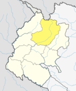
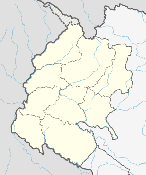 Jayaprithvi Municipality Location in Nepal  Jayaprithvi Municipality Jayaprithvi Municipality (Nepal) | |
| Coordinates: 29°33′N 81°12′E / 29.550°N 81.200°E | |
| Country | |
| Province | Sudurpashchim Province |
| District | Bajhang District |
| Government | |
| • Mayor | Birendra Bahadur Khadka |
| • Deputy Mayor | Juna Jagri |
| Time zone | UTC+5:45 (NST) |
| Postal code | 10500 |
| Area code | 092 |
| Website | jayaprithvimun |
Jayaprithvi (ancient name Chainpur[citation needed]) is a municipality and the district headquarter of Bajhang District in Sudurpashchim Province of Nepal that was established on 18 May 2014 by merging the two former Village development committees Rithapata, Chainpur, Hemantabada, Luyanta and Subeda.[1][2] It lies on the bank of Seti River.
Demographics
At the time of the 2011 Nepal census, Jayaprithvi Municipality had a population of 22,553. Of these, 75.7% spoke Nepali, 23.7% Bajhangi, 0.2% Tamang, 0.1% Doteli, 0.1% Hindi, 0.1% Newar and 0.2% other languages as their first language.[3]
In terms of ethnicity/caste, 41.6% were Chhetri, 22.4% Hill Brahmin, 15.1% Thakuri, 6.8% other Dalit, 5.6% Kami, 3.9% Sarki, 2.1% Damai/Dholi, 0.6% Sanyasi/Dasnami, 0.4% Tamang, 0.3% Badi, 0.3% Magar, 0.3% Newar, 0.1% Dhobi, 0.1% Kayastha, 0.1% Tharu and 0.2% others.[4]
In terms of religion, 99.3% were Hindu, 0.5% Buddhist and 0.1% Christian.[5]
In terms of literacy, 63.0% could read and write, 2.9% could only read and 34.1% could neither read or write.[6]
Transportation
Bajhang Airport lies in Old-Rithapata.[7]
References
- ^ "72 new municipalities announced". My Republica.com. Archived from the original on 2014-06-18. Retrieved 2014-06-10.
- ^ "Government announces 72 new municipalities". The Kathmandu Post. Archived from the original on 2014-10-06. Retrieved 2014-06-10.
- ^ NepalMap Language [1]
- ^ NepalMap Caste [2]
- ^ NepalMap Religion [3]
- ^ NepalMap Literacy [4]
- ^ "Bajhang Airport" (PDF). Civil Aviation Authority of Nepal. Archived from the original (PDF) on 14 May 2018. Retrieved 1 May 2018.
This article about a location in the Bajhang District of Nepal is a stub. You can help Wikipedia by expanding it. |