
Chiang Yuen
เชียงยืน | |
|---|---|
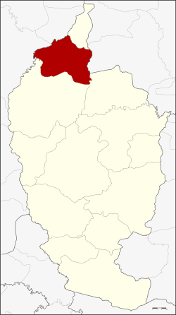 District location in Maha Sarakham province | |
| Coordinates: 16°24′29″N 103°6′19″E / 16.40806°N 103.10528°E | |
| Country | Thailand |
| Province | Maha Sarakham |
| District established | 1958 |
| Area | |
| • Total | 289.0 km2 (111.6 sq mi) |
| Population (2008) | |
| • Total | 61,704 |
| • Density | 214.5/km2 (556/sq mi) |
| Time zone | UTC+7 (ICT) |
| Postal code | 44160 |
| Geocode | 4405 |
Chiang Yuen (Thai: เชียงยืน, pronounced [t͡ɕʰīa̯ŋ jɯ̄ːn]) is a district (amphoe) in the northern part of Maha Sarakham province, northeastern Thailand.
YouTube Encyclopedic
-
1/3Views:27 38957 502467
-
Expat Kills his Thai Wife is Found Dead in Prison, #prison #thailand #storytelling
-
一起到 Central World 行街🛍️|爆買4個泰國本地品牌💸|買到選擇性困難發作😝|泰國小阮Yuensanthailand E106
-
โปงลาง โรงเรียนเชียงยืนวิทยาท่าอุเทนใหลเรือไฟ Local PongLang Band Chiang YuenWittaya SchoolThailand
Transcription
Geography
Neighboring districts are (from the north clockwise): Chuen Chom of Maha Sarakham Province; Yang Talat of Kalasin province; Kantharawichai and Kosum Phisai of Maha Sarakham; Mueang Khon Kaen and Sam Sung of Khon Kaen province.
History
On 16 August 1958 the minor district (king amphoe) was split off from Kantharawichai district, consisting of the four tambons Chiang Yuen, Chuen Chom, Ku Thong, and Nong Son.[1] On 11 December 1959 it was upgraded to a full district.[2]
Administration
The district is divided into eight sub-districts (tambons), which are further subdivided into 116 villages (mubans). Chiang Yuen is a sub-district municipality (thesaban tambon) which covers parts of tambon Chiang Yuen. There are a further eight tambon administrative organizations (TAO).
| No. | Name | Thai | Villages | Pop.[3] |
|---|---|---|---|---|
| 1. | Chiang Yuen | เชียงยืน | 19 | 13,758 |
| 3. | Nong Son | หนองซอน | 16 | 6,895 |
| 5. | Don Ngoen | ดอนเงิน | 15 | 7,128 |
| 6. | Ku Thong | กู่ทอง | 19 | 10,155 |
| 7. | Na Thong | นาทอง | 11 | 5,690 |
| 8. | Suea Thao | เสือเฒ่า | 16 | 8,374 |
| 11. | Phon Thong | โพนทอง | 12 | 6,036 |
| 12. | Lao Bua Ban | เหล่าบัวบาน | 8 | 3,668 |
Missing numbers are the tambons which now form Chuen Chom District.
References
- ^ ประกาศกระทรวงมหาดไทย เรื่อง ยกฐานะตำบลขึ้นเป็นกิ่งอำเภอ (PDF). Royal Gazette (in Thai). 75 (70 ง): 2487. 1958-09-09. Archived from the original (PDF) on June 4, 2012.
- ^ พระราชกฤษฎีกาตั้งอำเภอชุมพวง อำเภอเชียงยืน อำเภอแก้งคร้อ อำเภอสำโรงทาบ อำเภอคอนสาร อำเภอเซกา อำเภอทุ่งเสลี่ยม อำเภอบ้านด่าน อำเภอขนอม อำเภอบ้านแพรก อำเภอกระทู้ และอำเภอคลองใหญ่ พ.ศ. ๒๕๐๒ (PDF). Royal Gazette (in Thai). 76 (113 ก ฉบับพิเศษ): 8. 1959-01-10. Archived from the original (PDF) on July 18, 2011.
- ^ "Population statistics 2008". Department of Provincial Administration. Archived from the original on 2009-08-20. Retrieved 2009-10-10.
External links
- amphoe.com (Thai)
This Maha Sarakham Province location article is a stub. You can help Wikipedia by expanding it. |