


Boumalne Dades (Arabic: بومالن دادس) is a city in Tinghir Province, Drâa-Tafilalet, Morocco. According to the 2014 census, it had a population of 12,328.[1]
Located at the edge of a desert plateau, at the outlet of the upper Dadès Valley (more than 1500 m high), Boumalne Dades is originated from an old way of transhumance, controlled by the Aït Atta Tribe of Jbel Saghro and also used by neighboring tribes of Mgouna, Aït Sedrate, Aït Hdiddou and Aït Marghad between summer pastures in the High Atlas and Saghro wintering ones. Most of its residents, like those of the Dades Valley, are berber people.

YouTube Encyclopedic
-
1/2Views:56 9908 468
-
60 boumalne dades
-
Alalou coiffeur ( Boumalne Dades) 2011
Transcription
References
- ^ "Archived copy" (PDF). Archived from the original (PDF) on 2017-02-08. Retrieved 2016-08-21.
{{cite web}}: CS1 maint: archived copy as title (link) - ^ Imiter mine[permanent dead link] at Mindat.org
Wikimedia Commons has media related to Boumalne du Dades.
Capital: Errachidia | ||
| Provinces | 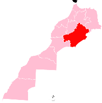 | |
| Cities | ||
31°25′25″N 6°04′20″W / 31.42361°N 6.07222°W