
| Bahau River Sungai Bahau | |
|---|---|
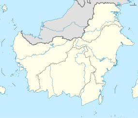 Location of river mouth  Bahau River (Indonesia) | |
| Location | |
| Country | Indonesia |
| Province | North Kalimantan |
| Physical characteristics | |
| Source | |
| • location | Borneo |
| Mouth | Kayan River |
The Bahau River is a river in North Kalimantan, Indonesia, about 1400 km northeast of the capital Jakarta.[1][2]
The river is deemed a tributary of the Kayan River.
YouTube Encyclopedic
-
1/2Views:5 6836 984
-
Amazing Bahau Rivers.wmv
-
Long Pujungan to Tanjung Selor by longboat - Sungai Bahau and Kayan, Kalimantan, Borneo
Transcription
Geography
The river flows in the northeast area of Kalimantan with a predominantly tropical rainforest climate (designated as Af in the Köppen-Geiger climate classification).[3] The annual average temperature in the area is 20 °C. The warmest month is October when the average temperature is around 22 °C, and the coldest is July, at 19 °C.[4] The average annual rainfall is 3957 mm. The wettest month is September, with an average of 446 mm rainfall, and the driest is April, with 269 mm rainfall.[5]
| Bahau River | ||||||||||||||||||||||||||||||||||||||||||||||||||||||||||||
|---|---|---|---|---|---|---|---|---|---|---|---|---|---|---|---|---|---|---|---|---|---|---|---|---|---|---|---|---|---|---|---|---|---|---|---|---|---|---|---|---|---|---|---|---|---|---|---|---|---|---|---|---|---|---|---|---|---|---|---|---|
| Climate chart (explanation) | ||||||||||||||||||||||||||||||||||||||||||||||||||||||||||||
| ||||||||||||||||||||||||||||||||||||||||||||||||||||||||||||
| ||||||||||||||||||||||||||||||||||||||||||||||||||||||||||||
See also
References
- ^ Sungai Bahau at Geonames.org (cc-by); Last updated 2013-06-04; Database dump downloaded 2015-11-27
- ^ Rand McNally, The New International Atlas, 1993.
- ^ Peel, M C; Finlayson, B L; McMahon, T A (2007). "Updated world map of the Köppen-Geiger climate classification". Hydrology and Earth System Sciences. 11: 1633–1644. doi:10.5194/hess-11-1633-2007. Retrieved 30 January 2016.
- ^ a b "NASA Earth Observations Data Set Index". NASA. 30 January 2016. Archived from the original on 11 May 2020. Retrieved 8 January 2019.
- ^ "NASA Earth Observations: Rainfall (1 month - TRMM)". NASA/Tropical Rainfall Monitoring Mission. 30 January 2016. Archived from the original on 19 April 2019. Retrieved 8 January 2019.
2°34′10″N 116°27′14″E / 2.56935°N 116.45394°E