
| Plumas National Forest | |
|---|---|
 Bucks Lake in Plumas National Forest | |
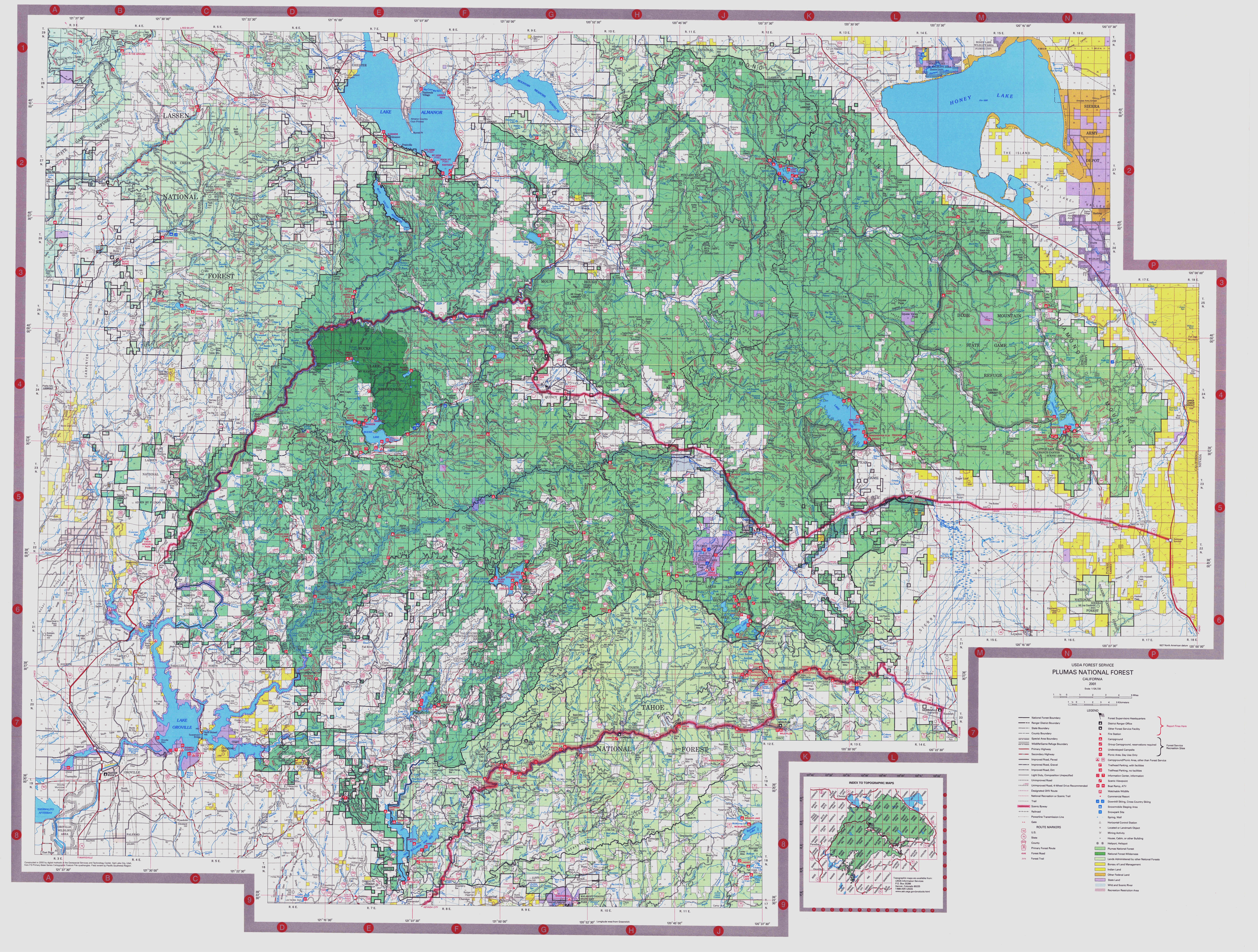
 Map of California  Plumas National Forest (the United States) | |
| Nearest city | Quincy, California |
| Coordinates | 40°00′01″N 120°40′05″W / 40.00028°N 120.66806°W |
| Area | 1,146,000 acres (4,640 km2) |
| Established | 1907 |
| Governing body | U.S. Forest Service |
| Website | Plumas National Forest |
Plumas National Forest is a 1,146,000-acre (4,640 km2) United States National Forest located at the northern terminus of the Sierra Nevada, in northern California. The Forest was named after its primary watershed, the Rio de las Plumas, or Feather River.
YouTube Encyclopedic
-
1/5Views:3 0296 1835371 4482 868
-
Camping in Plumas National Forest
-
Exploring an Abandoned Mine and Mill in the Plumas National Forest
-
Hiking In Plumas National Forest
-
Mt.Hough Crystal Lake Plumas National Forest
-
Gold Lake Plumas National Forest
Transcription
Geography
About 85% of Plumas National Forest lies in Plumas County, portions extend into eastern Butte, northern Sierra, southern Lassen, and northeastern Yuba counties.[1]
Management
The land is managed by the United States Forest Service under the Department of Agriculture with local management stationed at the Plumas National Forest Supervisor's office in Quincy, California. The forest is also subdivided into three Ranger Districts, the Beckwourth Ranger District, the Feather Falls Ranger District and the Mt. Hough Ranger District, with local management in Blairsden, Oroville, and Quincy, respectively.[2]
History
Plumas was established as the Plumas Forest Reserve by the United States General Land Office on March 27, 1905. In 1906 the forest was transferred to the U.S. Forest Service, and on March 4, 1907, it became a National Forest. On July 1, 1908, a portion of Diamond Mountain National Forest was added.[3] The Bucks Lake Wilderness was officially designated in 1984 as a part of the National Wilderness Preservation System.
Ecology
A 2002 study by the Forest Service identified 127,000 acres (51,000 ha) of the forest as old growth, using an economic type definition.[4] The most common old-growth forest types are mixed conifer forests of:
- Coast Douglas-fir (Pseudotsuga menziesii var. menziesii)
- Pacific and Columbia Ponderosa Pine (Pinus ponderosa ssp. critchfieldiana) in the west, transitioning to (P. ponderosa ssp. ponderosa) in the far eastern section
- Sierra White Fir (Abies concolor ssp. lowiana)
- Jeffrey Pine (Pinus jeffreyi)
- Red Fir (Abies magnifica)
- Sierra Lodgepole Pine (Pinus Contorta ssp. murrayana)
- Incense Cedar (Calocedrus decurrens)
- Sugar pine (Pinus lambertiana)
Virtually no virgin timberland exists, as the area has been a logging epicenter starting with the gold rush continuing into the modern era.
See also
- List of plants of the Sierra Nevada (U.S.)
- Modoc Cypress
- Category:Fauna of the Sierra Nevada (United States)
- Beckwourth Ranger District
- Butterfly Valley Botanical Area
- Feather Falls
- Lake Davis
- Frenchman Lake (California)
- Bucks Lake
- Mount Ingalls (California)
- Thompson Peak (Plumas County, California)
- Adams Peak
- Diamond Mountains (California)
- Moonlight Fire
- Camp Fire (2018)
- Walker Fire
- North Complex Fire
- Dixie Fire
- The Lost Sierra
- Yuba County Five
- Disappearance of Gary Mathias, the only one of a group of five men who otherwise perished in a mysterious incident in winter 1978 whose body has not been found
References
- ^ http://www.fs.fed.us/land/staff/lar/2007/TABLE_6.htm[bare URL]
- ^ USFS Ranger Districts by State
- ^ Davis, Richard C. (September 29, 2005), National Forests of the United States (PDF), The Forest History Society, archived from the original (PDF) on October 28, 2012, retrieved August 13, 2011
- ^ Warbington, Ralph; Beardsley, Debby (2002), 2002 Estimates of Old Growth Forests on the 18 National Forests of the Pacific Southwest Region, United States Forest Service, Pacific Southwest Region
External links
| Mountains |
| |||||||||||
|---|---|---|---|---|---|---|---|---|---|---|---|---|
| Passes | ||||||||||||
| Rivers | ||||||||||||
| Lakes | ||||||||||||
| Protected areas |
| |||||||||||
| Communities | ||||||||||||
| Ski areas | ||||||||||||
| Trails | ||||||||||||

| International | |
|---|---|
| National | |