
| Municipio | ||
 Iglesia de Uckerfelde
| ||
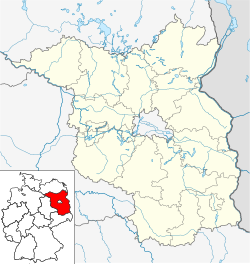 Uckerfelde Ubicación de Uckerfelde en Brandeburgo | ||
 | ||
| Coordenadas | 53°15′54″N 13°56′59″E / 53.265, 13.949722222222 | |
|---|---|---|
| Entidad | Municipio | |
| • País |
| |
| Superficie | ||
| • Total | 45,93 km² | |
| Altitud | ||
| • Media | 78 m s. n. m. | |
| Población (2022) | ||
| • Total | 954 hab. | |
| • Densidad | 20,62 hab./km² | |
| Huso horario | UTC+01:00 y UTC+02:00 | |
| Código postal | 17291[1] | |
| Prefijo telefónico | 039858 y 039861 | |
| Matrícula | UM | |
| Número oficial de comunidad | 12073578 | |
| Sitio web oficial | ||
Uckerfelde es un municipio situado en el distrito de Uckermark, en el estado federado de Brandeburgo (Alemania), a una altura de 80 metros. Su población a finales de 2016 era de 900 habs. y su densidad poblacional, 21 hab/km².[2]
Referencias
- ↑ Worldpostalcodes.org, código postal n.º 17291.
- ↑ [1] Estadísticas bundestag. Consultado el 7 de junio de 2018
Enlaces externos
- Esta obra contiene una traducción derivada de «Uckerfelde» de Wikipedia en inglés, publicada por sus editores bajo la Licencia de documentación libre de GNU y la Licencia Creative Commons Atribución-CompartirIgual 4.0 Internacional.
 Wikimedia Commons alberga una categoría multimedia sobre Uckerfelde.
| Control de autoridades |
|
|---|
 Datos: Q625362
- Multimedia: Uckerfelde / Q625362