
| Lange Park | ||
|---|---|---|
| Localidad | ||
 Lange Park Localización de Lange Park en Trinidad y Tobago | ||
| Coordenadas | 10°31′25″N 61°24′07″O / 10.5236, -61.4019 | |
| Entidad | Localidad | |
| • País |
| |
| • Isla | Trinidad | |
| • Borough | Chaguanas | |
| Población (2011) | ||
| • Total | 4042 hab. | |
Lange Park es una localidad de Trinidad y Tobago, que forma parte del borough de Chaguanas.[1][2]
Geografía
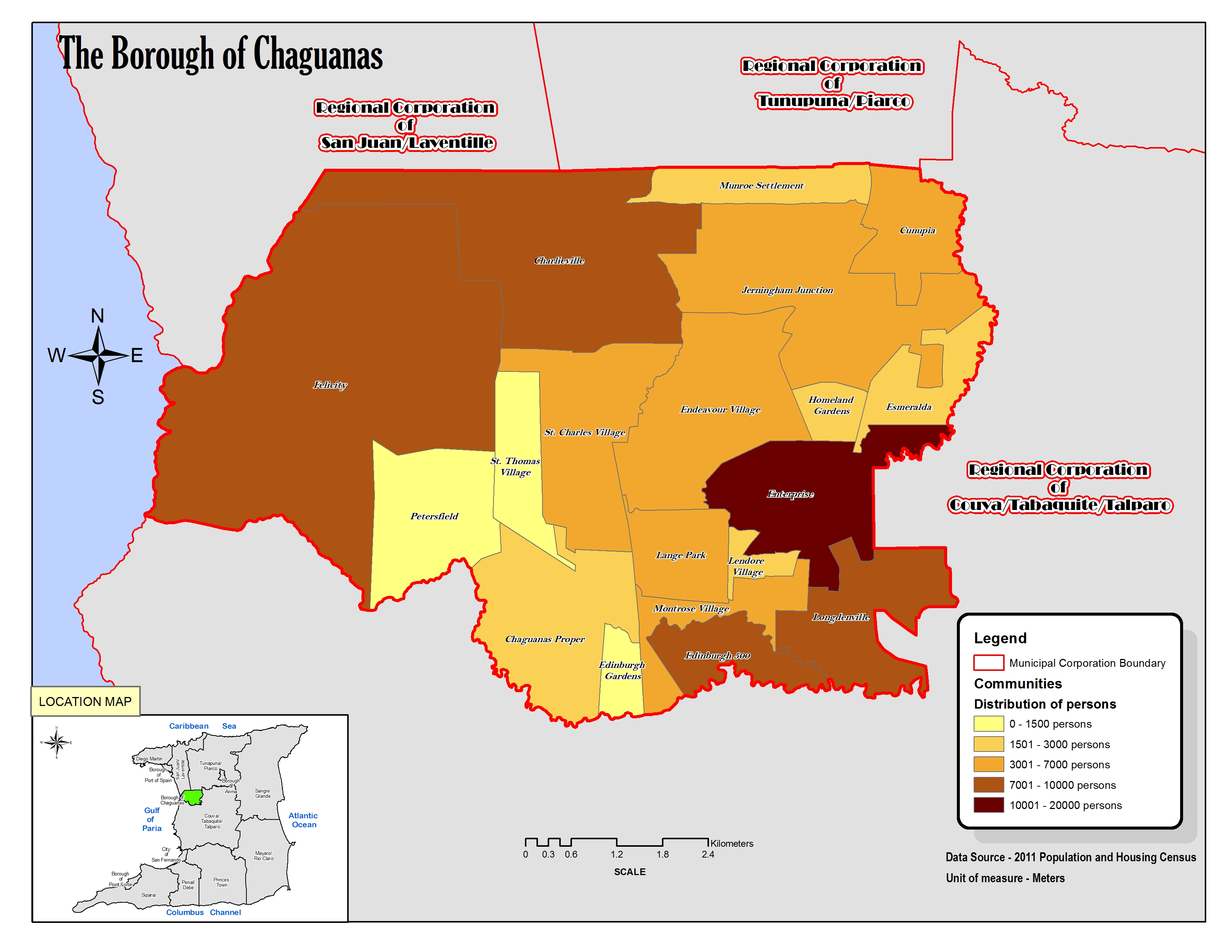
La localidad abarca parte de la isla Trinidad y limita al norte con Endeavour Village y Enterprise, al sur con Montrose Village, al este con Enterprise, Lendore Village y Montrose Village y al oeste con St. Charles Village y Chaguanas.[3]
Demografía
Datos demográficos de la localidad de Lange Park:[1]
| Gráfica de evolución demográfica de Lange Park entre 2000 y 2011 |
 |
Referencias
- ↑ a b «TRINIDAD AND TOBAGO. Municipalities and Communities: The population of the cities, boroughs, regions, parishes and communities of Trinidad and Tobago by census years.». Citypopulation.de (en inglés). 18 de mayo de 2020. Consultado el 15 de julio de 2023.
- ↑ «Population Statistics: Demographic Profiles of Municipalities and Communities.». CENTRAL STATISTICAL OFFICE. Ministry of Planning and Development (cso.gov.tt) (en inglés). 2023. Consultado el 15 de julio de 2023.
- ↑ «The Borough of Chaguanas. Location map.». cso.gov.tt (en inglés). 2011. Consultado el 15 de agosto de 2023.
| Control de autoridades |
|
|---|
 Datos: Q18345066