
| Kalmthout | ||||
|---|---|---|---|---|
| Municipio | ||||
 | ||||
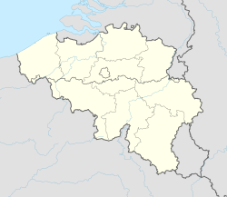 Kalmthout Localización de Kalmthout en Bélgica | ||||
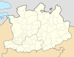 Kalmthout Localización de Kalmthout en Amberes | ||||
 | ||||
| Coordenadas | 51°23′00″N 4°28′35″E / 51.383333333333, 4.4763888888889 | |||
| Capital | Kalmthout | |||
| Entidad | Municipio | |||
| • País |
| |||
| • Región |
| |||
| • Provincia |
| |||
| • Distrito | Amberes | |||
| Superficie | ||||
| • Total | 59,45 km² | |||
| Población (2018) | ||||
| • Total | 18 608 hab.[1] | |||
| • Densidad | 313 hab./km² | |||
| Huso horario | UTC+01:00 | |||
| Código postal | 2920[2] | |||
| Prefijo telefónico | 03 | |||
| Sitio web oficial | ||||


Kalmthout es un municipio de la provincia de Amberes, en Bélgica. El municipio comprende únicamente la villa de Kalmthout. El 1 de enero de 2018 Kalmthout tenía una población de 18.608 habitantes. La superficie total del municipio es de 59,45 km². Kalmthout tiene, por tanto, una densidad de población de 313 habitantes por kilómetro cuadrado.

El Arboretum Kalmthout es uno de los jardines botánicos más preciosos de Bélgica.[3]
El Kalmthoutse Heide es una reserva natural de cerca de 4.000 hectáreas sobre la frontera entre Bélgica y los Países Bajos.[4]
YouTube Encyclopedic
-
1/2Views:8588 953
-
Straatfeesten Festival Kalmthout 2015 - Moodmovie
-
SEXY BN'ER - Tom van Kalmthout over voortplanting! | De Dokter Corrie Show
Transcription
Demografía
Evolución
Todos los datos históricos relativos al actual municipio, el siguiente gráfico refleja su evolución demográfica.
| Gráfica de evolución demográfica de Kalmthout entre 1846 y 2020 |
 |
Referencias
- ↑ Datos obtenidos de: Gobierno belga. (enero de 2017)
- ↑ Worldpostalcodes.org, código postal n.º 2920.
- ↑ Arboretum Kalmthout (en neerlandés)
- ↑ Kalmthoutse Heide (en inglés).
Enlaces externos
 Wikimedia Commons alberga una categoría multimedia sobre Kalmthout.
- Página web oficial de Kalmthout (en neerlandés).