
| Isla Kadan Kyun | ||
|---|---|---|
| Ubicación geográfica | ||
| Archipiélago | Archipiélago de Mergui | |
| Mar | Mar de Andamán | |
| Coordenadas | 12°30′00″N 98°22′00″E / 12.5, 98.366666666667 | |
| Ubicación administrativa | ||
| País |
| |
| División | Tanintharyi | |
| Región | Región de Tanintharyi | |
| Características generales | ||
| Superficie | 450 | |
| Punto más alto | (181 metros) | |
| Población | ||
| Capital | no tiene | |
| Población | ? hab. | |
| Densidad | ? hab./km² | |
| Gentilicio | no tiene | |
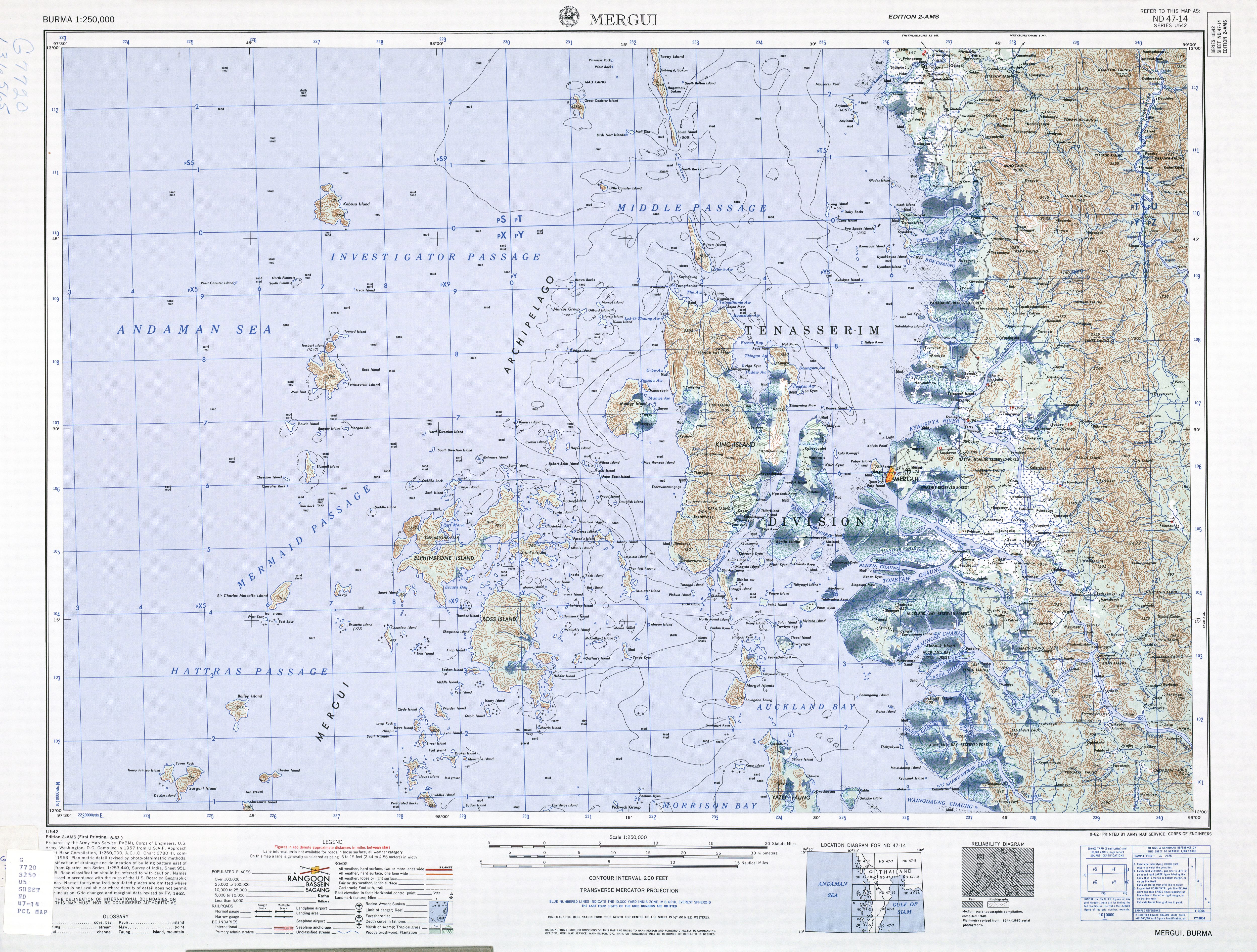
Kadan Kyun es la isla más grande del archipiélago de Mergui, en Birmania. Su superficie es de 450 km². El punto más alto es el Pico de la Bahía francesa (767 m o 2.516 pies),[1] que también es el punto más alto del archipiélago.[2]
Bajo el gobierno británico, la isla era conocida como (King Island o King's Island[3]) o la Isla del Rey y más tarde como Isla Kadan o Kyun Kadan, basándose en la pronunciación local.[4]
Entre las comunidades de la isla Kadan se pueden mencionar: Gyindaungchaung, Kabingyaung, Kapa, Kyataw, Mayanchaung, Tharawuntaungnge y Yemyitkyi.[5]
Véase también
Referencias
- ↑ http://www.lib.utexas.edu/maps/ams/burma/txu-oclc-6924198-nd47-14.jpg
- ↑ Bird, Eric C. F. (2010) Encyclopedia of the World's Coastal Landforms Springer Verlag, Netherlands, page 1085, ISBN 978-1-4020-8638-0
- ↑ http://geonames.nga.mil/ggmagaz/detaillinksearch.asp?G_NAME='32FA8845A31B3774E0440003BA962ED3'&Diacritics=DC
- ↑ Klinkmüller, Volker et al. (2003) "Kadan Kyun (Kyunsu)" Myanmar DuMont-Reiseverlag, Ostfildern, Germany, page 471 ISBN 3-7701-6147-5, in German
- ↑ http://www.maplandia.com/burma/tenasserim/mergui/yemyitkyi-12-33-0-n-98-20-0-e/
| Control de autoridades |
|
|---|
 Datos: Q6345141