
| Cedros | ||
|---|---|---|
| Localidad | ||
 Vista de la localidad
| ||
 Cedros Localización de Cedros en Trinidad y Tobago | ||
| Coordenadas | 10°05′34″N 61°51′37″O / 10.0928, -61.8602 | |
| Entidad | Localidad | |
| • País |
| |
| • Isla | Trinidad | |
| • Región | Siparia | |
| Población (2011) | ||
| • Total | 849 hab. | |
Cedros es una localidad de Trinidad y Tobago, que forma parte de la región de Siparia.[1][2]
Geografía
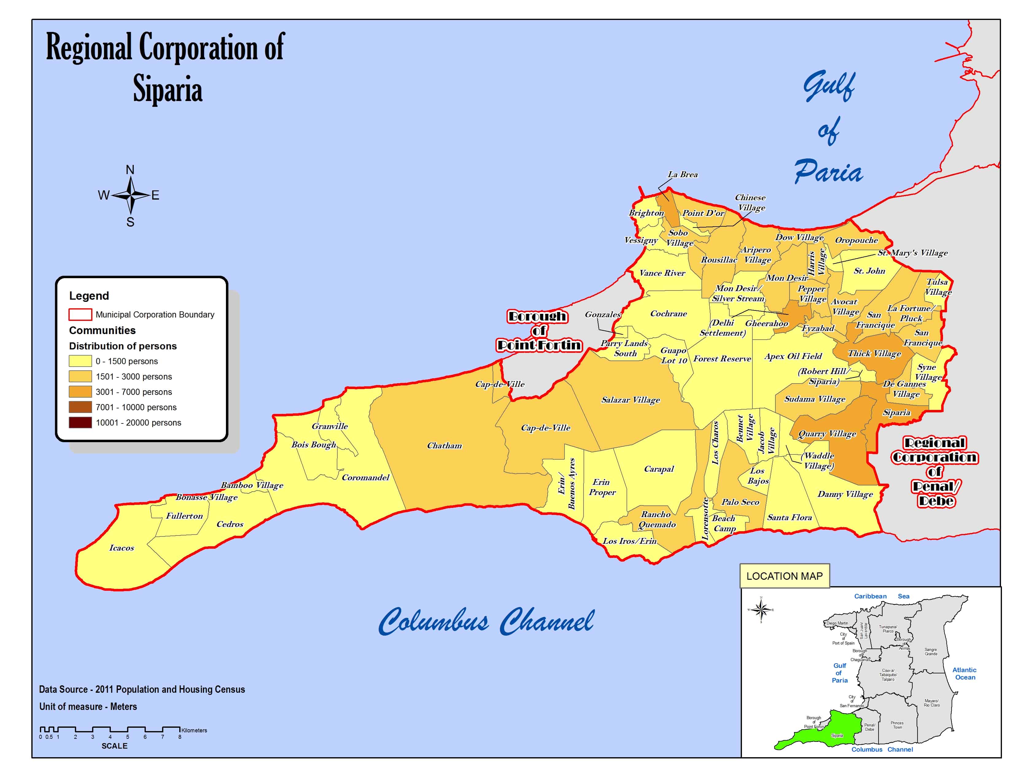
La localidad abarca parte de la isla Trinidad y limita al norte con el golfo de Paria y Bamboo Village, al sur con el canal de Colón, al este con Coromandel y al oeste con Fullerton e Icacos.[3]
Demografía
Datos demográficos de la localidad de Cedros:[1]
| Gráfica de evolución demográfica de Cedros entre 2000 y 2011 |
 |
Referencias
- ↑ a b «TRINIDAD AND TOBAGO. Municipalities and Communities: The population of the cities, boroughs, regions, parishes and communities of Trinidad and Tobago by census years.». Citypopulation.de (en inglés). 18 de mayo de 2020. Consultado el 23 de septiembre de 2023.
- ↑ «Population Statistics: Demographic Profiles of Municipalities and Communities.». CENTRAL STATISTICAL OFFICE. Ministry of Planning and Development (cso.gov.tt) (en inglés). 2023. Consultado el 23 de septiembre de 2023.
- ↑ «Regional Corporation of Siparia. Location map.». cso.gov.tt (en inglés). 2011. Consultado el 23 de septiembre de 2023.
Enlaces externos
 Wikimedia Commons alberga una categoría multimedia sobre Cedros.
| Control de autoridades |
|
|---|
 Datos: Q5057178
- Multimedia: Cedros, Trinidad and Tobago / Q5057178