

Tamaño de esta previsualización PNG del archivo SVG: 445 × 599 píxeles. Otras resoluciones: 178 × 240 píxeles · 356 × 480 píxeles · 570 × 768 píxeles · 760 × 1024 píxeles · 1520 × 2048 píxeles · 758 × 1021 píxeles.
Ver la imagen en su resolución original ((Imagen SVG, nominalmente 758 × 1021 pixels, tamaño de archivo: 91 kB))
Resumen
| Descripción |
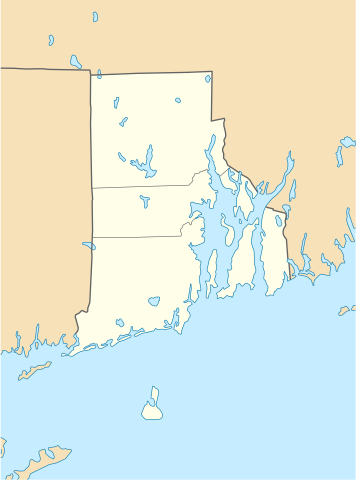
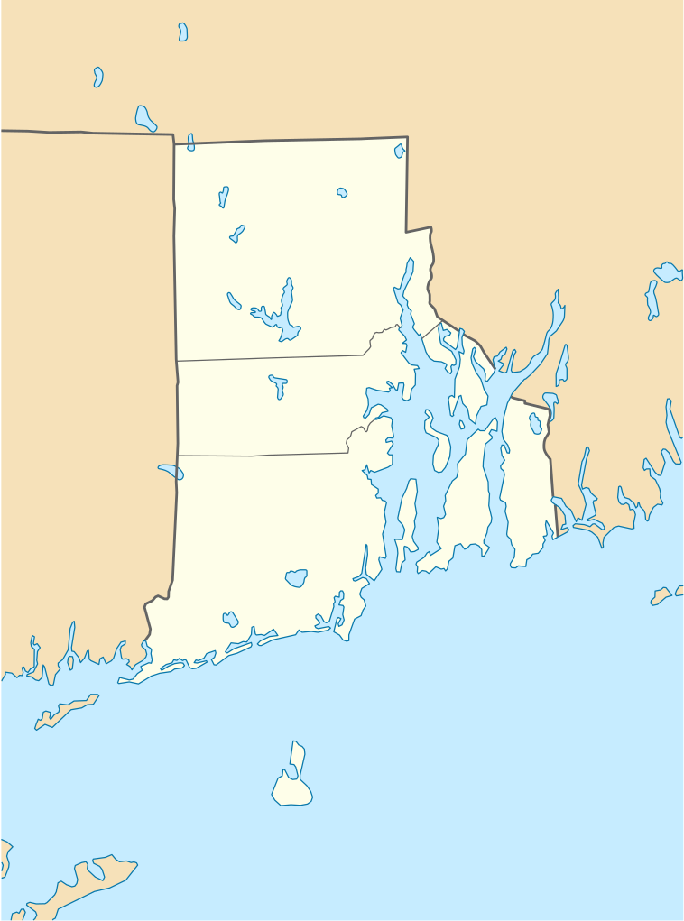
Quadratische Plattkarte, N-S-Streckung 135 %. Geographische Begrenzung der Karte:
Equirectangular projection, N/S stretching 135 %. Geographic limits of the map:
|
| Fecha | 11 de junio de 2009 (fecha de carga) |
| Fuente |
own work, using
|
| Autor | NordNordWest |
| Otras versiones |
Obras derivadas de ésta: |

|
Este mapa se ha hecho o mejorado en el Kartenwerkstatt (taller cartográfico) alemán. También puede proponer mapas para mejorar.
|
Licencia
Yo, titular de los derechos de autor de esta obra, la publico en los términos de las siguientes licencias:

|
Se autoriza la copia, distribución y modificación de este documento bajo los términos de la licencia de documentación libre GNU, versión 1.2 o cualquier otra que posteriormente publique la Fundación para el Software Libre; sin secciones invariables, textos de portada, ni textos de contraportada. Se incluye una copia de la dicha licencia en la sección titulada Licencia de Documentación Libre GNU. |
Este archivo se encuentra bajo la licencia Creative Commons Atribución 3.0 Unported.
- Eres libre:
- de compartir – de copiar, distribuir y transmitir el trabajo
- de remezclar – de adaptar el trabajo
- Bajo las siguientes condiciones:
- atribución – Debes otorgar el crédito correspondiente, proporcionar un enlace a la licencia e indicar si realizaste algún cambio. Puedes hacerlo de cualquier manera razonable pero no de manera que sugiera que el licenciante te respalda a ti o al uso que hagas del trabajo.
Puedes usar la licencia que prefieras.
Historial del archivo
Haz clic sobre una fecha y hora para ver el archivo tal como apareció en ese momento.
| Fecha y hora | Miniatura | Dimensiones | Usuario | Comentario | |
|---|---|---|---|---|---|
| actual | 18:51 11 jun 2009 | | 758 × 1021 (91 kB) | NordNordWest | {{Information |Description= {{de|Positionskarte von Rhode Island, USA}} Quadratische Plattkarte, N-S-Streckung 135 %. Geographische Begrenzung der Karte: * N: 42.2° N * S: 41.0° N * W: 72.1° W * O: 70.9° W {{en|Locatio |
Usos del archivo
Las siguientes páginas usan este archivo:
- Aeropuerto T. F. Green
- Ashaway
- Barrington (Rhode Island)
- Block Island
- Bradford (Rhode Island)
- Bristol (Rhode Island)
- Burrillville
- Carolina (Rhode Island)
- Castillo Belcourt
- Central Falls
- Chepachet (Rhode Island)
- Clayville (Rhode Island)
- Coventry (Rhode Island)
- Cranston
- Cumberland (Rhode Island)
- Cumberland Hill
- East Greenwich (Rhode Island)
- East Providence
- Exeter (Rhode Island)
- Foster (Rhode Island)
- Foster Center (Rhode Island)
- Glocester
- Greene (Rhode Island)
- Greenville (Rhode Island)
- Harmony (Rhode Island)
- Harrisville (Rhode Island)
- Hope Valley
- Hopkinton (Rhode Island)
- Jamestown (Rhode Island)
- Johnston (Rhode Island)
- Kingston (Rhode Island)
- Lincoln (Rhode Island)
- Little Compton (Rhode Island)
- Melville (Rhode Island)
- Middletown (Rhode Island)
- Misquamicut (Rhode Island)
- Narragansett (Rhode Island)
- Narragansett Pier
- New Shoreham
- Newport (Rhode Island)
- Newport East
- North Kingstown
- North Providence
- North Smithfield
- Pascoag
- Pawtucket
- Point Judith
- Portsmouth (Rhode Island)
- Providence (Rhode Island)
- Richmond (Rhode Island)
- Scituate (Rhode Island)
- Smithfield (Rhode Island)
- South Kingstown
- Tiverton (Rhode Island)
- Tiverton (condado de Newport)
- Valley Falls (Rhode Island)
- Wakefield-Peacedale
- Wakefield (Rhode Island)
- Warren (Rhode Island)
- Watch Hill (Rhode Island)
- Weekapaug (Rhode Island)
- West Greenwich
- West Warwick
- Westerly
- Westerly (condado de Washington)
- Woonsocket (Rhode Island)
- Wyoming (Rhode Island)
Uso global del archivo
Las wikis siguientes utilizan este archivo:
- Uso en an.wikipedia.org
- Uso en ar.wikipedia.org
- Uso en azb.wikipedia.org
- Uso en az.wikipedia.org
- Uso en be-tarask.wikipedia.org
- Uso en bg.wikipedia.org
- Uso en bn.wikipedia.org
- টেমপ্লেট:অবস্থান মানচিত্র মার্কিন যুক্তরাষ্ট্রের রোড আইল্যান্ড
- ফস্টার-পেইন হাউস
- ১৭৬১ মাইলস্টোন
- পঞ্চম ওয়ার্ড ওয়ার্ডরুম
- ফায়ার স্টেশন নং ৪ (পটাকেট, রোডি আইল্যান্ড)
- ব্রাউন স্টেডিয়াম
- মডিউল:অবস্থান মানচিত্র/উপাত্ত/মার্কিন যুক্তরাষ্ট্র রোড আইল্যান্ড
- মডিউল:অবস্থান মানচিত্র/উপাত্ত/মার্কিন যুক্তরাষ্ট্র রোড আইল্যান্ড/নথি
- Uso en ca.wikipedia.org
- Uso en ceb.wikipedia.org
- Uso en ce.wikipedia.org
- Ворик (Род-Айленд)
- Вунсокет (Род-Айленд)
- Ист-Провиденс (Род-Айленд)
- Кренстон (Род-Айленд)
- Ньюпорт (Род-Айленд)
- Потакет (Род-Айленд)
- Провиденс
- Сентрал-Фоллс (Род-Айленд)
- Барриллвилл (Род-Айленд)
- Беррингтон (Род-Айленд)
- Бристоль (Род-Айленд)
- Вест-Ворик (Род-Айленд)
- Вест-Гринвич (Род-Айленд)
- Вестерли
- Воррен (Род-Айленд)
- Глостер (Род-Айленд)
- Гопкинтон
- Джеймстаун (Род-Айленд)
- Джонстон (Род-Айленд)
- Эксетер (Род-Айленд)
- Ист-Гринвич (Род-Айленд)
Ver más uso global de este archivo.