
Tamaño de esta previsualización: 800 × 533 píxeles. Otras resoluciones: 320 × 213 píxeles · 640 × 427 píxeles · 1024 × 683 píxeles · 1280 × 853 píxeles · 2560 × 1707 píxeles · 4722 × 3148 píxeles.
Ver la imagen en su resolución original (4722 × 3148 píxeles; tamaño de archivo: 11,01 MB; tipo MIME: image/jpeg)
Resumen
| Descripción |
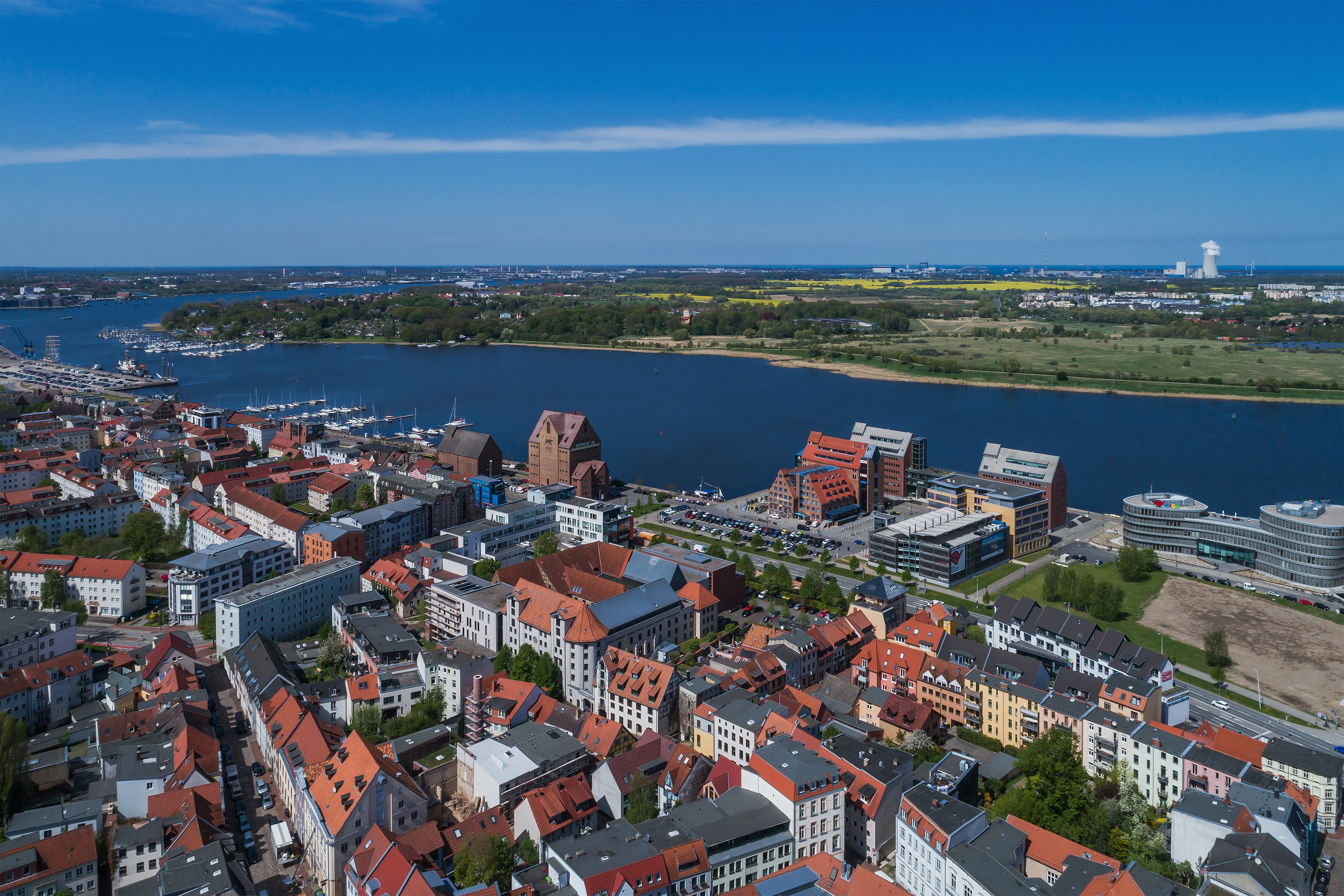
English: Aerial photo near the urban port in Rostock, Germany
Deutsch: Luftaufnahme nahe Stadthafen in Rostock, Deutschland
Русский: Аэрофотосъёмка недалеко от городского порта в Ростоке, Германия |
| Fecha | |
| Fuente | Trabajo propio |
| Autor | A.Savin |
| Permiso (Reutilización de este archivo) |
.svg) Just attribute the author: «A.Savin, Wikipedia»; if you have questions — Telegram, or e-mail to [email protected]..svg) Просто укажите в качестве автора: «А.Савин, Википедия»; если есть вопрос — телеграм, или эл.почта на [email protected]. Kennzeichnen Sie einfach als Autor: «A.Savin, Wikipedia»; falls Sie Fragen haben — Telegram, oder E-Mail an [email protected].
Thank you. |
| Posición de la cámara | | Ubicación de esta y otras imágenes en: OpenStreetMap |
|---|
Licencia
| Copyleft: esta obra de arte es libre; puedes redistribuírla y/o modificarla de acuerdo con los términos de la licencia de arte libre. Encontrarás un ejemplar de esta licencia en la página de Copyleft Attitude, así como también en otros sitios. |
Historial del archivo
Haz clic sobre una fecha y hora para ver el archivo tal como apareció en ese momento.
| Fecha y hora | Miniatura | Dimensiones | Usuario | Comentario | |
|---|---|---|---|---|---|
| actual | 15:27 13 nov 2018 | | 4722 × 3148 (11,01 MB) | A.Savin | {{User:A.Savin/F |Description= {{en|Aerial photo near the urban port in Rostock, Germany}} {{de|Luftaufnahme nahe Stadthafen in Rostock, Deutschland}} {{ru|Аэрофотосъёмка недалеко от городского порта в Ростоке, Германия}} |Year=2018 |Country=Germany |Month=05 |Day=02}} {{Location|54|5|23.1|N|12|8|50.5|E|region:DE-MV}} Category:Taken with DJI FC6310 Category:2018 in Rostock Category:Aerial photographs of Rostock Category:Stadthafen Rostock in the 2010s [[Category:Am Strande (R... |
Usos del archivo
La siguiente página usa este archivo:
Uso global del archivo
Las wikis siguientes utilizan este archivo:
- Uso en ar.wikipedia.org
- Uso en arz.wikipedia.org
- Uso en ast.wikipedia.org
- Uso en ba.wikipedia.org
- Uso en be.wikipedia.org
- Uso en ca.wikipedia.org
- Uso en ceb.wikipedia.org
- Uso en cy.wikipedia.org
- Uso en de.wikivoyage.org
- Uso en diq.wikipedia.org
- Uso en el.wikipedia.org
- Uso en en.wikipedia.org
- Uso en en.wikivoyage.org
- Uso en es.wikivoyage.org
- Uso en eu.wikipedia.org
- Uso en fi.wikipedia.org
- Uso en fr.wikivoyage.org
- Uso en gl.wikipedia.org
- Uso en hu.wikipedia.org
- Uso en hy.wikipedia.org
- Uso en ia.wikipedia.org
- Uso en it.wikipedia.org
- Uso en it.wikivoyage.org
- Uso en ka.wikipedia.org
- Uso en ky.wikipedia.org
- Uso en lb.wikipedia.org
- Uso en lmo.wikipedia.org
- Uso en ms.wikipedia.org
- Uso en mt.wikipedia.org
- Uso en nds.wikipedia.org
- Uso en nl.wikipedia.org
- Uso en nl.wikivoyage.org
- Uso en no.wikipedia.org
- Uso en os.wikipedia.org
- Uso en pl.wikipedia.org
- Uso en pl.wikivoyage.org
- Uso en pt.wikivoyage.org
- Uso en ro.wikipedia.org
- Uso en ru.wikivoyage.org
Ver más uso global de este archivo.