![Deutsch (de): Lagekarte von Lubmin, Landkreis Vorpommern-Greifswald, Mecklenburg-Vorpommern, Deutschland. @media all and (max-width:720px){.mw-parser-output table.multicol>tr>td,.mw-parser-output table.multicol>tbody>tr>td{display:block!important;width:100%!important;padding:0!important}.mw-parser-output table.multicol{width:100%!important}}.mw-parser-output table.multicol{border:0;border-collapse:collapse;background-color:transparent;padding:0}.mw-parser-output table.multicol>tr>td,.mw-parser-output table.multicol>tbody>tr>td{vertical-align:top} markierte Kommune andere Kommune im Gemeindeverband andere Kommunen im Landkreis andere Landkreise im (Bundes-)land Sitz der Verwaltung eines Gemeindeverbands ausländische Staaten andere (Bundes-)Länder Seen und Meere Flüsse und Küstenlinien See also: Projekt Landkreiskarten English (en): Locator map of Lubmin in District of Vorpommern-Greifswald, Mecklenburg-Vorpommern, Germany. highlighted municipality other municipalities in administrative body (Gemeindeverband, etc.) other municipalities in same district other districts in same state administrative centre of a municipalities association foreign countries other german states lakes and seas rivers and coastlines See also: Projekt Landkreiskarten (German) français (fr): Plan de localisation de la municipalité Lubmin dans l'arrondissement de Poméranie-Occidentale-Greifswald dans Mecklembourg-Poméranie-Occidentale, Allemagne. la municipalité marquée autres municipalités dans le même canton (Amt) autres municipalités dans le même arrondissement autres arrondissements dans le même Land siège de l'administration d'un syndicat intercommunal autres pays autres Länder allemands lacs et mers rivières Voir aussi: Projet Landkreiskarten (allemand) hornjoserbsce (hsb): Poziciska karta gmejny Lubmin, Landkreis Vorpommern-Greifswald, Mecklenburg-Vorpommern, Němska. wuzběhnjena gmejna druhe gmejny w administratiwnym zwjazku (zarjadniski zwjazk etc.) druhe gmejny w samsnym wokrjesu druhe wokrjesny w samsnym kraju administratiwne srjedźišćo gmejnskeho zwjazka wukraj druhe němske kraje jězory a morja rěki a pobrjóhi Hlej tež: projekt Landkreiskarten (němsce) македонски (mk): Положбена карта на Lubmin во рамките на Landkreis Vorpommern-Greifswald, Mecklenburg-Vorpommern, Германија. обележана општина други општини во управната единица (општинско здружение итн.) други општини во истиот округ други окрузи во истата покраина седиште на општинското здружение странски земји други германски покраини езера и мориња реки и брегови Поврзано: Проект „Окружни карти“ (германски) Nederlands (nl): Detailkaart van Lubmin in de Landkreis Vorpommern-Greifswald, Mecklenburg-Vorpommern, Duitsland. gemarkeerde gemeente andere gemeenten in het gemeenteverband andere gemeenten in de landkreis andere landkreise in de deelstaat Bestuurszetel van een gemeenteverband andere landen andere deelstaten meren en zeeën rivieren en kustlijnen Zie ook: Projekt Landkreiskarten (Duits) Esperanto (eo): Situomapo de Lubmin en Landkreis Vorpommern-Greifswald, Mecklenburg-Vorpommern, Germanio. akcentita komunumo aliaj komunumoj en administra kunumunaro aliaj komunumoj en sama distrikto aliaj distriktoj en sama federacia lando administra centro de kunumunaro ŝtatoj krom Germanio aliaj federaciaj landoj de Germanio lagoj kaj maroj riveroj kaj marbordoj Vidu ankaŭ: Projekt Landkreiskarten (germane) മലയാളം (ml): ജർമ്മനിയിലെ Mecklenburg-Vorpommern, District of Vorpommern-Greifswald, Lubmin ഭൂപടസ്ഥാനം. എടുത്തുകാണിക്കുന്ന നഗരസഭ ഭരണതലത്തിലുള്ള മറ്റ് നഗരസഭകൾ (ഗെമിൻഡർവാർഡ്, തുടങ്ങിയവ.) അതേ ജില്ലയിലുള്ള മറ്റ് നഗരസഭകൾ അതേ സംസ്ഥാനത്തുള്ള മറ്റ് ജില്ലകൾ നഗരസഭാ സമിതിയുടെ ഭരണനിർവഹണ കേന്ദ്രം വിദേശരാജ്യങ്ങൾ മറ്റ് ജർമ്മൻ സംസ്ഥാനങ്ങൾ തടാകങ്ങളും കടലുകളും നദികളും തീരപ്രദേശങ്ങളും ഇതും കാണുക: Projekt Landkreiskarten (German)](http://upload.wikimedia.org/wikipedia/commons/thumb/a/af/Lubmin_in_VG.svg/581px-Lubmin_in_VG.svg.png)
Tamaño de esta previsualización PNG del archivo SVG: 581 × 599 píxeles. Otras resoluciones: 233 × 240 píxeles · 466 × 480 píxeles · 745 × 768 píxeles · 993 × 1024 píxeles · 1986 × 2048 píxeles · 900 × 928 píxeles.
Ver la imagen en su resolución original ((Imagen SVG, nominalmente 900 × 928 pixels, tamaño de archivo: 433 kB))
Historial del archivo
Haz clic sobre una fecha y hora para ver el archivo tal como apareció en ese momento.
Fecha y hora | Miniatura | Dimensiones | Usuario | Comentario | |
---|---|---|---|---|---|
actual | 20:05 27 may 2019 | ![]() | 900 × 928 (433 kB) | NordNordWest | upd |
17:34 27 may 2014 | ![]() | 900 × 928 (436 kB) | NordNordWest | upd | |
13:35 29 feb 2012 | ![]() | 900 × 928 (439 kB) | <bdi>Hagar66</bdi> | 2012-01-01: incorporation (→) of Hohendorf & Buddenhagen to Wolgast, Neuendorf A → Ducherow, Neuendorf B → Spantekow, Putzar → Boldekow, Düvier → Loitz, Damerow & Züsedom → Rollwitz, Blumenhagen & Klein Luckow → Jatznick | |
23:05 1 ene 2012 | ![]() | 900 × 928 (533 kB) | <bdi>Hagar66</bdi> | 
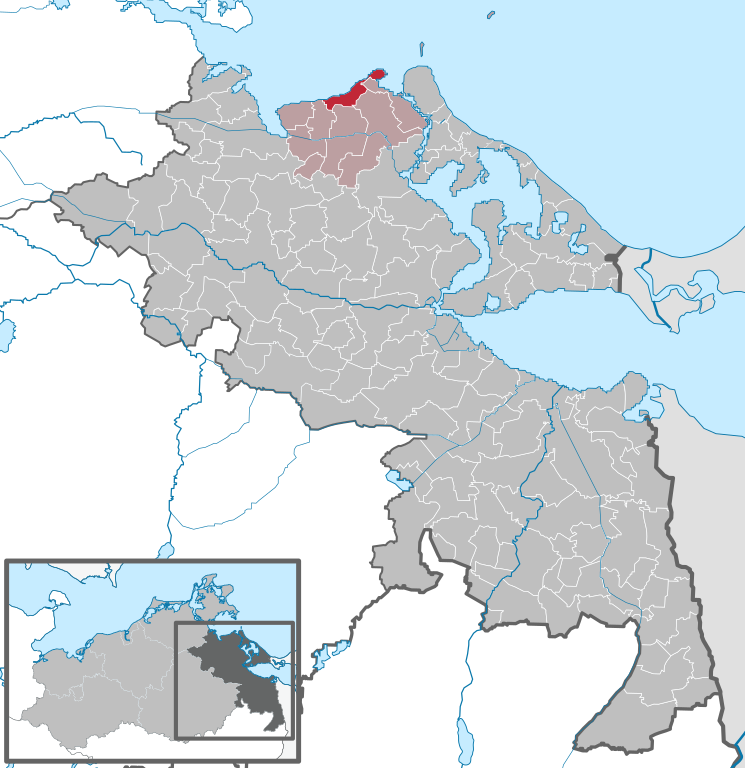
2012-01-01: incorporation of Hohendorf and Buddenhagen to Wolgast, incorporation of Neuendorf A to Ducherow, incorporation of Neuendorf B to Spantekow, incorporation of Putzar to Boldekow, incorporation of Düvier to Loitz, correction (reappearance) of Wa | |
12:54 3 sep 2011 | ![]() | 900 × 928 (959 kB) | <bdi>TUBS</bdi> |
Usos del archivo
La siguiente página usa este archivo:
Uso global del archivo
Las wikis siguientes utilizan este archivo:
- Uso en da.wikipedia.org
- Uso en de.wikipedia.org
- Uso en en.wikipedia.org
- Uso en eo.wikipedia.org
- Uso en fa.wikipedia.org
- Uso en hu.wikipedia.org
- Uso en it.wikipedia.org
- Uso en mk.wikipedia.org
- Uso en nl.wikipedia.org
- Uso en pl.wikipedia.org
- Uso en ro.wikipedia.org
- Uso en sv.wikipedia.org
- Uso en tt.wikipedia.org
- Uso en uk.wikipedia.org
- Uso en www.wikidata.org
- Uso en zh.wikipedia.org