
State Route 170 | ||||
|---|---|---|---|---|
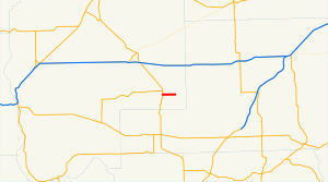 SR 170 is highlighted in red. | ||||
| Route information | ||||
| Auxiliary route of SR 17 | ||||
| Maintained by WSDOT | ||||
| Length | 3.68 mi[1] (5.92 km) | |||
| Existed | 1970[2]–present | |||
| Major junctions | ||||
| West end | ||||
| East end | South Main Avenue in Warden | |||
| Location | ||||
| Country | United States | |||
| State | Washington | |||
| Counties | Grant | |||
| Highway system | ||||
| ||||

State Route 170 (SR 170) is a short, 3.68-mile (5.92 km) long state highway located within Grant County in the U.S. state of Washington. The highway begins at SR 17 west of Warden and travels east to end at Main Avenue in Warden. The current route of the highway was first established in 1967 as Secondary State Highway 11I (SSH 11I) and became SR 170 in 1970 after it was moved north of its previous route, which had been on maps since 1926, named SSH 11A in 1937 and renumbered to SR 170 in 1964. The old route ran from the Columbia River southwest of Basin City to SR 17 north of Mesa.
YouTube Encyclopedic
-
1/3Views:36 7154 34910 510
-
Diverging Diamond Interchange Simulation -- I70 in Washington, Westmoreland counties
-
Chinook Pass Cabins & Property | 16211 State Route 410 Naches, WA | Yakima Real Estate & Homes
-
Yakima, WA Real Estate & Homes for sale in HD - 170 Deer Cove Ln. Naches
Transcription
Route description

State Route 170 (SR 170) begins at SR 17 west of Warden and south of the SR 17 and SR 262 intersection. From SR 17, the highway travels east to cross two pairs of railroad tracks owned by Columbia Basin Railroad, which go south to Connell and north to Moses Lake,[3] to enter Warden. Once the roadway enters Warden, it is named 1st Street and later ends at Main Avenue.[4][5] The busiest segment of the road in terms of vehicle counts was between SR 17 and Warden, with a daily average of 2,800 motorists in 2007;[6] the busiest segment in 1970 was at Main Avenue, with a daily average of 2,100 motorists.[7]
History
In 1967, SSH 11I was established on a short route near Warden.[7][8] The highway became SR 170 in 1970 after it was moved from another route located southwest of Warden.[2] The western railroad crossing was first operated by Northern Pacific Railway while the eastern crossing was operated by the Chicago, Milwaukee, St. Paul and Pacific Railroad in 1963.[9] By 1981, BNSF Railway owned both crossings and as of 2009, the Columbia Basin Railroad operates both.[3][10]
Major intersections
The entire route is in Grant County.
| Location | mi[1] | km | Destinations | Notes | |
|---|---|---|---|---|---|
| | 0.00 | 0.00 | |||
| Warden | 3.68 | 5.92 | South Main Avenue | ||
| 1.000 mi = 1.609 km; 1.000 km = 0.621 mi | |||||
References
- ^ a b Washington State Department of Transportation (2006). "State Highway Log: Planning Report, SR 2 to SR 971" (PDF). Retrieved July 4, 2009.
- ^ a b Washington State Legislature (1970). "RCW 47.17.345: State route No. 170". Retrieved July 4, 2009.
- ^ a b Washington State Rail System (PDF) (Map). Cartography by United States Geological Survey. Washington State Department of Transportation. 2008. Retrieved July 4, 2009.
- ^ Google (July 4, 2009). "State Route 170" (Map). Google Maps. Google. Retrieved July 4, 2009.
- ^ Washington State Highways, 2008–2009 (PDF) (Map) (2008–09 ed.). 1:842,000. Cartography by United States Geological Survey. Washington State Department of Transportation. 2008. § F6. Retrieved July 4, 2009.
- ^ Washington State Department of Transportation (2007). "2007 Annual Traffic Report" (PDF). Retrieved July 4, 2009.
- ^ a b Washington State Highway Commission, Department of Highways (1970). "Annual Traffic Report, 1970" (PDF). Washington State Department of Transportation. p. 148. Retrieved July 4, 2009.
- ^ Washington State Legislature (1967). Session Laws of the State of Washington (1967 ed.). Washington State Legislature.
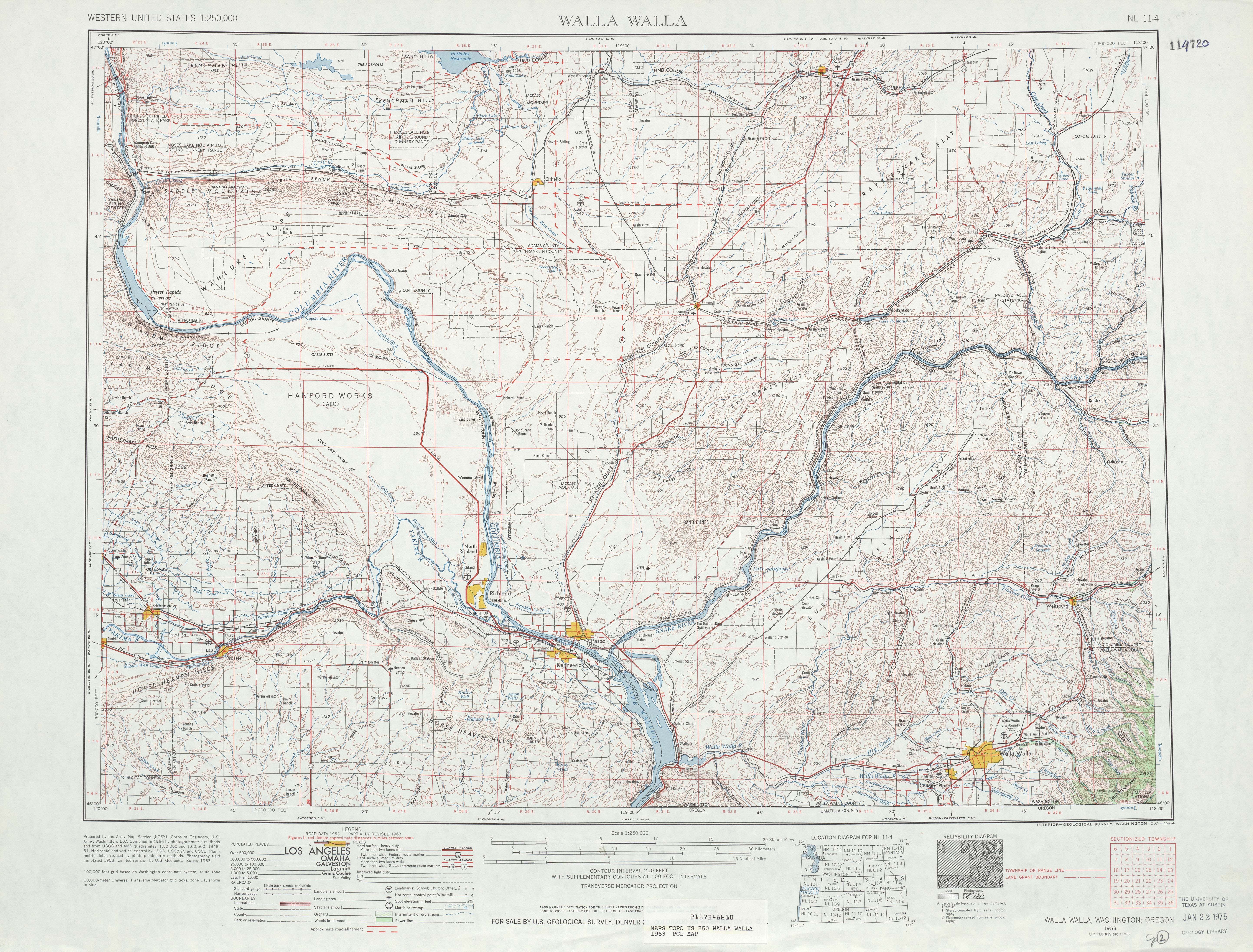
- ^ United States Geological Survey (1963). Walla Walla, 1963 (Map). 1:125,000. University of Texas at Austin. Retrieved July 4, 2009.
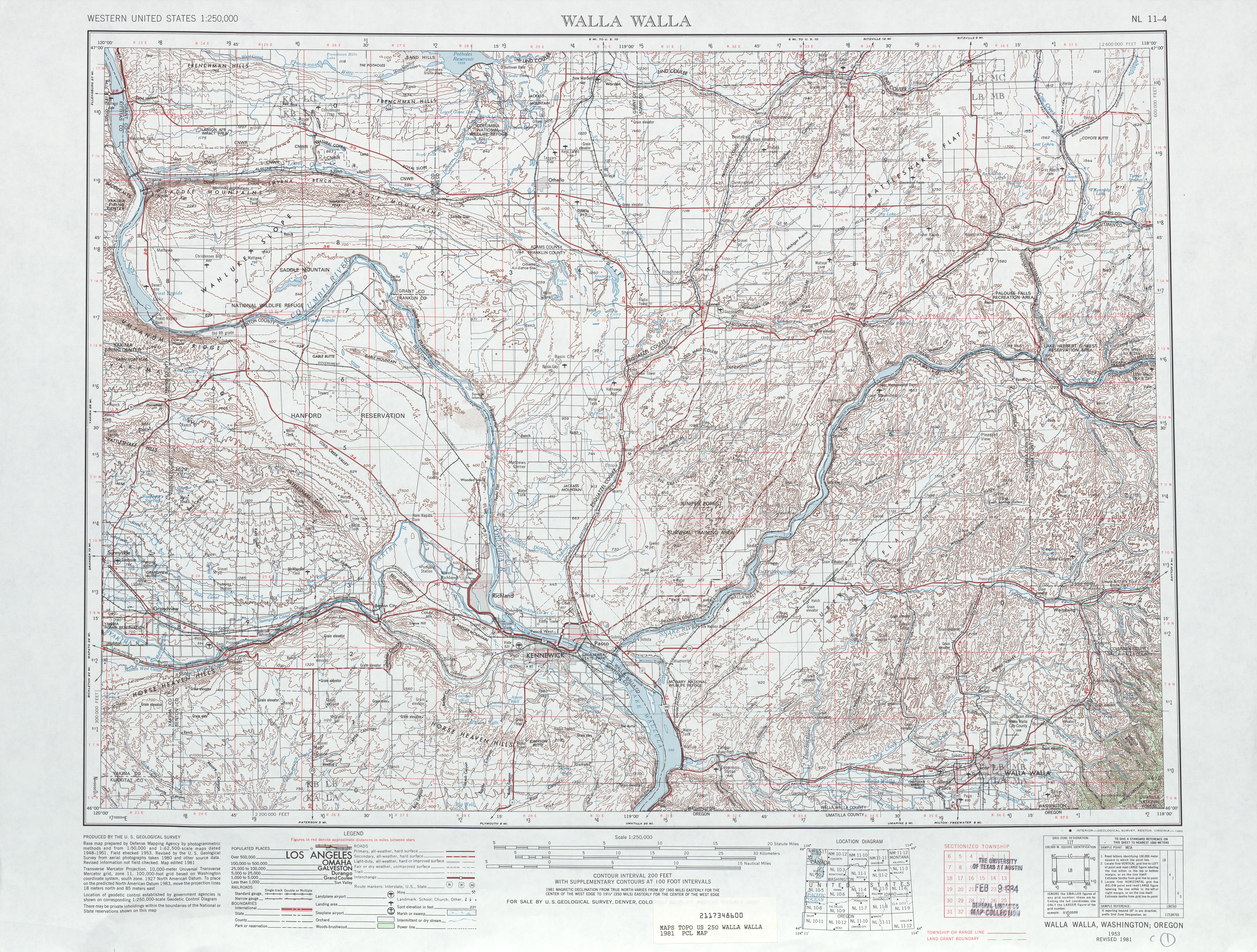
- ^ United States Geological Survey (1981). Walla Walla, 1981 (Map). 1:125,000. University of Texas at Austin. Retrieved July 4, 2009.