
| Waljeers New South Wales | |||||||||||||||
|---|---|---|---|---|---|---|---|---|---|---|---|---|---|---|---|
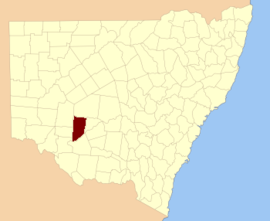 Location in New South Wales | |||||||||||||||
| |||||||||||||||
Waljeers County is one of the 141 Cadastral divisions of New South Wales. It contains the town of Booligal.
The name Waljeers is derived from a local Aboriginal word of the Muthi Muthi tribe.[1]
Lake Waljeers is one of largest lakes located north of the Lachlan River and the river crossing at Thellangering.

Parishes within this county
A full list of parishes found within this county; their current LGA and mapping coordinates to the approximate centre of each location is as follows:
References
- ^ "Waljeers". Geographical Names Register (GNR) of NSW. Geographical Names Board of New South Wales. Retrieved 11 August 2013.