| Disputed reef | |
|---|---|
| Geography | |
| Location | South China Sea |
| Coordinates | 10°55′N 115°55′E / 10.91°N 115.91°E |
| Archipelago | Spratly Islands |
| Claimed by | |
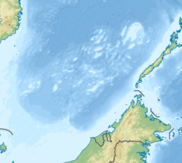
Third Thomas Shoal, known as Banko Thomas in the Philippines, Bãi Đồng Cam in Vietnam, and 和平暗沙 in China, is a reef in the north-west of the Spratly Islands in the South China Sea.
YouTube Encyclopedic
-
1/5Views:674 22499 8381 073 9444 469170 519
-
Who Really Owns the South China Sea?
-
HMS Agamemnon - Guide 139 (Extended)
-
The Sinking of the Andrea Doria
-
Sixth Annual CSIS South China Sea Conference: Briefing & Senator Dan Sullivan Keynote Speech
-
Fort Sumter and the "Third System"
Transcription
Location
It is located 7.5 nautical miles (13.9 km; 8.6 mi) north of Flat island, and 73 nautical miles (135 km; 84 mi) north of Mischief Reef.
The reef is one of three martnamed after Thomas Gilbert, the captain of the Charlotte:
| 09°19′N 115°56′E / 9.317°N 115.933°E, South of the Second Thomas Shoal.[1] | |
| 09°44′N 115°52′E / 9.733°N 115.867°E, South East of Mischief Reef.[1] | |
|
10°54′N 115°56′E / 10.900°N 115.933°E, North East of Flat Island - some distance N of the Second Thomas Shoal.[2] |
References
- ^ a b NGA Chart 93046 - SE Dangerous Ground
- ^ NGA Chart 93045 - NE Dangerous Ground

