
Thaungtha
Taungtha[1] | |
|---|---|
Town | |
 Thaungtha Location in Burma | |
| Coordinates: 21°16′44″N 95°26′48″E / 21.27889°N 95.44667°E | |
| Country | |
| Division | |
| District | Myingyan District |
| Township | Thaungtha Township |
| Population (2005) | |
| • Religions | Buddhism |
| Time zone | UTC+6.30 (MST) |
Taungtha[1] or Thaungtha is a town in the Mandalay Division of central Myanmar. It located south-west of the volcanic cone[2] Mount Taungtha (1788 ft) and above the right (east) bank of the Sindewa (Sintewa) River.There are six quarters in Taungtha township.[3] Taungtha is the administrative seat for Taungtha Township, and is on both the Taunggyi–Myingyan railway and the Meiktila–Myingyan highway.[3] It is also on the Western Trunk Road from Kyaukpadaung to Natogyi.[3]
Economics
Taungtha is in the cotton growing area of Burma[4] and the China World Best Group completed a garment factory there in 2006.[5] The main occupation of Taungtha is growing onion in the bank of Sintelwa. Besides, there also have been cultivation of varieties of bean, corn, etc. (ref: Record of Taungtha Township.)
Notes
- ^ a b "Taungtha (Approved)" Taungtha, Mandalay at GEOnet Names Server United States National Geospatial-Intelligence Agency
- ^ Barber, Cecil Thomas (1936) The Tertiary igneous rocks of the Pakokku district and the Salingyi township of the lower Chindwin district, Burma Geological Survey of India, Calcutta, India, page 134, OCLC 11031035
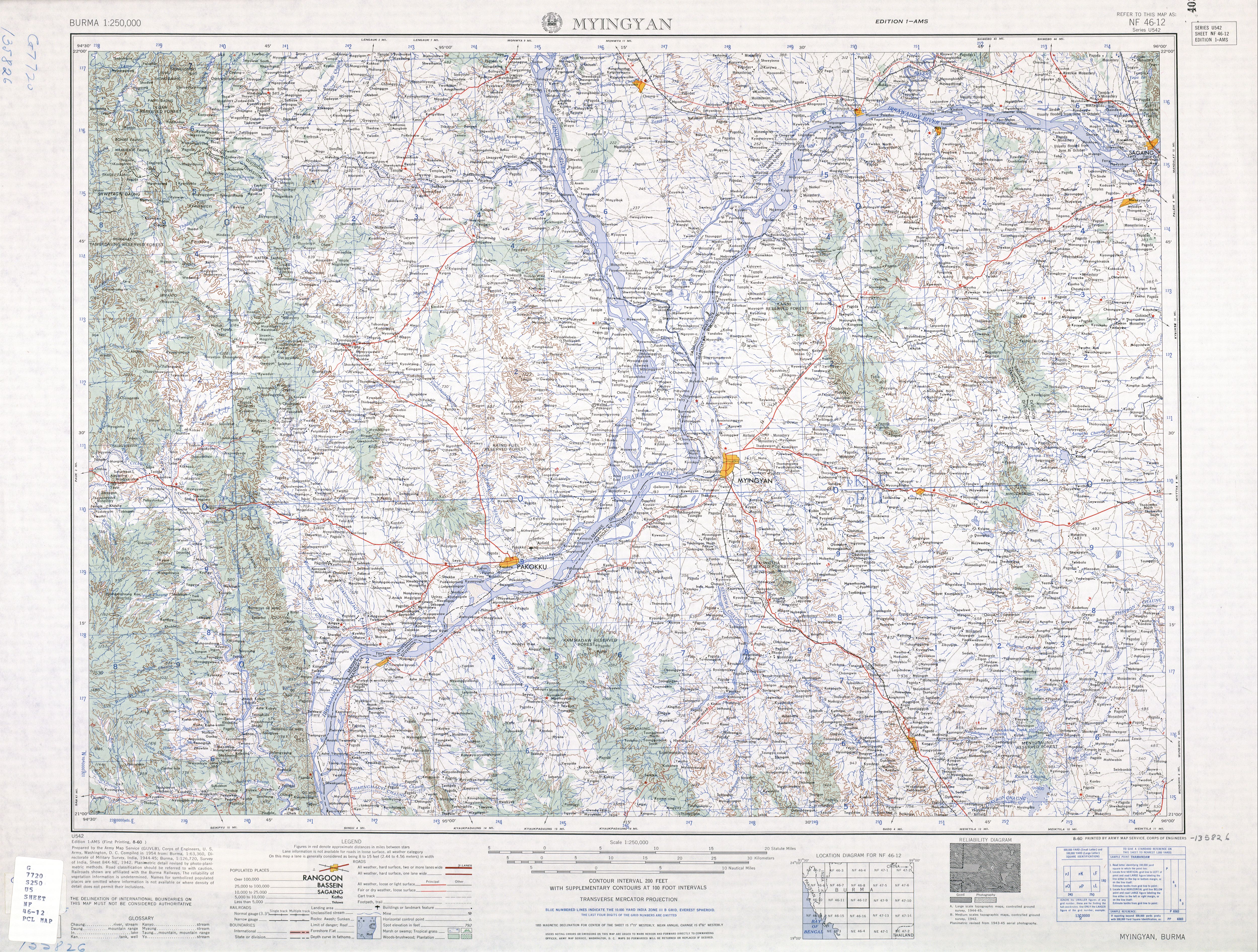
- ^ a b c Burma 1:250,000 topographic map, Series U542, NF 46-12 Myingyin U.S. Army Map Service, August 1960
- ^ Hunter, William Wilson (editor) (1908) Imperial gazetteer of India, Volume 18, Moram to Nayagarh Clarendon Press, Oxford, England, page 126, Now, the economy of Taungtha is completely not depend on cotton growing. There are many cash crops are grown in Taungtha township such as onion, various kind of bean etc. OCLC 313474408
- ^ Kudo, Toshihiro (2008) "Myanmar's economic relations with China: who benefits and who pays?" pp. 87–112 In Skidmore, Monique and Wilson, Trevor (editors) (2008) Dictatorship, Disorder and Decline in Myanmar ANU E Press, Canberra, page 101, ISBN 978-1-921536-32-8
External links
- "Taungtha Area, Mandalay Division"[permanent dead link] map ID: MIMU536v01, creation date: 18 August 2010, Myanmar Information Management Unit (MIMU)
- Satellite map at Maplandia.com
Capital: Mandalay | ||
| Kyaukse District |   | |
| Mandalay District | ||
| Meiktila District | ||
| Myingyan District | ||
| Nyaung-U District | ||
| Pyinoolwin District | ||
| Yamethin District | ||
| Main cities and towns | ||
This Mandalay Region location article is a stub. You can help Wikipedia by expanding it. |