
   | |
|---|---|
| Tagaytay–Nasugbu Road | |
 A segment of the road in Tagaytay | |
| Route information | |
| Maintained by Department of Public Works and Highways - Cavite 2nd District Engineering Office and Batangas 1st District Engineering Office | |
| Length | 43.86 km (27.25 mi) |
| Component highways | |
| Major junctions | |
| East end | |
| |
| West end | |
| Location | |
| Country | Philippines |
| Provinces | Batangas, Cavite |
| Major cities | Calaca, Tagaytay |
| Towns | Alfonso, Laurel, Nasugbu, Tuy |
| Highway system | |
| |
The Tagaytay–Nasugbu Highway, alternatively known as Tagaytay–Nasugbu Road and formerly as Tagaytay–Tuy–Nasugbu Port Road, is a 43.86-kilometer (27.25 mi), two-to-four lane, secondary highway in the provinces of Cavite and Batangas, Philippines, that connects the city of Tagaytay in Cavite and the municipality of Nasugbu in Batangas.[1][2]
The entire road forms part of National Route 410 (N410) from Tagaytay to Calaca and National Route 407 (N407) of the Philippine highway network from Calaca to Nasugbu.
Route description

The highway starts at Tagaytay Rotunda, where it intersects with Aguinaldo Highway, Tagaytay–Calamba Road and Tagaytay–Talisay Road in Tagaytay, Cavite. It then runs to the west along the Tagaytay Ridge, eventually traversing the boundary of Alfonso, Cavite and Laurel, Batangas. It then fully enters the province of Batangas, where it traverses north of Mount Batulao, the city of Calaca, and the towns of Nasugbu and Tuy. It re-enters Nasugbu, where it ends at the intersection with J.P. Laurel Street (Ternate–Nasugbu Road) and Nasugbu–Lian–Calatagan Road.
Alternate names
The highway's segment from Palico Rotonda to its western terminus in Nasugbu is also known as Palico-Nasugbu Highway or Tuy-Nasugbu Highway. Its segment in Cavite is also known as Emilio Aguinaldo Highway or simply as Aguinaldo Highway, named after General Emilio Aguinaldo, the country's first president and a native of Cavite. According to the Department of Public Works and Highways, its segment from its eastern terminus at Tagaytay Rotonda to the eastern end of Mahogany Avenue, both in Tagaytay, is part of the Tagaytay–Manila via Silang Road, while its segment from there to Diokno Highway is officially named as Tagaytay-Batangas via Tuy Road; the rest of the highway is officially named as is.[3]
History
The highway originally existed as the Lumbangan–Palico (Nasugbu–Tuy) section of Batangas–Bauan–Nasugbu Road, an old road which linked Nasugbu with Batangas. The section was constructed in the mid-1910s.[4] A new road that connects Tuy to the newly-established city of Tagaytay was later constructed in the 1930s and was made part of the highway.[5][6] The latter also formed part of Highway 17 that linked Imus with Batangas.[7][8][9] The entire stretch of the highway was also referred to as Tagaytay-Tuy-Nasugbu Port Road.[10]
Intersections
Intersections are numbered by kilometer post, with Rizal Park in Manila designated as Kilometer 0.
| Province | City/Municipality | km | mi | Destinations | Notes |
|---|---|---|---|---|---|
| Cavite | Tagaytay | 58.178 | 36.150 | Roundabout. Eastern terminus. | |
| 58.010 | 36.046 | Southern end of Tagaytay–Manila via Silang Road. Start of Tagaytay-Batangas via Tuy Road. | |||
| Crisanto Mendoza de los Reyes Avenue – Amadeo | |||||
| 60.630 | 37.674 | ||||
| 61.690 | 38.332 | ||||
| Cavite–Batangas boundary | Alfonso–Laurel boundary | Indang–Alfonso Road – Alfonso, Indang | |||
| Alfonso–Calaca boundary | 72.017 | 44.749 | Cavite 2nd District Engineering Office–Batangas 1st District Engineering Office highway boundary. | ||
| Batangas | Calaca | 71.078 | 44.166 | Route number changes from N410 to N407. End of Tagaytay-Batangas via Tuy Road. | |
| Nasugbu–Tuy boundary | 91.276 | 56.716 | Bayudbud Bridge over Bayudbud River | ||
| Tuy | 92.917 | 57.736 | Cacauan Bridge | ||
| Roundabout (Palico Rotonda). Start of Palico-Nasugbu Highway. | |||||
| Tuy–Nasugbu boundary | 93.522 | 58.112 | Palico Bridge over Palico River | ||
| Nasugbu | 103.682 | 64.425 | Roundabout. Western terminus. | ||
1.000 mi = 1.609 km; 1.000 km = 0.621 mi
| |||||
References
- ^ "Batangas 1st". Department of Public Works and Highways. Retrieved January 12, 2018.
- ^ "Cavite 2nd". Department of Public Works and Highways. Retrieved January 9, 2018.
- ^ "Road and Bridge Inventory". Department of Public Works and Highways. Retrieved September 29, 2021.
- ^ Buhay Batangas (January 4, 2018). "Map of Batangas Road System c. 1914". Batangas History, Culture and Folklore. Retrieved January 29, 2022.
- ^ Buhay Batangas (January 24, 2018). "A 1930 Batangas Road Trip Guide". Batangas History, Culture and Folklore. Retrieved January 29, 2022.
- ^ Buhay Batangas (January 1, 2018). "United States OSS Map of Batangas, 1945". Batangas History, Culture and Folklore. Retrieved January 29, 2022.
- ^ Southern Luzon Western Sheet (Map). 1:200000. Washington D.C.: US Geodetic Survey. 1941. Retrieved July 31, 2021.
- ^ 1944 Army Map Service Road Map of Northern Luzon, Philippines (Map). 1:1000000. Washington D.C.: Army Map Service. 1944. Retrieved July 31, 2021.
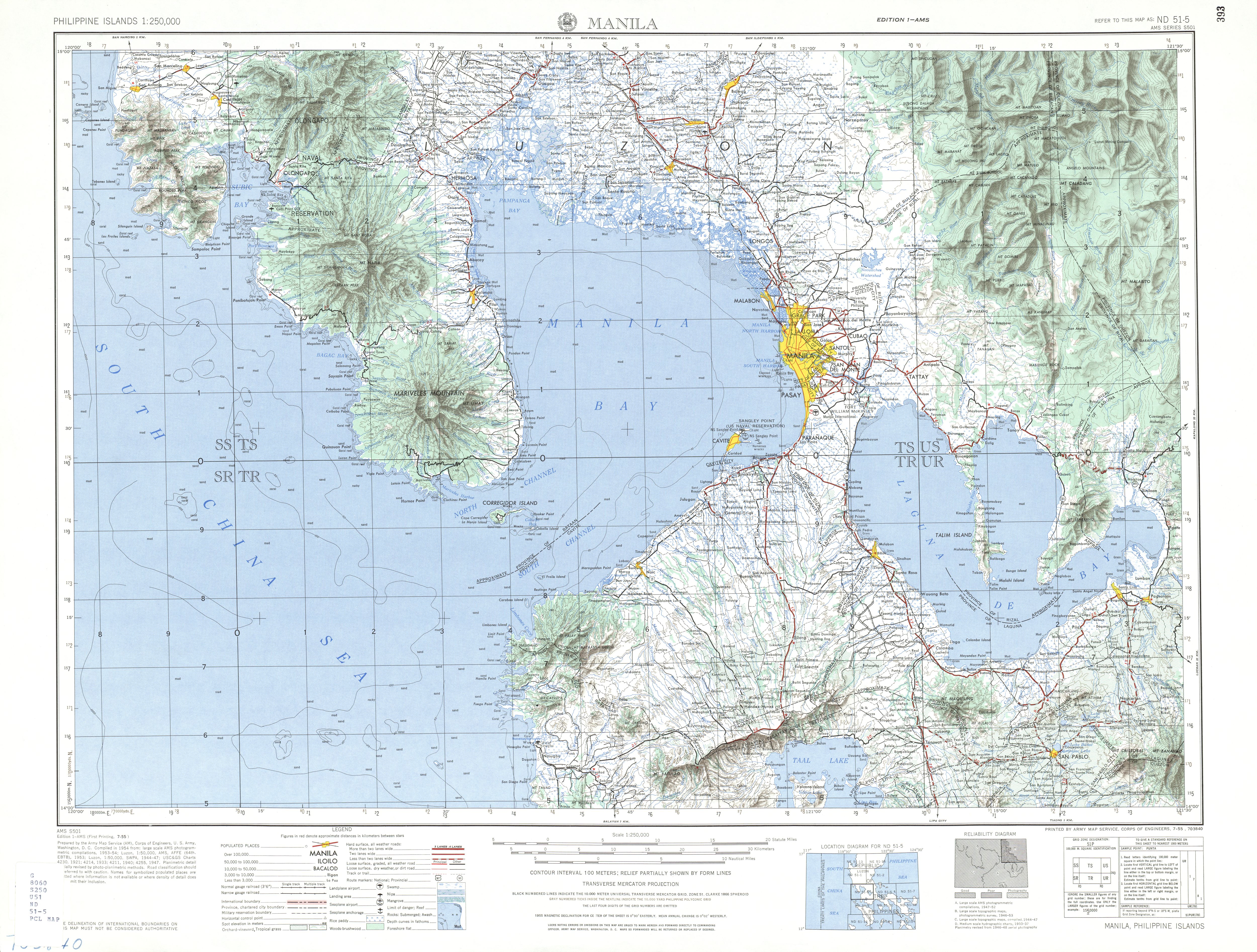
- ^ ND 51-5 Manila (Map). 1:250,000. Washington D.C.: Army Map Service, Corps of Engineers. 1954. Retrieved November 21, 2021.
- ^ Executive Order No. 113 (May 2, 1955), Establishing the Classification of Roads, retrieved September 29, 2021
| Expressways |
| ||||||
|---|---|---|---|---|---|---|---|
| National roads |
| ||||||
| Expressways |
| ||||||||
|---|---|---|---|---|---|---|---|---|---|
| National roads |
| ||||||||
| Arterial Routes |
| ||||||||
This Philippine road or road transport-related article is a stub. You can help Wikipedia by expanding it. |