
Sturgeon Lake 101 | |
|---|---|
| Sturgeon Lake Indian Reserve No. 101 | |
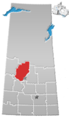
 Location in Saskatchewan | |
| First Nation | Sturgeon Lake |
| Country | Canada |
| Province | Saskatchewan |
| Area | |
| • Total | 8,889 ha (21,965 acres) |
| Population (2016)[2] | |
| • Total | 1,174 |
| • Density | 13/km2 (34/sq mi) |
| Community Well-Being Index[3] | 43 |
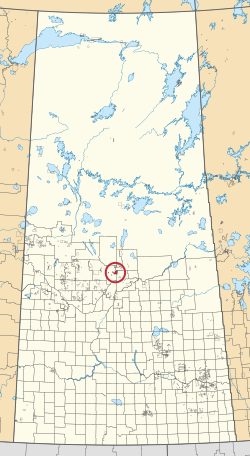
Sturgeon Lake 101 is an Indian reserve of the Sturgeon Lake First Nation in Saskatchewan.[1][4] It is about 29 kilometres (18 mi) north-west of Prince Albert on the shores of Sturgeon Lake. In the 2016 Canadian Census, it recorded a population of 1174 living in 287 of its 293 total private dwellings.[2] In the same year, its Community Well-Being index was calculated at 43 of 100, compared to 58.4 for the average First Nations community and 77.5 for the average non-Indigenous community.[3]
See also
References
- ^ a b "Reserve/Settlement/Village Detail". Crown–Indigenous Relations and Northern Affairs Canada. Government of Canada. 14 November 2008. Retrieved 12 August 2019.
- ^ a b "Census Profile, 2016 Census". Statistics Canada. 8 February 2017. Retrieved 10 August 2019.
- ^ a b "The Community Well-Being index". Indigenous Services Canada. 24 May 2019. Retrieved 9 October 2019.
- ^ "Canada Lands Survey System - CLSS Map Browser". Natural Resources Canada. 13 December 2013. Retrieved 9 October 2019.
53°23′48″N 106°03′36″W / 53.3968°N 106.06°W
This article about a location in the Census Division No. 16 of Saskatchewan is a stub. You can help Wikipedia by expanding it. |
This article about an Indian reserve in Saskatchewan is a stub. You can help Wikipedia by expanding it. |