
Punkalaidun | |
|---|---|
Municipality | |
| Punkalaitumen kunta Punkalaiduns kommun | |
 The Municipal House | |
 Coat of arms | |
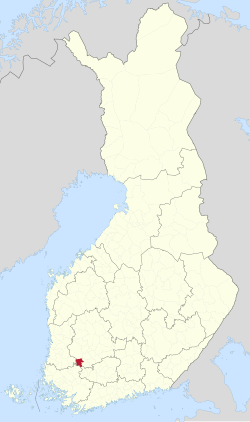 Location of Punkalaidun in Finland | |
| Coordinates: 61°06.7′N 023°06.3′E / 61.1117°N 23.1050°E | |
| Country | |
| Region | Pirkanmaa |
| Sub-region | South Western Pirkanmaa sub-region |
| Charter | 1639 |
| Government | |
| • Municipal manager | Jyrki Moilanen |
| Area (2018-01-01)[1] | |
| • Total | 364.02 km2 (140.55 sq mi) |
| • Land | 361.1 km2 (139.4 sq mi) |
| • Water | 2.95 km2 (1.14 sq mi) |
| • Rank | 213th largest in Finland |
| Population (2023-09-30)[2] | |
| • Total | 2,646 |
| • Rank | 229th largest in Finland |
| • Density | 7.33/km2 (19.0/sq mi) |
| Population by native language | |
| • Finnish | 96.9% (official) |
| • Swedish | 0.1% |
| • Others | 3% |
| Population by age | |
| • 0 to 14 | 12.4% |
| • 15 to 64 | 51.4% |
| • 65 or older | 36.2% |
| Time zone | UTC+02:00 (EET) |
| • Summer (DST) | UTC+03:00 (EEST) |
| Website | www.punkalaidun.fi |
Punkalaidun (Swedish: Punkalaidun, also Pungalaitio) is a municipality of Finland.
It is located in the province of Western Finland and is part of the Pirkanmaa region. The municipality has a population of 2,646 (30 September 2023)[2] and covers an area of 364.02 square kilometres (140.55 sq mi) of which 2.95 km2 (1.14 sq mi) is water.[1] The population density is 7.33 inhabitants per square kilometre (19.0/sq mi).
Neighbouring municipalities are Huittinen, Humppila, Loimaa, Urjala, and Sastamala.
The municipality is unilingually Finnish.
YouTube Encyclopedic
-
1/3Views:1 7038541 146
-
Talonpoikaismuseo Yli-Kirra #03, Punkalaidun
-
X-mas Punkalaidun 2015
-
Talonpoikaismuseo Yli-Kirra #01, Punkalaidun
Transcription
Villages
- Hakuni
- Halkivaha
- Hankuri
- Haviokoski
- Jalasjoki
- Kannisto
- Kanteenmaa
- Kivisenoja
- Kokkola
- Koskioinen
- Kostila
- Kouvola
- Liitsola
- Moisio
- Mäenpää
- Oriniemi
- Parrila
- Sarkkila
- Suttila
- Pärnänmaa
- Talala
- Teikarla
- Vanttila
References
- ^ a b "Area of Finnish Municipalities 1.1.2018" (PDF). National Land Survey of Finland. Retrieved 30 January 2018.
- ^ a b "Preliminary population statistics 2023, September". StatFin. Statistics Finland. Retrieved 26 October 2023.
- ^ "Demographic Structure by area as of 31 December 2022". Statistics Finland's PX-Web databases. Statistics Finland. Retrieved 6 September 2023.
- ^ "Population according to age (1-year) and sex by area and the regional division of each statistical reference year, 2003–2020". StatFin. Statistics Finland. Retrieved 2 May 2021.
- ^ a b "Luettelo kuntien ja seurakuntien tuloveroprosenteista vuonna 2023". Tax Administration of Finland. 14 November 2022. Retrieved 7 May 2023.
External links
![]() Media related to Punkalaidun at Wikimedia Commons
Media related to Punkalaidun at Wikimedia Commons
- Municipality of Punkalaidun – Official website (in Finnish)
- Villages
Places adjacent to Punkalaidun | ||||||||||||||||
|---|---|---|---|---|---|---|---|---|---|---|---|---|---|---|---|---|
| ||||||||||||||||
| Municipalities |  | |
|---|---|---|
| Former municipalities |
| |
| International | |
|---|---|
| National | |
| Geographic | |
This Western Finland location article is a stub. You can help Wikipedia by expanding it. |