

Pequea Creek (/ˈpɛkweɪ/ PECK-way; Pennsylvania German: Beckweh Grick) is a tributary of the Susquehanna River that runs for 49.2 miles (79.2 km)[1] from the eastern border of Lancaster County and Chester County, Pennsylvania to the village of Pequea, about 5 miles (8 km) above the hydroelectric dam at Holtwood along the Susquehanna River in Lancaster County.
YouTube Encyclopedic
-
1/3Views:1 120396645
-
susies hole 2
-
Herr's Mill Covered Bridge - The Kissing Bridge Pennsylvania Dutch Country
-
Largest Tectonic Cave in PA: Wind Cave
Transcription
History and notable features
The name of the creek is Shawnee for "dust" or "ashes", referring to a clan that once dwelt at the mouth of the creek.[2]
The stream flows through a pastoral landscape farmed extensively by Pennsylvania German farmers, generally members of Mennonite, Amish, and German-speaking Reformed churches. The Old Order Amish in this watershed were historically called Peckwayers to distinguish them from other Amish who lived along the Conestoga River watershed.
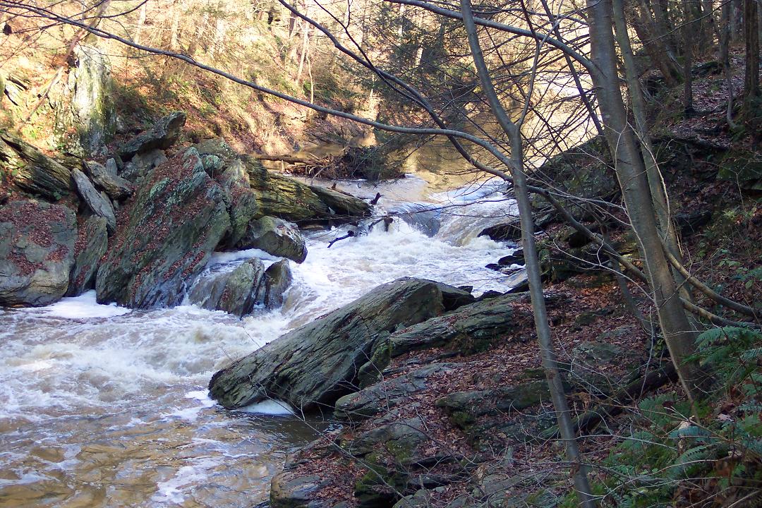
The course of the stream is generally flat, though the last 2.5 miles (4.0 km) flow through a steeper, wooded gorge, rapidly changing from a placid stream to a twisting flume until reaching the last mile, which is backwater from the Susquehanna.
See also
References
- ^ U.S. Geological Survey. National Hydrography Dataset high-resolution flowline data. The National Map, accessed August 8, 2011
- ^ "Indian Names Data Chart" (PDF). Susquehanna River Basin Commission. Retrieved 2006-09-04.
External links
- U.S. Geological Survey: PA stream gaging stations
- Old postcard view of Pequea Creek along trolley line near Colemanville, PA
- Pequea Creek rapids
- history of Conestoga, PA along the Pequea


39°53′17″N 76°22′02″W / 39.8880°N 76.3673°W