
 | ||||
|---|---|---|---|---|
| Bokmål: Fylkesvei 774 Nynorsk: Fylkesveg 774 | ||||
 | ||||
| Route information | ||||
| Maintained by Statens vegvesen | ||||
| Length | 4.2 km (2.6 mi) | |||
| Major junctions | ||||
| East end | ||||
| Levanger–Hokstad Ferry | ||||
| West end | ||||
| Location | ||||
| Country | Norway | |||
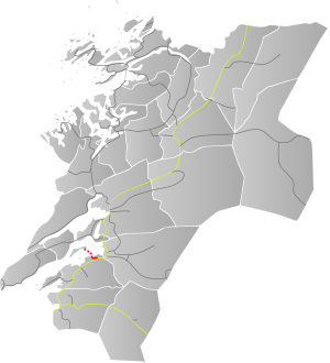
| Counties | Trøndelag | |||
| Major cities | Levanger | |||
| Highway system | ||||
| ||||
| ||||
Norwegian County Road 774 (Norwegian: Fylkesvei 774) is a 4.2-kilometre (2.6 mi) long county road in the municipality of Levanger in Trøndelag county, Norway. It begins at the junction with the European route E06 highway at the village of Mule. It then heads into and through parts of the town of Levanger. There, the road continues as the Levanger–Hokstad Ferry operated by Tide Sjø to the village of Hokstad on the island of Ytterøya. After the ferry, the road changes to Norwegian County Road 135.[1]
Before 1 January 2010, it was known as Norwegian national road 774 (Riksvei 774), but control was transferred to the county so now it is a Norwegian county road (Fylkesvei).
YouTube Encyclopedic
-
1/3Views:1 472859388
-
Norway: Fv. 55 Sognefjellet - Skjolden [scenic road]
-
Tunneleita Nordlandissa – Tunnels in Nordland district, Norway
-
Seashore Road (CR 626) northbound
Transcription
Path from east to west
 ←
← E6 Mule (eastern terminus)
 Fv134→ to Røstadlia (and E6 at Salthammer)
- ←
 Fv128 to E6 at Lysaker
  Levangselva bridge
 Fv125 to Kirkegata in the town of Levanger
 Levanger–Hokstad Ferry with service to the island of Ytterøya (11 trips per day, 30 minute voyage)
- ←
 Fv135 (western terminus)
References
- ^ "Vegliste 2011 Fylkes- og Kommunale Veger: Nord-Trøndelag" (in Norwegian). Statens Vegvesen. Retrieved 2011-05-23.
63°45′00″N 11°18′32″E / 63.74998°N 11.30878°E
This Norwegian road or road transport-related article is a stub. You can help Wikipedia by expanding it. |
This Trøndelag location article is a stub. You can help Wikipedia by expanding it. |