
Nezla
ﻧﺰﻟﺔ | |
|---|---|
Commune and town | |
 | |
 Nezla | |
| Coordinates: 33°5′0″N 6°3′5″E / 33.08333°N 6.05139°E | |
| Country | |
| Province | Touggourt Province |
| District | Touggourt District |
| Established[1] | 1984 |
| Area | |
| • Total | 132.15 km2 (51.02 sq mi) |
| Elevation | 68 m (223 ft) |
| Population (2008)[2] | |
| • Total | 51,674 |
| • Density | 390/km2 (1,000/sq mi) |
| Time zone | UTC+1 (CET) |
Nezla (Arabic: ﻧﺰﻟﺔ) is a town and commune in Touggourt District, Touggourt Province, Algeria. According to the 2008 census it has a population of 51,674,[2] up from 40,524 in 1998,[3] and an annual population growth rate of 2.5%.[2] Nezla is part of the urban area of Touggourt, and forms much of the southern area of that city. Agriculture is the main industry of the region, along with some tourism.[1] The Sidi Madhi Airport is found in Nezla commune, and serves Touggourt and the surrounding areas.
YouTube Encyclopedic
-
1/3Views:2 7434 5303 213
-
شاهد هدف تعادل لشبيبة القبائل في اللحظات الاخيرة وفرحة اللاعبين 2-2 نابسا ستار jsk 2-2 napsa stars
-
Dda Makhlouf au village Nezla qui célèbre Yennayer 2961
-
ALGERIA Nezla blow ouT 1
Transcription
Localities
The commune is composed of five localities:[4]
- Nezla
- Boumerdès
- Sidi Boudjenane
- Aïn Sahra
- Sidi Madhi
References
- ^ a b c "Official website of the province of Ouarbla - Nezla" (in Arabic). Retrieved 25 February 2013.
- ^ a b c "Population: Ouargla Wilaya" (PDF) (in French). Office National des Statistiques Algérie. Retrieved 24 February 2013.
- ^ "Algeria Communes". Statoids. Retrieved 8 March 2013.
- ^ "Décret n° 84-365, fixant la composition, la consistance et les limites territoriale des communes. Wilaya d'El Oued" (PDF) (in French). Journal officiel de la République Algérienne. 19 December 1984. p. 1551. Archived from the original (PDF) on 2 March 2013. Retrieved 2 March 2013.
Neighbouring towns and cities
Places adjacent to Nezla | |
|---|---|
Capital: Ouargla | ||
| Ouargla District | 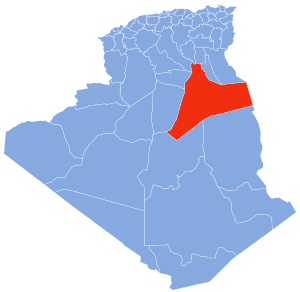 | |
| El Borma District | ||
| El Hadjira District | ||
| Hassi Messaoud District | ||
| Mégarine District | ||
| N'Goussa District | ||
| Sidi Khouïled District | ||
| Taïbet District | ||
| Témacine District | ||
| Touggourt District | ||
33°5′N 6°3′E / 33.083°N 6.050°E
This article about a location in Ouargla Province is a stub. You can help Wikipedia by expanding it. |