

33°36′30″N 117°54′33″W / 33.60833°N 117.90917°W
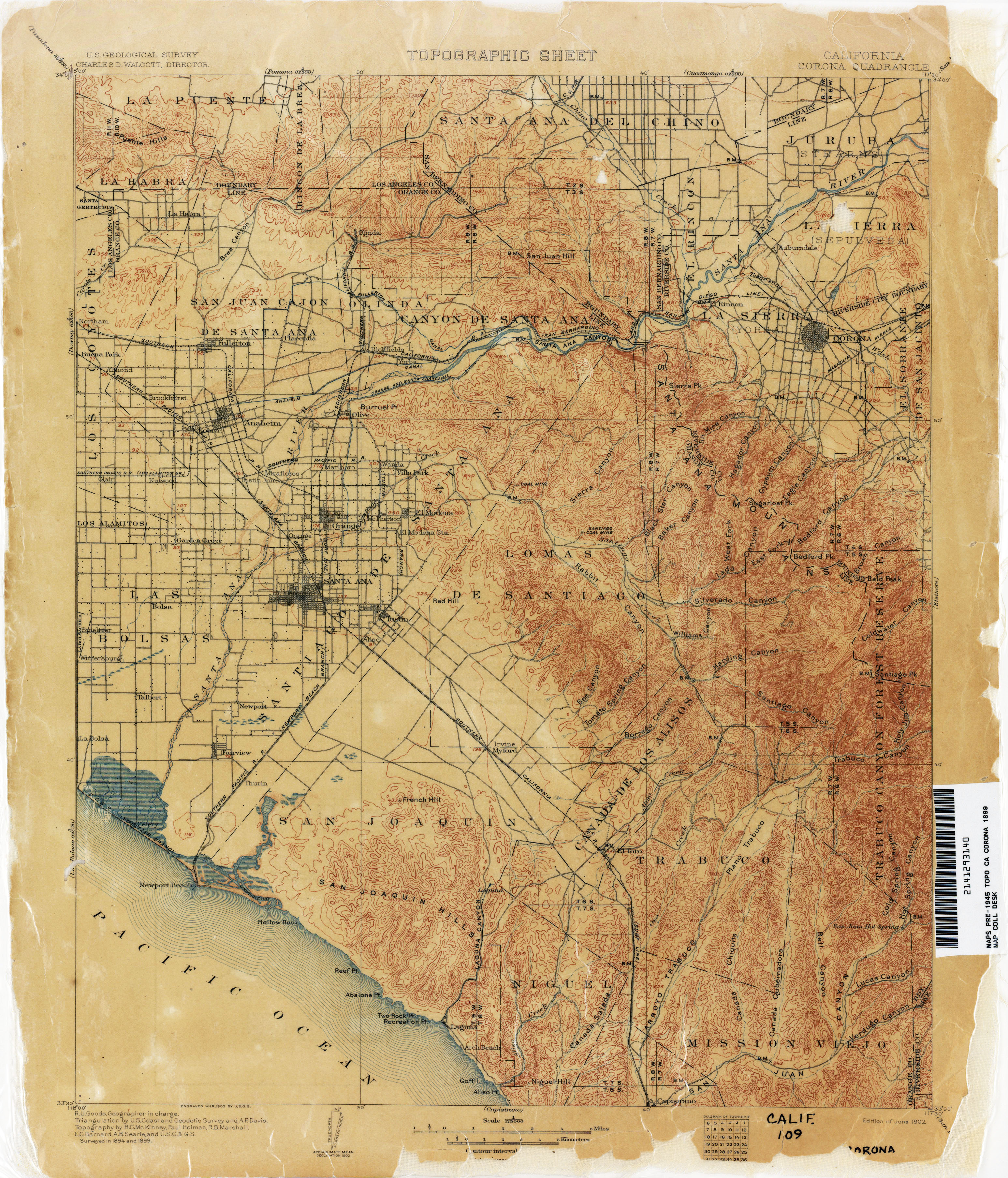
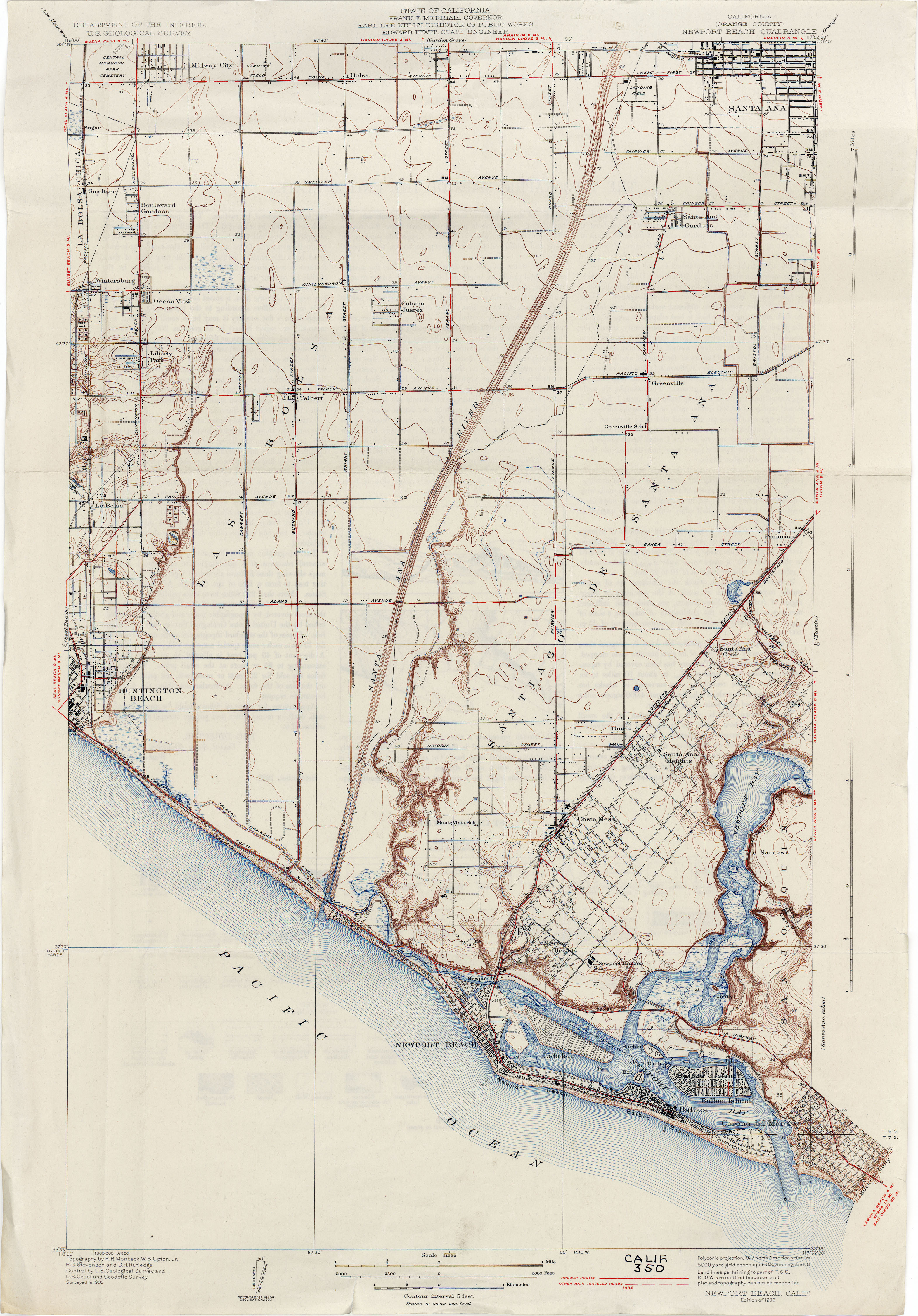
Newport Bay, in Southern California, United States, is the lower bay formed along the coast below the Upper Newport Bay, after the end of the Pleistocene. It was formed by sand, brought by ocean currents from the Santa Ana River and other rivers to the north, which constructed an offshore beach, now called the Balboa Peninsula.[1] The bay was named by the Spanish Bolsa de Gengar in the 18th century, to refer to the nearby Tongva and Acjachemen village of Genga.[2] An estuary of the Santa Ana River in the late 19th century, it was dredged to form Newport Harbor, the harbor of Newport Beach.[1][3][4]

YouTube Encyclopedic
-
1/3Views:16 25416 203711
-
Early History of Newport Harbor
-
Premier Harbor Front Estate in Newport Beach, California | Sotheby's International Realty
-
Newport Bay and Balboa Fun Zone | Newport Beach CA | 4K Walking Tour
Transcription
References
- ^ a b USGS Map Name: Corona, CA 1899 1:125,000; Perry–Castañeda Library Map Collection; California Topographic Maps from http://www.lib.utexas.edu accessed 4/25/2013
- ^ Koerper, Henry; Mason, Roger; Peterson, Mark (2002). Catalysts to complexity : late Holocene societies of the California coast. Jon Erlandson, Terry L. Jones, Jeanne E. Arnold, Cotsen Institute of Archaeology at UCLA. Los Angeles: Cotsen Institute of Archaeology at UCLA. p. 64. ISBN 978-1-938770-67-8. OCLC 745176510.
- ^ USGS Map Name: Newport Beach (Orange County), Calif., 1932, (1927 data), 1:31,680; Perry–Castañeda Library Map Collection; California Topographic Maps from http://www.lib.utexas.edu accessed 8/30/2013
- ^ Newport Bay, California, on USGS Map Name: Newport Beach, CA, Map Center: N33° 36' 30" W117° 54' 33" from topoquest.com accessed on 4/23/2013
This Orange County, California–related article is a stub. You can help Wikipedia by expanding it. |