

Muotkavaara (Finnish name; Norwegian: Krokfjell;[1] Russian: Муоткавара[2] or Муоткаваара,[3] Northern Sami: Muotkevárri, Inari Sami: Myetkivääri) is a hill in Lapland at the boundary between Finland, Norway and Russia. It is the second northernmost international tripoint in the world; the tripoint of Finland, Norway and Sweden is 900 metres closer to the North. The Finnish side belongs to the Inari municipality, the Norwegian side belongs to Sør-Varanger and the Russian side belongs to Nikel. The peak (169 metres (554 ft)) is in Norway.[4][5]
The Sami name (muotke, myetki) refers to an isthmus between waters.[6]
YouTube Encyclopedic
-
1/3Views:1 6561 254499
-
KVR2015Norja
-
Päiväni Oamkissa: visuaalinen suunnittelu
-
Finnland - Holiday
Transcription
Tripoint cairn
Treriksrøysa, a rock cairn at the tripoint was erected in 1846.[7] A concrete tetrahedron was added on the top in 1945.[8][9]
The border of Norway and Russia was demarcated in 1826, while Finland was an autonomous part of Russia. Further in 1833 it was ruled that the border between Grand Duchy of Finland and Russia proper meets the Norwegian border at "Mutkavaara" (Muotkavaara).[10]
Between 1920 and 1944, when Petsamo was part of Finland, there was no tripoint, since Norway and Russia did not share a border. Muotkavaara became a tripoint again in 1944, when Finland ceded Petsamo to the Soviet Union in the Moscow Armistice. The border was further modified in 1947 when Finland sold the Jäniskoski area to the Soviet Union. Since then the border between Finland and Soviet Union (now Russia) is oriented to the south-west from the Muotkavaara tripoint.
In fact, because this place across 3 different countries with 3 different time zones,(Norway uses UTC+1, Finland uses UTC +2 and Russia uses UTC+3 in that area), so it is also known for its time zone tripoint (the time zone tripoint only works in the winter when it’s freezing in that place, because Finland and Russia both uses UTC +3 at summer, while Norway uses UTC+2).
The tripoint is most easily reached from Grensefoss on the Norwegian side, around 5 km hike each way.
Outdooring
The Norwegian side of Muotkavaara is part of Øvre Pasvik National Park. The Finnish side is slightly outside the Vätsäri Wilderness Area.[11] There is a joint name for the contiguous natural reserve area: Pasvik–Inari Trilateral Park. (69°03.115′N 28°55.758′E / 69.051917°N 28.929300°E)
References
- ^ Svein Askheim. "Krokfjell". Store norske leksikon. Retrieved October 1, 2016.
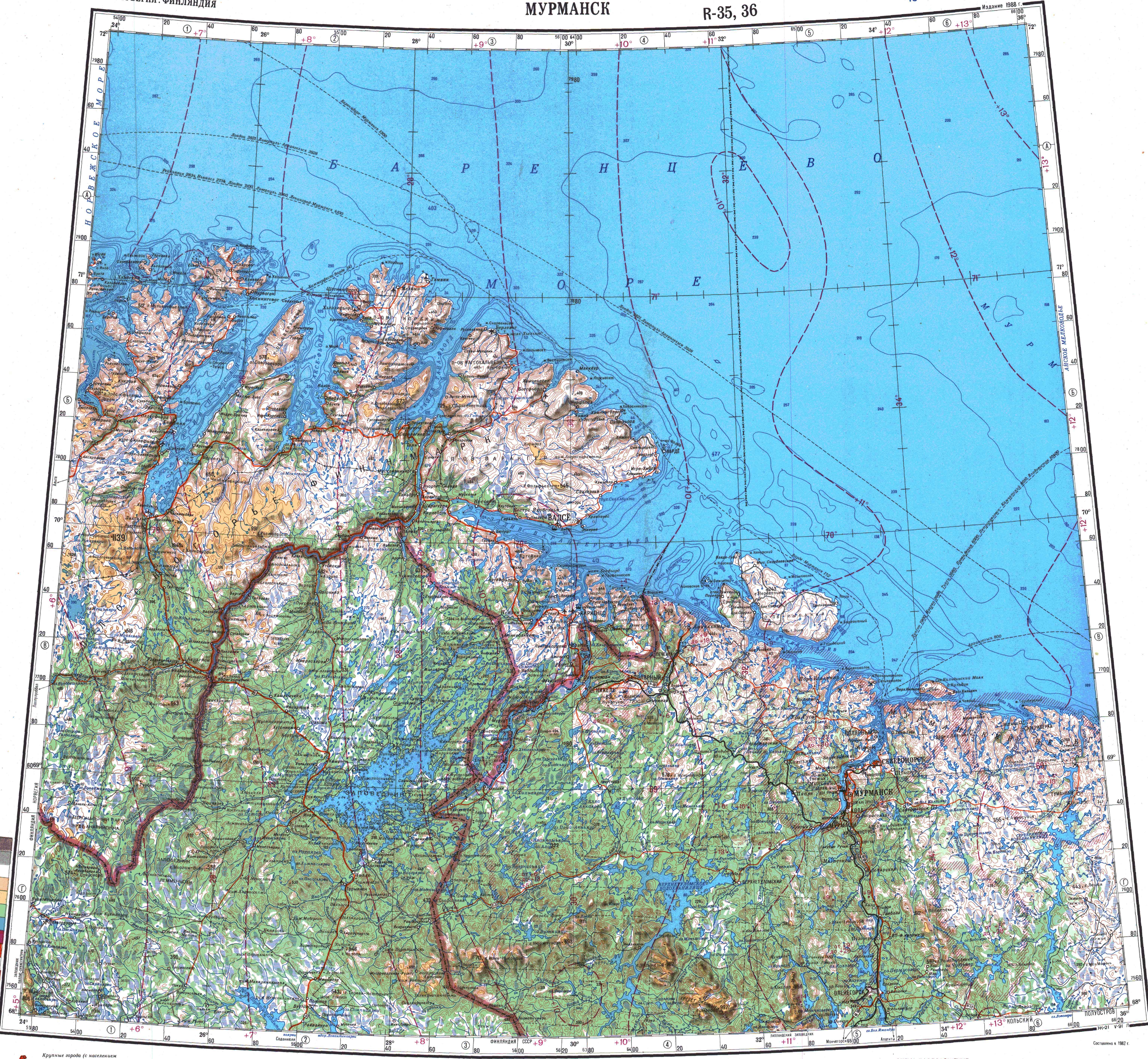
- ^ Soviet military map R-35,36 (1:1,000,000)
- ^ Protocol between the Governments of the Kingdom of Norway, the Republic of Finland and of the Union of Soviet Socialist Republics regarding the maintenance of the frontier mark erected at Muotkavaara (Krokfjellet) at the meeting-point of the State frontiers of Norway, Finland and the Soviet Union, 7 February 1953 (Official texts in Russian, Norwegian, and Finnish, and translations into English and French pp. 144–161)
- ^ "Norgeskart". Statens kartverk. Retrieved 14 August 2012.
- ^ "Muotkavaara - lines in the wilderness". by-the-borderline.com. Archived from the original on October 31, 2016. Retrieved October 1, 2016.
- ^ Ilmari Mattus (2006). "Paikannimistö" (PDF). Paistunturin erämaa-alueen ja Kevon luonnonpuiston luonto, käyttö ja paikannimistö. Metsähallitus. p. 148. Retrieved 14 August 2012.[permanent dead link]
- ^ "Suomen–Norjan valtakunnanrajankäynti 2000: Rajamerkkipöytäkirja" (PDF). Retrieved 14 August 2012.
- ^ "Suomen ja Norjan rajankäynti: Pöytäkirja rajamerkistä "Muotkavaara" (Krokfjellet), joka on asetettu Suomen, SNT-Liiton ja Norjan valtakunnanrajojen yhtymäkohtaan (1947)" (PDF). 2000. Retrieved 14 August 2012.
- ^ Svein Askheim. "Treriksrøysa – Sør-Varanger". Store norske leksikon. Retrieved October 1, 2016.
- ^ Pekka Tätilä (2003). "Suomen ja Norjan valtakunnanraja - Vuoden 2000 rajankäynti" (PDF). Maanmittaus. 78 (1–2): 46–56. Retrieved 14 August 2012.
- ^ "Pasvik–Inari: Yhteinen luonto ja historia" (PDF). Inari–Pasvik-alueen luonnonsuojelun ja kestävän luontomatkailun edistämisen yhteistyöhanke. 2007. Retrieved 14 August 2012.
69°03.44′N 28°55.41′E / 69.05733°N 28.92350°E