
| Mount Tyson Queensland | |||||||||||||||
|---|---|---|---|---|---|---|---|---|---|---|---|---|---|---|---|
 Fields along Toowoomba Cecil Plains Road, 2014 | |||||||||||||||
 Mount Tyson | |||||||||||||||
| Coordinates | 27°34′29″S 151°34′07″E / 27.5747°S 151.5686°E | ||||||||||||||
| Population | 285 (2016 census)[1] | ||||||||||||||
| • Density | 3.711/km2 (9.611/sq mi) | ||||||||||||||
| Postcode(s) | 4356 | ||||||||||||||
| Area | 76.8 km2 (29.7 sq mi) | ||||||||||||||
| Time zone | AEST (UTC+10:00) | ||||||||||||||
| Location |
| ||||||||||||||
| LGA(s) | Toowoomba Region | ||||||||||||||
| State electorate(s) | Condamine | ||||||||||||||
| Federal division(s) | Groom | ||||||||||||||
| |||||||||||||||
Mount Tyson is a rural town and locality in the Toowoomba Region, Queensland, Australia.[2][3] In the 2016 census, the locality of Mount Tyson had a population of 285 people.[1]
YouTube Encyclopedic
-
1/5Views:8576302 133683713
-
Climbing Mount Tyson in Tully, QLD, Australia.
-
Oakey severe storm and Lockyer Valley storms
-
Residential School Survivor Personal Stories
-
Think Indigenous 3 Evan Taypotat_March_19_2015
-
FULL INTERVIEW: VAL NAPOLEON + REBECCA JOHNSON (PART 1)
Transcription
Geography
Mount Tyson is on the Darling Downs. It is located 37 kilometres (23 mi) west of Toowoomba city centre.[4]
The Toowoomba–Cecil Plains Road runs along part of the northern boundary.[5]
Mount Tyson has the following mountains:
- Mount Edgecombe (27°32′14″S 151°33′46″E / 27.5371°S 151.5627°E) 412 metres (1,352 ft)[6][7]
- Mount Tyson (27°34′31″S 151°33′00″E / 27.5752°S 151.5499°E) 481 metres (1,578 ft)[6][8]
History
The town's name derives from the name of its railway station, which in turn was derived from the local mountain, which was believed to be named after James Tyson, a grazier and Member of the Queensland Legislative Council.[3]
Mount Tyson Provisional School opened on 18 April 1904 (Easter) with 35 pupils;[9] Minnie (McIntyre) Fletcher was the first teacher.[9][10] On 1 January 1909, it became Mount Tyson State School.[11] The school was extended in 1916, 1949, 1963, 1973 (library) and 1996 (Prep year building). The school celebrated its centenary in 2004.[9]
Mount Tyson Post Office opened by 1917 (a receiving office had been open from 1904, briefly known as Mount Russell).[12]
Between 1914 and 1994, the town was serviced by the Cecil Plains railway line.
St Philip's Anglican Church was dedicated on 13 October 1907 by St Clair Donaldson, the Anglican Archbishop of Brisbane.[13] When St John's Anglican Church in Springside closed circa 1974, its church building was relocated to the site of St Philip's for use as a Sunday school and later remodelled as a parish hall.[14] Circa 2014, St Philip's church also closed.[15] The land with the two church buildings at 6-8 Main Street (27°34′28″S 151°34′09″E / 27.574553°S 151.569053°E) was sold as a single lot on 4 August 2016 and is now privately owned.[13][16]
Mount Tyson Methodist Church was built in 1907 at a cost of £105. It could seat 100 people. It has since been demolished.[17]
Mary Immaculate Catholic Church was built in 1958. The timber church was designed by F Cullen.[18]
In 1991, Mount Tyson was the national winner of the Australian Tidy Town Awards, run by Keep Australia Beautiful.[19]
In the 2016 census, the locality of Mount Tyson had a population of 285 people.[1]
Education
Mount Tyson State School is a government primary (Prep-6) school for boys and girls at Main Street (27°34′29″S 151°34′10″E / 27.5746°S 151.5694°E).[20][21] In 2017, the school had an enrolment of 58 students with 7 teachers (4 full-time equivalent) and 8 non-teaching staff (4 full-time equivalent).[22] In 2018, the school had an enrolment of 55 students with 6 teachers (4 full-time equivalent) and 7 non-teaching staff (3 full-time equivalent).[23]
There are no secondary schools in Mount Tyson. The nearest secondary schools are Pittsworth State High School in Pittsworth to the south and Oakey State High School in Oakey to the north-east.[24]
Amenities
Library services in Mount Tyson are provided by the Toowoomba Regional Council's mobile library service. The van visits Mt Tyson on the 2nd and 4th Tuesday of each month.[25]
Mary Immaculate Catholic Church is at 45 Main Street (27°34′29″S 151°33′57″E / 27.5747°S 151.5658°E).[18][26]
Notable residents
- Sir Alan Roy Fletcher, chairman of Pittsworth Shire Council and Member of the Queensland Legislative Assembly for Cunningham
References
- ^ a b c Australian Bureau of Statistics (27 June 2017). "Mount Tyson (SSC)". 2016 Census QuickStats. Retrieved 20 October 2018.
- ^ "Mount Tyson – town in Toowoomba Region (entry 23166)". Queensland Place Names. Queensland Government. Retrieved 14 August 2022.
- ^ a b "Mount Tyson – locality in Toowoomba Region (entry 49194)". Queensland Place Names. Queensland Government. Retrieved 14 August 2022.
- ^ "Mount Tyson". Queensland Places. Centre for the Government of Queensland, University of Queensland. Archived from the original on 28 December 2013. Retrieved 22 February 2014.
- ^ Google (13 February 2022). "Mount Tyson, Queensland" (Map). Google Maps. Google. Retrieved 13 February 2022.
- ^ a b "Mountain peaks and capes - Queensland". Queensland Open Data. Queensland Government. 12 November 2020. Archived from the original on 25 November 2020. Retrieved 25 November 2020.
- ^ "Mount Edgecombe – mountain in Toowoomba Region (entry 11179)". Queensland Place Names. Queensland Government. Retrieved 25 November 2020.
- ^ "Mount Tyson – mountain in Toowoomba Region (entry 35703)". Queensland Place Names. Queensland Government. Retrieved 25 November 2020.
- ^ a b c "History". Mount Tyson State School. 7 November 2019. Archived from the original on 11 November 2023. Retrieved 7 November 2022.
- ^ "Opening and closing dates of Queensland Schools". Queensland Government. Retrieved 18 April 2019.
- ^ Queensland Family History Society (2010), Queensland schools past and present (Version 1.01 ed.), Queensland Family History Society, ISBN 978-1-921171-26-0
- ^ Premier Postal History. "Post Office List". Premier Postal Auctions. Archived from the original on 15 May 2014. Retrieved 10 May 2014.
- ^ a b "Main Street, Mount Tyson, Qld 4356". realestate.com.au. Archived from the original on 6 November 2019. Retrieved 6 November 2019.
- ^ "Anglican Records and Archives Centre - Closed Churches". Archived from the original on 3 April 2019. Retrieved 6 November 2019.
- ^ "Closed Churches". Anglican Church of Southern Queensland. Archived from the original on 3 April 2019. Retrieved 3 April 2019.
- ^ "Australia's Christian Heritage: St Philip's Anglican Church - Former". 8 October 2013. Archived from the original on 3 April 2019. Retrieved 3 April 2019.
- ^ Blake, Thom. "Mount Tyson Methodist Church". Queensland religious places database. Archived from the original on 8 November 2022. Retrieved 22 September 2022.
- ^ a b Blake, Thom. "Mary Immaculate Catholic Church". Queensland religious places database. Archived from the original on 6 November 2022. Retrieved 22 September 2022.
- ^ "Australian Tidy Towns Honour Roll". Keep Australia Beautiful. Archived from the original on 26 February 2014. Retrieved 22 February 2014.
- ^ "State and non-state school details". Queensland Government. 9 July 2018. Archived from the original on 21 November 2018. Retrieved 21 November 2018.
- ^ "Mount Tyson State School". Mount Tyson State School. 6 November 2019. Archived from the original on 11 November 2023. Retrieved 7 November 2022.
- ^ "ACARA School Profile 2017". Archived from the original on 22 November 2018. Retrieved 22 November 2018.
- ^ "ACARA School Profile 2018". Australian Curriculum, Assessment and Reporting Authority. Archived from the original on 27 August 2020. Retrieved 28 January 2020.
- ^ "Queensland Globe". State of Queensland. Retrieved 13 November 2022.
- ^ "Mobile library". Toowoomba Regional Council. Archived from the original on 24 October 2014. Retrieved 10 November 2014.
- ^ "Mary Immaculate Church, Mt Tyson". Roman Catholic Diocese of Toowoomba. 26 July 2017. Archived from the original on 19 November 2023. Retrieved 14 November 2022.
Further reading
- McNally, Paul Terence; Janke, Irene; Mount Tyson State School; Mount Tyson State School Parents and Citizens Association (2004), Mount Tyson State School : one hundred years of the best, 1904-2004, Mount Tyson State School Parent and Citizens Association, ISBN 978-0-646-43223-6
External links
- "Mount Tyson". Queensland Places. Centre for the Government of Queensland, University of Queensland.
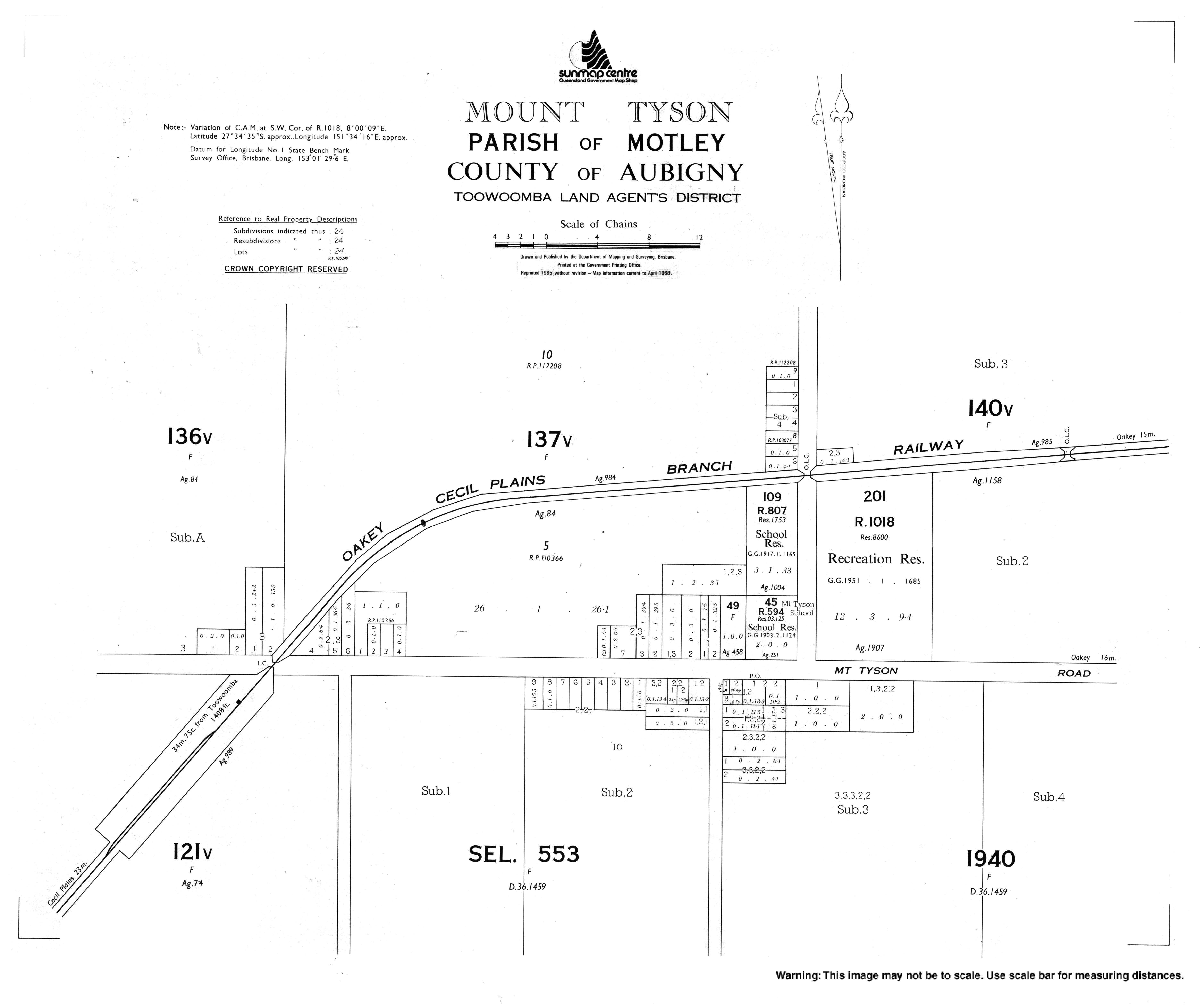
- Town map of Mount Tyson, 1968
- Mount Tyson State School}